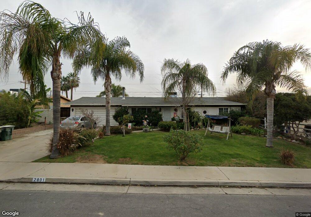
2801 Renegade Ave Bakersfield, CA 93306
College Heights NeighborhoodEstimated Value: $294,000 - $303,327
3
Beds
2
Baths
1,430
Sq Ft
$209/Sq Ft
Est. Value
About This Home
This home is located at 2801 Renegade Ave, Bakersfield, CA 93306 and is currently estimated at $299,332, approximately $209 per square foot. 2801 Renegade Ave is a home located in Kern County with nearby schools including Colonel Howard Nichols Elementary School, Chipman Junior High School, and East Bakersfield High School.
Ownership History
Date
Name
Owned For
Owner Type
Purchase Details
Closed on
Oct 13, 1997
Sold by
Brand John M
Bought by
Martinez Natalie
Current Estimated Value
Home Financials for this Owner
Home Financials are based on the most recent Mortgage that was taken out on this home.
Original Mortgage
$69,597
Interest Rate
7.19%
Mortgage Type
FHA
Create a Home Valuation Report for This Property
The Home Valuation Report is an in-depth analysis detailing your home's value as well as a comparison with similar homes in the area
Home Values in the Area
Average Home Value in this Area
Purchase History
| Date | Buyer | Sale Price | Title Company |
|---|---|---|---|
| Martinez Natalie | $70,000 | Fidelity National Title Co |
Source: Public Records
Mortgage History
| Date | Status | Borrower | Loan Amount |
|---|---|---|---|
| Previous Owner | Martinez Natalie | $69,597 | |
| Closed | Martinez Natalie | $2,489 |
Source: Public Records
Tax History Compared to Growth
Tax History
| Year | Tax Paid | Tax Assessment Tax Assessment Total Assessment is a certain percentage of the fair market value that is determined by local assessors to be the total taxable value of land and additions on the property. | Land | Improvement |
|---|---|---|---|---|
| 2025 | $1,914 | $111,737 | $47,884 | $63,853 |
| 2024 | $1,867 | $109,547 | $46,946 | $62,601 |
| 2023 | $1,867 | $107,400 | $46,026 | $61,374 |
| 2022 | $1,813 | $105,295 | $45,124 | $60,171 |
| 2021 | $1,709 | $103,232 | $44,240 | $58,992 |
| 2020 | $1,673 | $102,175 | $43,787 | $58,388 |
| 2019 | $1,639 | $102,175 | $43,787 | $58,388 |
| 2018 | $1,602 | $98,210 | $42,088 | $56,122 |
| 2017 | $1,590 | $96,285 | $41,263 | $55,022 |
| 2016 | $1,473 | $94,398 | $40,454 | $53,944 |
| 2015 | $1,539 | $92,981 | $39,847 | $53,134 |
| 2014 | $1,490 | $91,161 | $39,067 | $52,094 |
Source: Public Records
Map
Nearby Homes
- 2818 San Pablo Ave
- 2801 Kaibab Ave
- 2701 Kaibab Ave
- 2600 Driller Ave
- 2918 Gill Ave
- 2700 University Ave
- 2901 Dwight St
- 3119 University Ave
- 3613 Fleetwood Way
- 3516 Dana St Unit 3
- 3516 Dana St Unit 10
- 3200 University Ave
- 3706 Rampart St
- 2617 Eric Ct
- 3206 Candlewood Dr
- 2913 Harmony Dr
- 3413 Redlands Dr
- 3413 Cardinal Ave
- 2109 University Ave
- 3313 Century Dr
- 2807 Renegade Ave
- 2725 Renegade Ave
- 2800 Driller Ave
- 2806 Driller Ave
- 2724 Driller Ave
- 2813 Renegade Ave
- 2719 Renegade Ave
- 2800 Renegade Ave
- 2724 Renegade Ave
- 2806 Renegade Ave
- 2812 Driller Ave
- 2718 Driller Ave
- 2718 Renegade Ave
- 2812 Renegade Ave
- 2713 Renegade Ave
- 2819 Renegade Ave
- 2818 Driller Ave
- 2712 Driller Ave
- 2801 Blade Ave
- 2801 Driller Ave