280195 State Highway 53 Comanche, OK 73529
Estimated Value: $140,000 - $336,000
3
Beds
2
Baths
2,125
Sq Ft
$119/Sq Ft
Est. Value
About This Home
This home is located at 280195 State Highway 53, Comanche, OK 73529 and is currently estimated at $252,874, approximately $118 per square foot. 280195 State Highway 53 is a home located in Stephens County with nearby schools including Comanche Elementary School, Comanche Middle School, and Comanche High School.
Ownership History
Date
Name
Owned For
Owner Type
Purchase Details
Closed on
Mar 7, 2022
Sold by
Gordon Terry W and Gordon Laura A
Bought by
State Of Oklahoma
Current Estimated Value
Purchase Details
Closed on
May 8, 2008
Sold by
Bowden Joann
Bought by
Hopkins Debbie
Home Financials for this Owner
Home Financials are based on the most recent Mortgage that was taken out on this home.
Original Mortgage
$80,000
Interest Rate
5.86%
Mortgage Type
FHA
Purchase Details
Closed on
Apr 14, 2004
Sold by
Gordon Mary Etal
Purchase Details
Closed on
Apr 13, 2004
Sold by
Gordon Joyce
Create a Home Valuation Report for This Property
The Home Valuation Report is an in-depth analysis detailing your home's value as well as a comparison with similar homes in the area
Purchase History
| Date | Buyer | Sale Price | Title Company |
|---|---|---|---|
| State Of Oklahoma | -- | None Listed On Document | |
| Hopkins Debbie | $53,000 | None Available | |
| -- | $78,000 | -- | |
| -- | $12,000 | -- |
Source: Public Records
Mortgage History
| Date | Status | Borrower | Loan Amount |
|---|---|---|---|
| Previous Owner | Hopkins Debbie | $80,000 |
Source: Public Records
Tax History
| Year | Tax Paid | Tax Assessment Tax Assessment Total Assessment is a certain percentage of the fair market value that is determined by local assessors to be the total taxable value of land and additions on the property. | Land | Improvement |
|---|---|---|---|---|
| 2025 | $1,175 | $14,449 | $1,021 | $13,428 |
| 2024 | $1,180 | $14,021 | $1,021 | $13,000 |
| 2023 | $1,143 | $13,613 | $1,021 | $12,592 |
| 2022 | $1,137 | $13,930 | $1,021 | $12,909 |
| 2021 | $1,123 | $13,167 | $740 | $12,427 |
| 2020 | $1,095 | $12,950 | $740 | $12,210 |
| 2019 | $1,113 | $12,573 | $741 | $11,832 |
| 2018 | $1,072 | $12,574 | $743 | $11,831 |
| 2017 | $909 | $12,207 | $742 | $11,465 |
| 2016 | $883 | $11,507 | $742 | $10,765 |
| 2015 | $892 | $11,171 | $741 | $10,430 |
| 2014 | $892 | $11,171 | $741 | $10,430 |
Source: Public Records
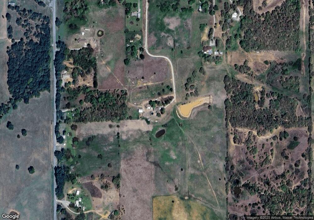
Map
Nearby Homes
- ? N 2800 Rd
- 117 Seminole Dr
- 182248 N 2790 Rd
- TBD E 1840 Rd
- 281477 Doctor Pepper Rd
- 303 N 8th St
- 311 S 6th St
- 703 Wilson Ave
- 731 N 7th St
- 508 Wilson Ave
- 620 Clark Ave
- 0 Oklahoma 53
- 282752 E 1800 Rd
- Rt Rt 2
- 181259 N 2590 Rd
- 180163 Larue Dr
- 282096 Andrews Dr
- 179712 Ledford Ln
- 181473 N 2850 Rd
- 280350 E 1780 Rd
- 280195 State Highway 53
- 280255 State Highway 53
- 280222 State Highway 53
- 280255 State Highway 53
- 280268 State Highway 53
- 228 Rr 1
- 184364 Us Highway 81
- 184681 Us Highway 81
- 280122 State Highway 53
- 284271 State Highway 53
- 232A Rr 1
- 280101 State Highway 53
- 223 Rr 1
- 221 Rr 1
- 54 Rr 3
- 279933 State Highway 53
- 279900 State Highway 53
- 279933 State Highway 53
- 280341 State Highway 53
- 280460 State Highway 53
Your Personal Tour Guide
Ask me questions while you tour the home.