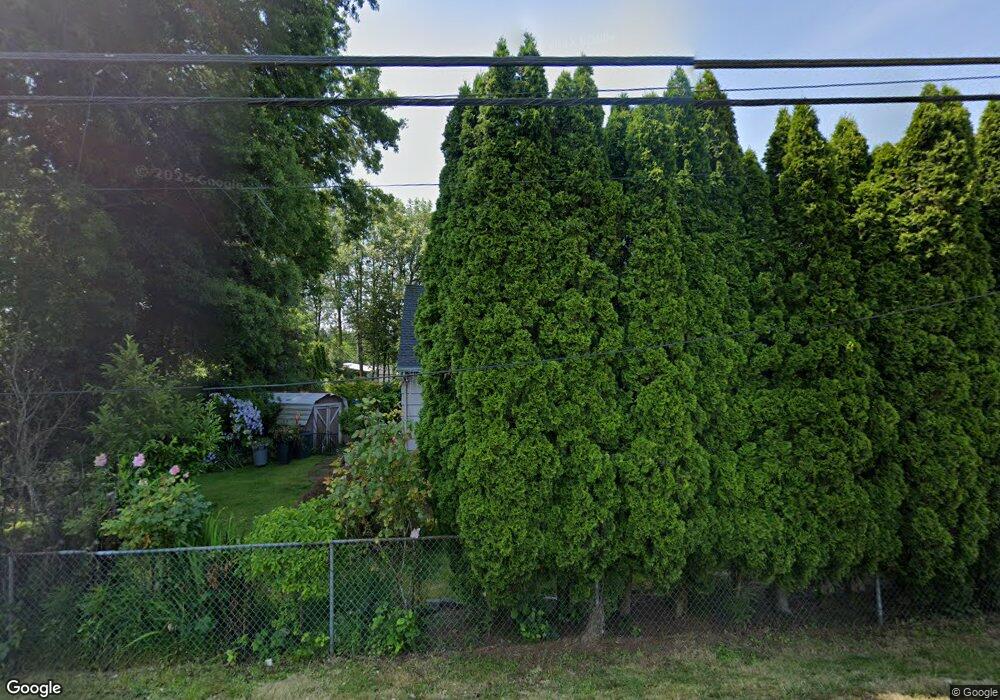
28022 SE Orient Dr Gresham, OR 97080
Sandy River NeighborhoodEstimated Value: $347,000 - $403,488
2
Beds
1
Bath
1,144
Sq Ft
$328/Sq Ft
Est. Value
About This Home
This home is located at 28022 SE Orient Dr, Gresham, OR 97080 and is currently estimated at $375,244, approximately $328 per square foot. 28022 SE Orient Dr is a home located in Multnomah County with nearby schools including East Orient Elementary School, West Orient Middle School, and Sam Barlow High School.
Ownership History
Date
Name
Owned For
Owner Type
Purchase Details
Closed on
Nov 20, 2013
Sold by
Shattuck Jimmie M
Bought by
Rodriquez Rosario and Blackwood Viecenta
Current Estimated Value
Purchase Details
Closed on
Nov 2, 1998
Sold by
Vancleave Rhue Dean and Vancleave Beatrice Joyce
Bought by
Shattuck Jimmie M and Shattuck Charlene R
Home Financials for this Owner
Home Financials are based on the most recent Mortgage that was taken out on this home.
Original Mortgage
$99,200
Interest Rate
6.6%
Create a Home Valuation Report for This Property
The Home Valuation Report is an in-depth analysis detailing your home's value as well as a comparison with similar homes in the area
Home Values in the Area
Average Home Value in this Area
Purchase History
| Date | Buyer | Sale Price | Title Company |
|---|---|---|---|
| Rodriquez Rosario | $110,000 | Wfg Title | |
| Shattuck Jimmie M | $124,000 | Ticor Title Insurance |
Source: Public Records
Mortgage History
| Date | Status | Borrower | Loan Amount |
|---|---|---|---|
| Previous Owner | Shattuck Jimmie M | $99,200 | |
| Closed | Shattuck Jimmie M | $12,400 |
Source: Public Records
Tax History
| Year | Tax Paid | Tax Assessment Tax Assessment Total Assessment is a certain percentage of the fair market value that is determined by local assessors to be the total taxable value of land and additions on the property. | Land | Improvement |
|---|---|---|---|---|
| 2025 | $3,378 | $177,630 | -- | -- |
| 2024 | $3,230 | $172,460 | -- | -- |
| 2023 | $3,157 | $167,440 | $0 | $0 |
| 2022 | $3,076 | $162,570 | $0 | $0 |
| 2021 | $2,993 | $157,840 | $0 | $0 |
| 2020 | $2,817 | $153,250 | $0 | $0 |
| 2019 | $2,746 | $148,790 | $0 | $0 |
| 2018 | $2,618 | $144,460 | $0 | $0 |
| 2017 | $2,516 | $140,260 | $0 | $0 |
| 2016 | $2,219 | $136,180 | $0 | $0 |
Source: Public Records
Map
Nearby Homes
- 2952 SE Pheasant Ave
- 6164 SE 29th Way
- 27238 SE Carl St
- 8105 SE 282nd Ave
- 6055 SE 28th St
- 5400 SE Chase Rd
- 2404 SE Jasmine Way
- 2314 SE Keller Ave
- 6433 SE 23rd St
- 3279 SE Anderson Rd
- 6421 SE 22nd St
- 6443 SE 22nd St
- 4489 SE Hillyard Ct
- 2728 SE Acacia Place
- 2600 SE Orient Dr
- 1649 SE Night Heron Way
- 4671 SE 21st Terrace
- 5827 SE 16th Loop
- 6103 SE 16th St
- 6109 SE 16th St
- 28032 SE Orient Dr
- 27944 SE Orient Dr
- 7135 SE 282nd Ave
- 28132 SE Carl St
- 7275 SE 282nd Ave
- 28131 SE Orient Dr
- 7110 SE Elsa St
- 0 SE Orient Dr
- -1 SE Orient Dr
- 28027 SE Orient Dr
- 28004 SE Carl St
- 7210 SE Elsa St
- 7222 SE Elsa St
- 0 SE Elsa St
- 27934 SE Carl St
- 27920 SE Carl St
- 7325 SE 282nd Ave
- 6928 SE 282nd Ave
- 27224 SE Carl St
- 27848 SE Orient Dr
