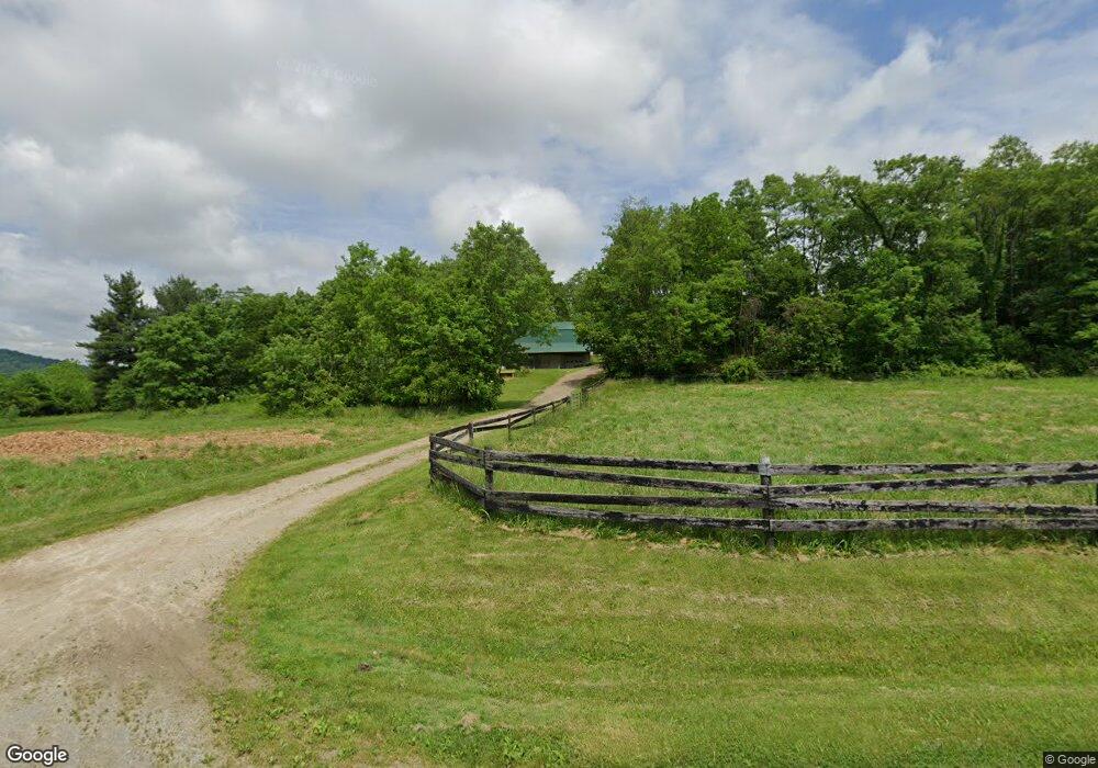
2803 Muddy Fork Rd Bainbridge, OH 45612
Estimated Value: $278,429 - $336,000
4
Beds
1
Bath
2,688
Sq Ft
$114/Sq Ft
Est. Value
About This Home
This home is located at 2803 Muddy Fork Rd, Bainbridge, OH 45612 and is currently estimated at $306,476, approximately $114 per square foot. 2803 Muddy Fork Rd is a home located in Pike County with nearby schools including Western Elementary School and Western High School.
Ownership History
Date
Name
Owned For
Owner Type
Purchase Details
Closed on
May 11, 2007
Sold by
Martin James and Martin Grace
Bought by
Auker Clyde M
Current Estimated Value
Home Financials for this Owner
Home Financials are based on the most recent Mortgage that was taken out on this home.
Original Mortgage
$19,446
Interest Rate
6.2%
Mortgage Type
Unknown
Create a Home Valuation Report for This Property
The Home Valuation Report is an in-depth analysis detailing your home's value as well as a comparison with similar homes in the area
Home Values in the Area
Average Home Value in this Area
Purchase History
| Date | Buyer | Sale Price | Title Company |
|---|---|---|---|
| Auker Clyde M | $25,000 | None Available |
Source: Public Records
Mortgage History
| Date | Status | Borrower | Loan Amount |
|---|---|---|---|
| Closed | Auker Clyde M | $19,446 |
Source: Public Records
Tax History Compared to Growth
Tax History
| Year | Tax Paid | Tax Assessment Tax Assessment Total Assessment is a certain percentage of the fair market value that is determined by local assessors to be the total taxable value of land and additions on the property. | Land | Improvement |
|---|---|---|---|---|
| 2024 | $2,240 | $70,540 | $10,450 | $60,090 |
| 2023 | $2,240 | $70,540 | $10,450 | $60,090 |
| 2022 | $1,781 | $54,530 | $8,700 | $45,830 |
| 2021 | $1,730 | $54,530 | $8,700 | $45,830 |
| 2020 | $1,742 | $54,530 | $8,700 | $45,830 |
| 2019 | $1,577 | $49,570 | $7,910 | $41,660 |
| 2018 | $2,540 | $49,570 | $7,910 | $41,660 |
| 2017 | $2,522 | $49,570 | $7,910 | $41,660 |
| 2016 | $1,667 | $51,230 | $3,900 | $47,330 |
| 2015 | $1,668 | $51,230 | $3,900 | $47,330 |
| 2014 | $1,700 | $51,230 | $3,900 | $47,330 |
| 2013 | $1,812 | $50,390 | $3,060 | $47,330 |
| 2012 | $1,859 | $50,390 | $3,060 | $47,330 |
Source: Public Records
Map
Nearby Homes
- 5283 Drybone Rd
- 14703 Brier Rd
- 4999 Auerville Rd
- 7724 Cave Rd
- 0 Schmidt Rd
- 61 Maple Dr
- 0 Maple Dr Unit 1841507
- 355 Maple Dr
- 1646 Bell Hollow Rd
- 316 S Maple St
- 201 N Maple St
- 301 N Maple St
- 0 Green Ridge Rd Unit 198065
- 0 Green Ridge Rd Unit 22808921
- 0 Green Ridge Rd Unit 1832842
- 1540 Cove Run Rd
- 1437 Green Ridge Rd
- 2780 Potts Hill Rd
- 2780 Potts Hill Rd Unit (Tract 4 at Potts Hi