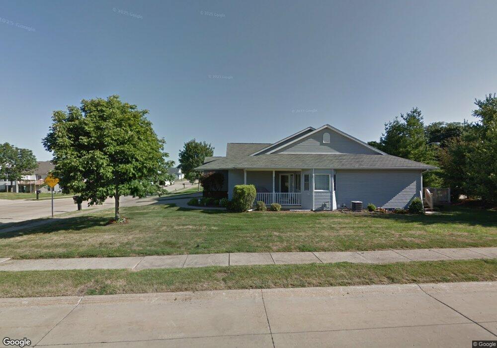
2803 N Stark St Davenport, IA 52804
Northwest Davenport NeighborhoodEstimated Value: $294,000 - $331,000
2
Beds
3
Baths
1,490
Sq Ft
$210/Sq Ft
Est. Value
About This Home
This home is located at 2803 N Stark St, Davenport, IA 52804 and is currently estimated at $312,847, approximately $209 per square foot. 2803 N Stark St is a home located in Scott County with nearby schools including Jackson Elementary School, Williams Intermediate School, and West High School.
Ownership History
Date
Name
Owned For
Owner Type
Purchase Details
Closed on
May 15, 2009
Sold by
Parry Phyllis J
Bought by
Welty Betty A
Current Estimated Value
Home Financials for this Owner
Home Financials are based on the most recent Mortgage that was taken out on this home.
Original Mortgage
$112,000
Outstanding Balance
$70,688
Interest Rate
4.83%
Mortgage Type
Purchase Money Mortgage
Estimated Equity
$242,159
Create a Home Valuation Report for This Property
The Home Valuation Report is an in-depth analysis detailing your home's value as well as a comparison with similar homes in the area
Home Values in the Area
Average Home Value in this Area
Purchase History
| Date | Buyer | Sale Price | Title Company |
|---|---|---|---|
| Welty Betty A | $182,000 | None Available |
Source: Public Records
Mortgage History
| Date | Status | Borrower | Loan Amount |
|---|---|---|---|
| Open | Welty Betty A | $112,000 |
Source: Public Records
Tax History Compared to Growth
Tax History
| Year | Tax Paid | Tax Assessment Tax Assessment Total Assessment is a certain percentage of the fair market value that is determined by local assessors to be the total taxable value of land and additions on the property. | Land | Improvement |
|---|---|---|---|---|
| 2025 | $4,004 | $271,940 | $39,450 | $232,490 |
| 2024 | $4,018 | $256,440 | $39,450 | $216,990 |
| 2023 | $4,908 | $256,440 | $39,450 | $216,990 |
| 2022 | $4,928 | $242,040 | $39,450 | $202,590 |
| 2021 | $4,928 | $242,040 | $39,450 | $202,590 |
| 2020 | $4,614 | $224,510 | $39,450 | $185,060 |
| 2019 | $4,774 | $224,510 | $39,450 | $185,060 |
| 2018 | $4,006 | $224,510 | $39,450 | $185,060 |
| 2017 | $1,063 | $194,470 | $39,450 | $155,020 |
| 2016 | $3,996 | $194,470 | $0 | $0 |
| 2015 | $3,996 | $198,890 | $0 | $0 |
| 2014 | $4,150 | $198,890 | $0 | $0 |
| 2013 | $4,072 | $0 | $0 | $0 |
| 2012 | -- | $192,840 | $42,850 | $149,990 |
Source: Public Records
Map
Nearby Homes
- 4030 W Columbia Ave
- 3549 W Garfield St
- 3518 W Garfield St
- Lot 12 Hidden Valley Cir
- 2511 Emerald Dr
- lots 1-10 Hidden Valley Cir
- 2325 N Zenith Ave
- 3536 Heatherton Dr
- 2413 Pioneer Ct
- 2653 N Elsie Ave
- 3823 W Lombard St
- 2230 Emerald Dr
- 2827 N Elsie Ave Unit 6
- 2225 N Ohio Ave
- 2110 N Fairmount St
- 3240 Heatherton Dr
- 2035 N Gayman Ave
- 3234 Heatherton Dr Unit 6
- 2109 N Michigan Ave
- 2104 Blanchard Ct
- 2805 N Stark St
- 2809 N Stark St
- 3907 W Garfield St
- 2731 N Zenith Ave
- 3919 W Garfield St
- 3929 W Garfield St
- 2802 N Stark St
- 2804 N Stark St
- 2725 N Zenith Ave
- 2811 N Stark St
- 3817 W Garfield St
- 2719 N Zenith Ave
- 4003 W 29th Ct
- 4025 W Garfield St
- 2713 N Zenith Ave
- 2813 N Stark St
- 2807 N Zenith Ave
- 4005 W 29th Ct
- 3811 W Garfield St
- 4024 W Hayes St