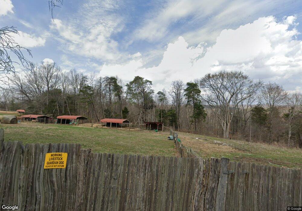
2804 Independence Ridge Rd Breeding, KY 42715
Estimated Value: $190,803 - $323,000
2
Beds
1
Bath
960
Sq Ft
$265/Sq Ft
Est. Value
About This Home
This home is located at 2804 Independence Ridge Rd, Breeding, KY 42715 and is currently estimated at $254,268, approximately $264 per square foot. 2804 Independence Ridge Rd is a home located in Adair County with nearby schools including Colonel William Casey Elementary School, Adair County Elementary School, and Adair County Middle School.
Ownership History
Date
Name
Owned For
Owner Type
Purchase Details
Closed on
Aug 15, 2014
Sold by
Roach James Earl and Roach Alice Carol
Bought by
Shrewsbury Robert and Shrewsbury Denise
Current Estimated Value
Home Financials for this Owner
Home Financials are based on the most recent Mortgage that was taken out on this home.
Original Mortgage
$138,444
Outstanding Balance
$44,890
Interest Rate
4.19%
Mortgage Type
New Conventional
Estimated Equity
$209,378
Purchase Details
Closed on
Jan 28, 2011
Sold by
Elder John A and Elder Yolanda R
Bought by
Shrewsbury Robert and Shrewsbury Denise
Create a Home Valuation Report for This Property
The Home Valuation Report is an in-depth analysis detailing your home's value as well as a comparison with similar homes in the area
Home Values in the Area
Average Home Value in this Area
Purchase History
| Date | Buyer | Sale Price | Title Company |
|---|---|---|---|
| Shrewsbury Robert | $134,400 | None Available | |
| Shrewsbury Robert | $94,000 | None Available |
Source: Public Records
Mortgage History
| Date | Status | Borrower | Loan Amount |
|---|---|---|---|
| Open | Shrewsbury Robert | $138,444 |
Source: Public Records
Tax History Compared to Growth
Tax History
| Year | Tax Paid | Tax Assessment Tax Assessment Total Assessment is a certain percentage of the fair market value that is determined by local assessors to be the total taxable value of land and additions on the property. | Land | Improvement |
|---|---|---|---|---|
| 2024 | $651 | $56,100 | $56,100 | $0 |
| 2023 | $661 | $56,100 | $56,100 | $0 |
| 2022 | $658 | $56,100 | $56,100 | $0 |
| 2021 | $662 | $56,100 | $56,100 | $0 |
| 2020 | $651 | $56,100 | $56,100 | $0 |
| 2019 | $657 | $56,100 | $56,100 | $0 |
| 2018 | $638 | $56,100 | $56,100 | $0 |
| 2017 | $635 | $56,100 | $56,100 | $0 |
| 2016 | $619 | $56,100 | $56,100 | $0 |
| 2015 | $522 | $56,100 | $56,100 | $0 |
| 2013 | $522 | $56,100 | $56,100 | $0 |
Source: Public Records
Map
Nearby Homes
- 536 Dirigo Rd
- 1572 Greenbriar Rd
- 0 Jay Wheeler Rd Unit HK25001489
- 100 Felton Fudge Rd
- 3700 W Fork Rd
- 345 Blue Ridge Cir
- 0 Breeding Loop Rd
- 1755 Old 61 Loop Rd
- 9625 Breeding Rd
- 0 Walnut Grove Rd
- 7.54 Walnut Grove Rd
- 1445 Weed Sparksville Rd
- 1982 Walnut Grove Rd
- 4743 Mosby Ridge Rd
- 950 Hughes Rd
- 2948 Chestnut Grove Rd
- 1200 Peg Garmon Rd
- 2751 Weed Sparksville Rd
- 4422 Reese Hurt Rd
- 2987 Chestnut Grove Rd
- 2988 Independence Ridge Rd
- 3560 Independence Ridge Rd
- 3742 Independence Ridge Rd
- 2307 Independence Ridge Rd
- 3875 Independence Ridge Rd
- 3105 Independence Ridge Rd
- 3150 Independence Ridge Rd
- 38 AC 38 Ac Independence Ridge Rd
- 2679 Independence Ridge Rd
- 3397 Independence Ridge Rd
- 185 Dirigo Rd
- 00 Dirigo Rd
- 9999 Independence Ridge Rd
- 1502 Independence Ridge Rd
- 1500 Independence Ridge Rd
- 1502 Independence Ridge Rd
- 38 AC Independence Ridge Rd
- 4205 Independence Ridge Rd
- 119 AC Independence Ridge Rd
- 2238 Independence Ridge Rd