2804 Liberty Point Dr Cheboygan, MI 49721
Estimated Value: $166,000 - $1,144,000
--
Bed
--
Bath
--
Sq Ft
0.86
Acres
About This Home
This home is located at 2804 Liberty Point Dr, Cheboygan, MI 49721 and is currently estimated at $822,578. 2804 Liberty Point Dr is a home located in Cheboygan County with nearby schools including Inland Lakes Elementary School and Inland Lakes Secondary School.
Ownership History
Date
Name
Owned For
Owner Type
Purchase Details
Closed on
Dec 26, 2024
Sold by
Whitmore Ronald W
Bought by
Whitemore Ronald W and Whitemore Sharon
Current Estimated Value
Purchase Details
Closed on
Jun 18, 2020
Sold by
Co-Ttees Whitmore and Co-Ttees Sharon
Bought by
Whitmore Ronald W and Whitmore Sharon
Home Financials for this Owner
Home Financials are based on the most recent Mortgage that was taken out on this home.
Original Mortgage
$148,500
Interest Rate
3.2%
Mortgage Type
New Conventional
Purchase Details
Closed on
Jun 18, 2018
Sold by
Harris-Whitmore Connie
Bought by
C Harris Whitmore Ret
Purchase Details
Closed on
Apr 27, 2005
Sold by
Whitmore Ronald
Bought by
Whitmore Ronald and Sharon Co-Ttees
Create a Home Valuation Report for This Property
The Home Valuation Report is an in-depth analysis detailing your home's value as well as a comparison with similar homes in the area
Home Values in the Area
Average Home Value in this Area
Purchase History
| Date | Buyer | Sale Price | Title Company |
|---|---|---|---|
| Whitemore Ronald W | -- | -- | |
| Whitmore Ronald W | -- | -- | |
| Whitmore Ronald And Sharon Trust | -- | -- | |
| C Harris Whitmore Ret | $909 | -- | |
| Whitmore Ronald | -- | -- |
Source: Public Records
Mortgage History
| Date | Status | Borrower | Loan Amount |
|---|---|---|---|
| Previous Owner | Whitmore Ronald And Sharon Trust | $148,500 |
Source: Public Records
Tax History Compared to Growth
Tax History
| Year | Tax Paid | Tax Assessment Tax Assessment Total Assessment is a certain percentage of the fair market value that is determined by local assessors to be the total taxable value of land and additions on the property. | Land | Improvement |
|---|---|---|---|---|
| 2025 | $5,492 | $423,100 | $0 | $0 |
| 2024 | $2,950 | $403,700 | $0 | $0 |
| 2023 | $2,827 | $330,700 | $0 | $0 |
| 2022 | $2,692 | $283,600 | $0 | $0 |
| 2021 | $4,974 | $221,100 | $221,100 | $0 |
| 2020 | $4,901 | $223,700 | $223,700 | $0 |
| 2019 | $4,755 | $214,100 | $214,100 | $0 |
| 2018 | $4,758 | $214,500 | $0 | $0 |
| 2017 | $4,620 | $212,900 | $0 | $0 |
| 2016 | $4,604 | $213,200 | $0 | $0 |
| 2015 | -- | $224,300 | $0 | $0 |
| 2014 | -- | $248,800 | $0 | $0 |
| 2012 | -- | $243,900 | $0 | $0 |
Source: Public Records
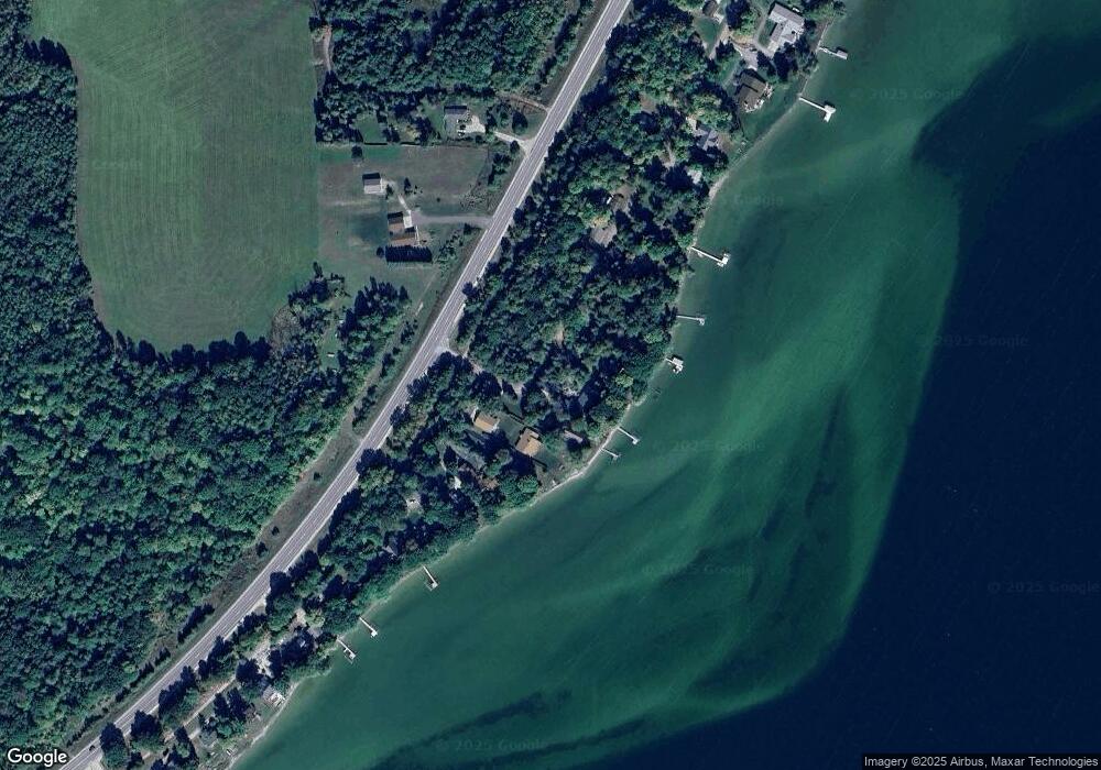
Map
Nearby Homes
- 2644 Royal Oak Beach Dr
- Parcel ''E Woodmansee Rd
- Parcel D Woodmansee Rd
- Parcel C Woodmansee Rd
- Parcel B Woodmansee Rd
- 3899 Schook Rd
- 3410 Mullett Burt Rd
- 1400 Topinabee Shore Dr
- 0 Arthur St Unit 201832938
- 302 NE Mullett Lake Rd
- 1076 W Devereaux Lake Rd
- 4989 S Extension Rd
- V/L 0.38AC Birchwood Dr
- 1797 Derby Rd
- 1825 Derby Rd
- V/L 30.3ac W Silver Beach Rd
- 512 S Grandview Beach Rd
- 0 Indian Trail Rd Unit 201833397
- 4310 E Burt Lake Rd
- 6214 Waubun Rd
- 2820 Liberty Point Dr
- 2784 Liberty Point Dr
- 2834 Liberty Point Dr
- 2740 Liberty Point
- 2850 Liberty Point Dr
- 2802 Liberty Point Dr
- 2858 Liberty Point Dr
- 2865 Liberty Point Dr
- 2744 Liberty Point Dr
- 2730 Liberty Point Dr
- 2726 Liberty Point Dr
- 2876 Liberty Point Dr
- 2702 N Straits Hwy
- 2720 Liberty Point Dr
- 2710 Liberty Point Dr
- 2904 Liberty Point Dr
- 2892 Liberty Point (Parc 1) Dr
- 2771 N Straits Hwy
- 2811 N Straits Hwy
- 2936 Liberty Point Dr