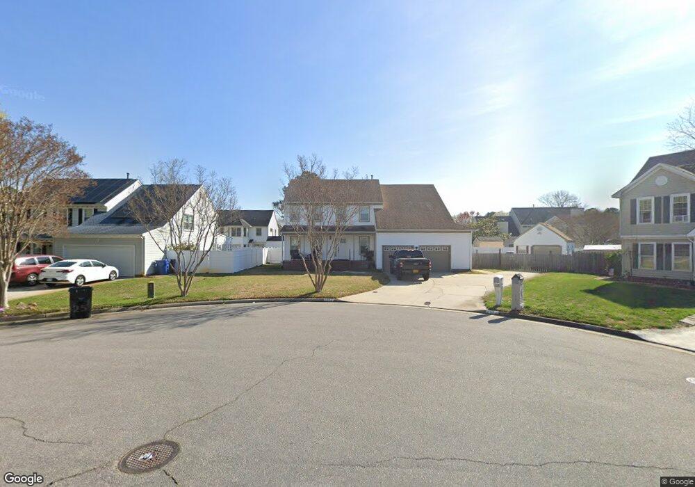
2804 Weak Branch Ct Virginia Beach, VA 23453
Dam Neck NeighborhoodEstimated Value: $560,706 - $627,000
4
Beds
3
Baths
2,417
Sq Ft
$246/Sq Ft
Est. Value
About This Home
This home is located at 2804 Weak Branch Ct, Virginia Beach, VA 23453 and is currently estimated at $593,927, approximately $245 per square foot. 2804 Weak Branch Ct is a home located in Virginia Beach City with nearby schools including Christopher Farms Elementary School, Landstown Middle School, and Landstown High School.
Ownership History
Date
Name
Owned For
Owner Type
Purchase Details
Closed on
Jun 8, 2015
Sold by
Constmer Properties Llc
Bought by
Kunka Michael A
Current Estimated Value
Home Financials for this Owner
Home Financials are based on the most recent Mortgage that was taken out on this home.
Original Mortgage
$335,700
Outstanding Balance
$260,841
Interest Rate
3.84%
Mortgage Type
VA
Estimated Equity
$333,086
Purchase Details
Closed on
Mar 17, 2015
Sold by
Atlantic Trustee Services Llc and Sykes Roy E
Bought by
Consumer Properties Llc
Create a Home Valuation Report for This Property
The Home Valuation Report is an in-depth analysis detailing your home's value as well as a comparison with similar homes in the area
Home Values in the Area
Average Home Value in this Area
Purchase History
| Date | Buyer | Sale Price | Title Company |
|---|---|---|---|
| Kunka Michael A | $325,000 | -- | |
| Consumer Properties Llc | $242,000 | -- |
Source: Public Records
Mortgage History
| Date | Status | Borrower | Loan Amount |
|---|---|---|---|
| Open | Kunka Michael A | $335,700 |
Source: Public Records
Tax History Compared to Growth
Tax History
| Year | Tax Paid | Tax Assessment Tax Assessment Total Assessment is a certain percentage of the fair market value that is determined by local assessors to be the total taxable value of land and additions on the property. | Land | Improvement |
|---|---|---|---|---|
| 2025 | $4,746 | $504,300 | $165,000 | $339,300 |
| 2024 | $4,746 | $489,300 | $160,000 | $329,300 |
| 2023 | $4,802 | $485,000 | $160,000 | $325,000 |
| 2022 | $4,277 | $106,000 | $0 | $106,000 |
| 2021 | $1,611 | $386,800 | $114,000 | $272,800 |
| 2020 | $3,465 | $340,500 | $112,000 | $228,500 |
| 2019 | $3,578 | $327,000 | $106,000 | $221,000 |
| 2018 | $3,278 | $327,000 | $106,000 | $221,000 |
| 2017 | $3,186 | $317,800 | $105,000 | $212,800 |
| 2016 | $3,116 | $314,700 | $100,000 | $214,700 |
| 2015 | $3,209 | $324,100 | $100,000 | $224,100 |
| 2014 | $2,875 | $293,300 | $97,500 | $195,800 |
Source: Public Records
Map
Nearby Homes
- 1729 Chestwood Dr
- 2946 Sugar Maple Dr
- 1909 Maple Shade Dr
- 3005 Winterberry Ln
- 2812 Pleasant Acres Dr
- 2604 Saint Regis Ln
- 2921 Bluegrass Ln
- 2020 Aloma Dr
- 3129 Damascus Trail
- 2748 Christopher Farms Dr
- 1909 Dannemora Dr
- 2516 Placid Place
- 3104 Bloomfield Ct
- 2605 Killey Ct
- 2505 Shea Cir
- 3060 Glastonbury Dr
- 2629 Mulberry Loop
- 1804 Monet Ct
- 1812 Monet Ct
- 2537 Springhaven Dr
- 2800 Weak Branch Ct
- 2813 Densewoods Ln
- 2808 Weak Branch Ct
- 2805 Densewoods Ln
- 2817 Densewoods Ln
- 1728 Glassy Lake Dr
- 2801 Weak Branch Ct
- 1732 Glassy Lake Dr
- 2805 Weak Branch Ct
- 1745 Rose Petal Dr
- 1736 Glassy Lake Dr
- 2812 Densewoods Ln
- 1736 Rose Petal Dr
- 1740 Rose Petal Dr
- 1725 Rose Petal Dr
- 1732 Rose Petal Dr
- 1744 Rose Petal Dr
- 2804 Densewoods Ln
- 1749 Rose Petal Dr
- 1800 Rose Petal Ct