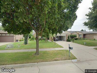
28046 Dowland Ct Warren, MI 48092
Northwest Warren NeighborhoodEstimated Value: $287,000 - $325,000
3
Beds
2
Baths
1,549
Sq Ft
$197/Sq Ft
Est. Value
About This Home
This home is located at 28046 Dowland Ct, Warren, MI 48092 and is currently estimated at $305,443, approximately $197 per square foot. 28046 Dowland Ct is a home located in Macomb County with nearby schools including Lean Elementary School, Beer Middle School, and Warren Mott High School.
Ownership History
Date
Name
Owned For
Owner Type
Purchase Details
Closed on
Jan 24, 2025
Sold by
Rice Lisa Gayle and Dreibelbis Delois Rice
Bought by
Dreibelbis Delois Rice and Rice Lisa
Current Estimated Value
Purchase Details
Closed on
May 7, 2014
Sold by
Stepanchenko Loretta
Bought by
Stepanchenko Loretta and Stepanchenko Edward
Purchase Details
Closed on
Jun 18, 1997
Sold by
Gorgon J and Gorgon G
Bought by
Rice D
Create a Home Valuation Report for This Property
The Home Valuation Report is an in-depth analysis detailing your home's value as well as a comparison with similar homes in the area
Home Values in the Area
Average Home Value in this Area
Purchase History
| Date | Buyer | Sale Price | Title Company |
|---|---|---|---|
| Dreibelbis Delois Rice | -- | None Listed On Document | |
| Stepanchenko Loretta | -- | None Available | |
| Rice D | $149,000 | -- |
Source: Public Records
Mortgage History
| Date | Status | Borrower | Loan Amount |
|---|---|---|---|
| Previous Owner | Dreibelbis Thurlow D | $37,250 |
Source: Public Records
Tax History Compared to Growth
Tax History
| Year | Tax Paid | Tax Assessment Tax Assessment Total Assessment is a certain percentage of the fair market value that is determined by local assessors to be the total taxable value of land and additions on the property. | Land | Improvement |
|---|---|---|---|---|
| 2024 | $3,428 | $125,420 | $0 | $0 |
| 2023 | $3,249 | $103,340 | $0 | $0 |
| 2022 | $3,139 | $94,290 | $0 | $0 |
| 2021 | $3,194 | $90,360 | $0 | $0 |
| 2020 | $3,080 | $87,910 | $0 | $0 |
| 2019 | $2,969 | $83,790 | $0 | $0 |
| 2018 | $85 | $77,580 | $0 | $0 |
| 2017 | $2,978 | $76,790 | $10,260 | $66,530 |
| 2016 | $2,975 | $76,790 | $0 | $0 |
| 2015 | -- | $69,510 | $0 | $0 |
| 2013 | $2,791 | $51,160 | $0 | $0 |
Source: Public Records
Map
Nearby Homes
- 28314 James Dr
- 28089 Saint Louise Dr
- 28130 Liberty Dr
- 28287 Saint Louise Dr
- 27641 Liberty Dr
- 28232 Universal Dr
- 28238 Universal Dr
- 27429 Virginia Dr
- 27908 Ryan Rd
- 28530 Ryan Rd
- 29148 W Nottingham Cir
- 4432 Martin Rd
- 4436 Nutmeg Ct
- 2366 Edwin Dr
- 3036 E 11 Mile Rd
- 3654 E 11 Mile Rd
- 29269 Ryan Rd
- 1603 Harvard Dr
- 28015 Loretta Ave
- 26630 Thomas St
- 28046 Dowland Ct
- 28062 Dowland Ct
- 28028 Dowland Ct
- 28080 Dowland Ct
- 28010 Dowland Ct
- 28069 Revere Ave
- 28035 Revere Ave
- 28114 Dowland Ct
- 28101 Revere Ave
- 28043 Dowland Ct
- 3003 Martin Rd
- 28029 Dowland Ct
- 28061 Dowland Ct
- 28007 Dowland Ct
- 28079 Dowland Ct
- 28142 Dowland Ct
- 28135 Revere Ave
- 28115 Dowland Ct
- 28176 Dowland Ct
- 28147 Dowland Ct