Estimated Value: $660,000 - $846,000
3
Beds
2
Baths
1,714
Sq Ft
$423/Sq Ft
Est. Value
About This Home
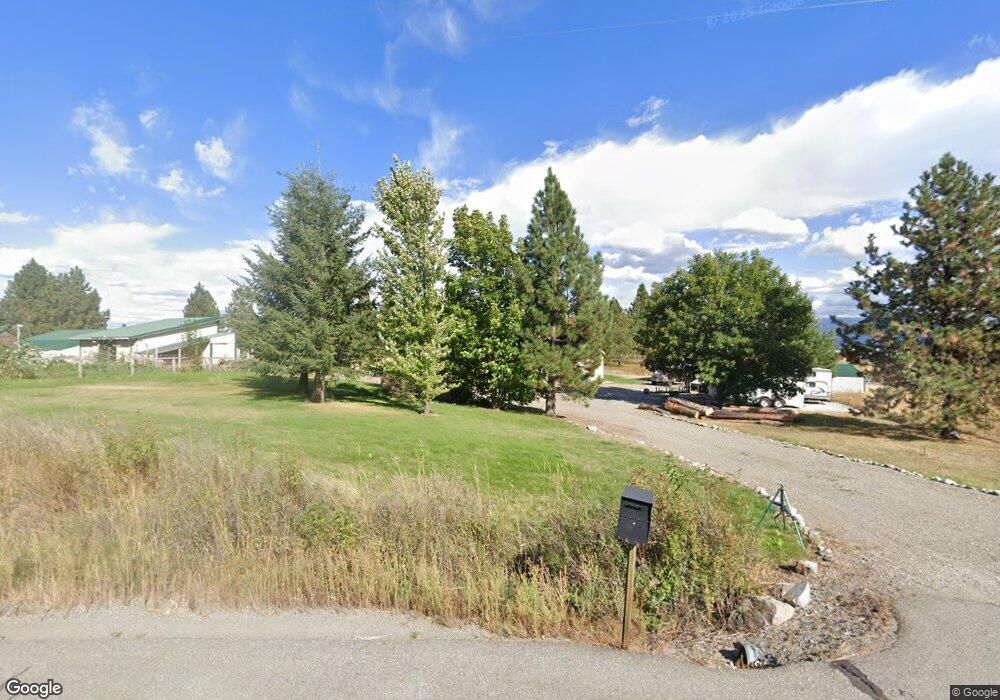
This home is located at 28064 N Weir Rd, Athol, ID 83801 and is currently estimated at $725,369, approximately $423 per square foot. 28064 N Weir Rd is a home located in Kootenai County with nearby schools including Athol Elementary School, Timberlake Junior High School, and Timberlake Senior High School.
Ownership History
Date
Name
Owned For
Owner Type
Purchase Details
Closed on
Aug 26, 2020
Sold by
Larson Michael J and Larson Lowel Kristin
Bought by
Larson Michael J
Current Estimated Value
Home Financials for this Owner
Home Financials are based on the most recent Mortgage that was taken out on this home.
Original Mortgage
$290,375
Outstanding Balance
$255,337
Interest Rate
2.9%
Mortgage Type
VA
Estimated Equity
$470,032
Purchase Details
Closed on
May 4, 2018
Sold by
Larson Michael J and Larson Kristin E
Bought by
Larson Michael J and Larson Kristin E
Home Financials for this Owner
Home Financials are based on the most recent Mortgage that was taken out on this home.
Original Mortgage
$72,500
Interest Rate
4.45%
Mortgage Type
Credit Line Revolving
Purchase Details
Closed on
Jan 25, 2012
Sold by
Larson Jeanine Andrea Raymond and Raymond Jeanine
Bought by
Larson Michael J
Create a Home Valuation Report for This Property
The Home Valuation Report is an in-depth analysis detailing your home's value as well as a comparison with similar homes in the area
Purchase History
| Date | Buyer | Sale Price | Title Company |
|---|---|---|---|
| Larson Michael J | -- | Wfg Lender Services | |
| Larson Michael J | -- | First American Title | |
| Larson Michael J | -- | None Available |
Source: Public Records
Mortgage History
| Date | Status | Borrower | Loan Amount |
|---|---|---|---|
| Open | Larson Michael J | $290,375 | |
| Closed | Larson Michael J | $72,500 |
Source: Public Records
Tax History
| Year | Tax Paid | Tax Assessment Tax Assessment Total Assessment is a certain percentage of the fair market value that is determined by local assessors to be the total taxable value of land and additions on the property. | Land | Improvement |
|---|---|---|---|---|
| 2025 | $274 | $557,102 | $261,452 | $295,650 |
| 2024 | $1,611 | $559,798 | $262,138 | $297,660 |
| 2023 | $1,611 | $584,798 | $287,138 | $297,660 |
| 2022 | $1,993 | $610,827 | $313,167 | $297,660 |
| 2021 | $2,020 | $411,071 | $178,872 | $232,199 |
| 2020 | $2,116 | $356,603 | $166,283 | $190,320 |
| 2019 | $2,126 | $323,508 | $143,808 | $179,700 |
| 2018 | $1,599 | $243,868 | $126,008 | $117,860 |
| 2017 | $1,390 | $238,026 | $122,396 | $115,630 |
| 2016 | $1,191 | $213,939 | $103,359 | $110,580 |
| 2015 | $1,130 | $135,423 | $25,653 | $109,770 |
| 2013 | $1,237 | $163,886 | $73,296 | $90,590 |
Source: Public Records
Map
Nearby Homes
- 27408 N Weir Rd
- 300 E Seasons Rd
- 1107 E Yellow Pine Ave
- 811 E Seasons Rd
- NKA E War Eagle Ave
- 1971 E Yellow Pine Ave
- 29818 N Archer Rd
- 2238 E Blaine St
- 29831 N Archer Rd
- L2 B6 N Archer Rd
- 1888 E Shoshone Ave
- L3B6 N Archer Rd
- XXXX E Blaine St
- L4B5 N Archer Rd
- 1829 W Smoke Tree Ave
- 2128 E Shoshone Ave
- 2455 W Seasons Rd
- NNA W Smoke Tree Ave
- 2609 W Seasons Rd
- L2B1 N Pauls Ln
Your Personal Tour Guide
Ask me questions while you tour the home.