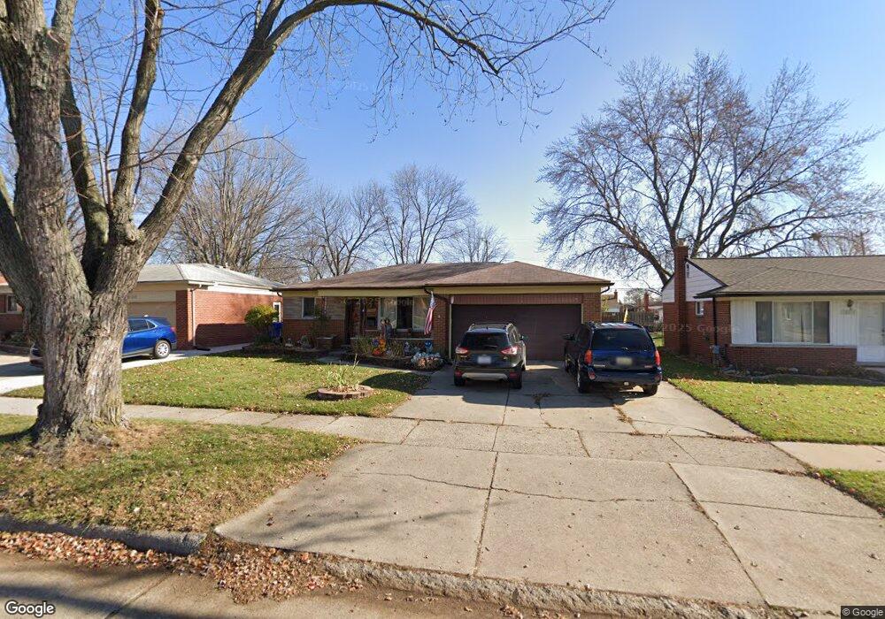
28066 Newport Dr Warren, MI 48088
Northeast Warren NeighborhoodEstimated Value: $227,613 - $243,000
3
Beds
1
Bath
1,012
Sq Ft
$232/Sq Ft
Est. Value
About This Home
This home is located at 28066 Newport Dr, Warren, MI 48088 and is currently estimated at $234,403, approximately $231 per square foot. 28066 Newport Dr is a home located in Macomb County with nearby schools including Warren Woods Tower High School, Michigan Mathematics and Science Academy, and Frontier International Academy Elementary.
Ownership History
Date
Name
Owned For
Owner Type
Purchase Details
Closed on
Nov 11, 2005
Sold by
Schwink Robert D and Schwink Harold Rupert
Bought by
Schwink Harold R
Current Estimated Value
Home Financials for this Owner
Home Financials are based on the most recent Mortgage that was taken out on this home.
Original Mortgage
$126,850
Interest Rate
6.13%
Mortgage Type
FHA
Create a Home Valuation Report for This Property
The Home Valuation Report is an in-depth analysis detailing your home's value as well as a comparison with similar homes in the area
Home Values in the Area
Average Home Value in this Area
Purchase History
| Date | Buyer | Sale Price | Title Company |
|---|---|---|---|
| Schwink Harold R | -- | -- |
Source: Public Records
Mortgage History
| Date | Status | Borrower | Loan Amount |
|---|---|---|---|
| Closed | Schwink Harold R | $126,850 |
Source: Public Records
Tax History Compared to Growth
Tax History
| Year | Tax Paid | Tax Assessment Tax Assessment Total Assessment is a certain percentage of the fair market value that is determined by local assessors to be the total taxable value of land and additions on the property. | Land | Improvement |
|---|---|---|---|---|
| 2025 | $2,715 | $104,340 | $0 | $0 |
| 2024 | $2,638 | $100,710 | $0 | $0 |
| 2023 | $2,493 | $90,990 | $0 | $0 |
| 2022 | $2,444 | $81,230 | $0 | $0 |
| 2021 | $2,398 | $74,380 | $0 | $0 |
| 2020 | $2,427 | $69,950 | $0 | $0 |
| 2019 | $2,196 | $64,860 | $0 | $0 |
| 2018 | $2,218 | $54,810 | $0 | $0 |
| 2017 | $2,098 | $49,870 | $9,840 | $40,030 |
| 2016 | $2,082 | $49,870 | $0 | $0 |
| 2015 | -- | $44,860 | $0 | $0 |
| 2012 | -- | $41,180 | $0 | $0 |
Source: Public Records
Map
Nearby Homes
- 28203 Newport Dr
- 12876 Martin Rd
- 12855 Ray Dr
- 28621 Pinto Dr
- 13342 De Mott Dr
- 13517 Yvonne Dr
- 27529 Roan Dr
- 27345 Broadmoor Dr
- 12354 Geoffry Dr
- 13264 Geoffry Dr
- 29259 Fairfield Dr
- 13265 Geoffry Dr
- 12291 E 11 Mile Rd
- 27480 Shackett Ave
- 28230 Sutherland Dr
- 29161 Schoenherr Rd
- 27260 Norma Dr
- 13858 Arnold Dr
- 27074 Bonnie Dr
- 29266 Moulin Ave
- 28054 Newport Dr
- 28108 Newport Dr
- 28042 Newport Dr
- 28120 Newport Dr
- 28111 Adler Dr
- 28101 Adler Dr
- 28125 Adler Dr
- 28055 Adler Dr
- 28132 Newport Dr
- 28030 Newport Dr
- 28137 Adler Dr
- 28065 Newport Dr
- 28107 Newport Dr
- 28053 Newport Dr
- 28043 Adler Dr
- 28119 Newport Dr
- 28041 Newport Dr
- 28144 Newport Dr
- 28018 Newport Dr
- 28149 Adler Dr