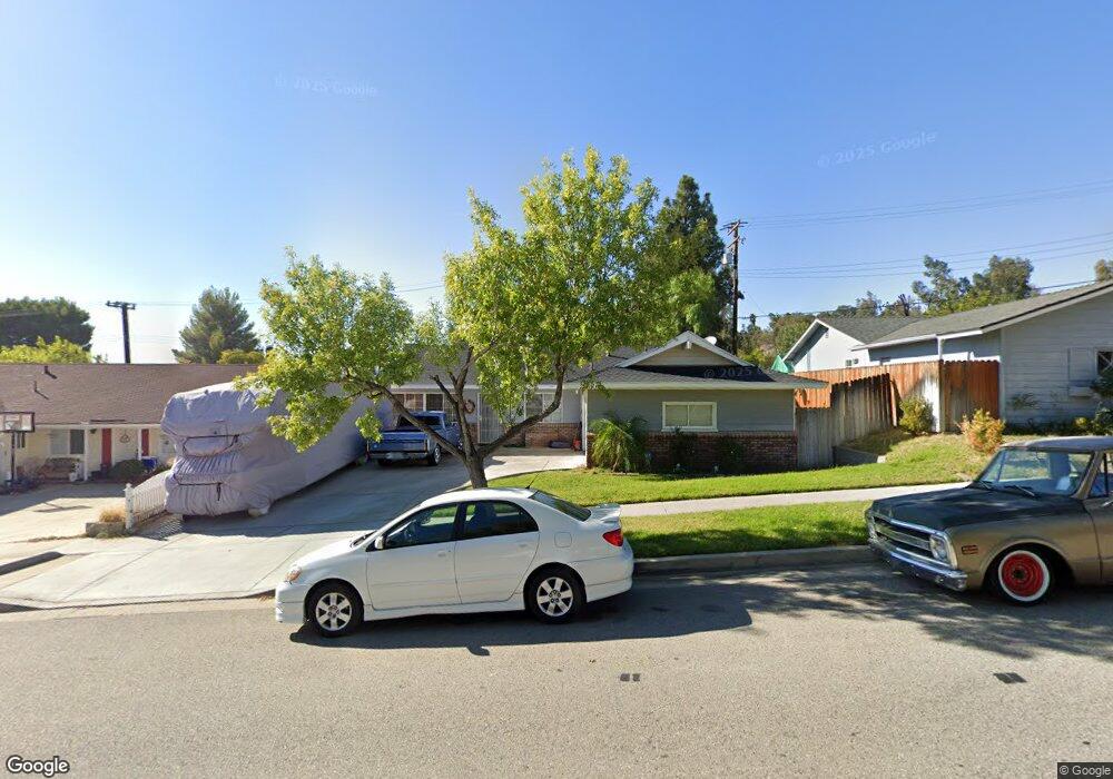
28071 Langside Ave Canyon Country, CA 91351
Estimated Value: $731,420 - $800,000
4
Beds
2
Baths
1,374
Sq Ft
$549/Sq Ft
Est. Value
About This Home
This home is located at 28071 Langside Ave, Canyon Country, CA 91351 and is currently estimated at $753,855, approximately $548 per square foot. 28071 Langside Ave is a home located in Los Angeles County with nearby schools including Skyblue Mesa Elementary School, Sierra Vista Junior High School, and Canyon High School.
Ownership History
Date
Name
Owned For
Owner Type
Purchase Details
Closed on
Jul 24, 1995
Sold by
Sasgen Joseph C and Sasgen Allyson 7
Bought by
Diaz Jimmie and Diaz Sandra Y
Current Estimated Value
Home Financials for this Owner
Home Financials are based on the most recent Mortgage that was taken out on this home.
Original Mortgage
$145,399
Interest Rate
7.5%
Mortgage Type
FHA
Create a Home Valuation Report for This Property
The Home Valuation Report is an in-depth analysis detailing your home's value as well as a comparison with similar homes in the area
Home Values in the Area
Average Home Value in this Area
Purchase History
| Date | Buyer | Sale Price | Title Company |
|---|---|---|---|
| Diaz Jimmie | $147,727 | Commonwealth Land Title Co |
Source: Public Records
Mortgage History
| Date | Status | Borrower | Loan Amount |
|---|---|---|---|
| Closed | Diaz Jimmie | $145,399 |
Source: Public Records
Tax History Compared to Growth
Tax History
| Year | Tax Paid | Tax Assessment Tax Assessment Total Assessment is a certain percentage of the fair market value that is determined by local assessors to be the total taxable value of land and additions on the property. | Land | Improvement |
|---|---|---|---|---|
| 2025 | $3,791 | $245,841 | $107,138 | $138,703 |
| 2024 | $3,791 | $241,022 | $105,038 | $135,984 |
| 2023 | $3,567 | $236,297 | $102,979 | $133,318 |
| 2022 | $3,577 | $231,664 | $100,960 | $130,704 |
| 2021 | $3,518 | $227,123 | $98,981 | $128,142 |
| 2019 | $3,400 | $220,390 | $96,047 | $124,343 |
| 2018 | $3,241 | $216,069 | $94,164 | $121,905 |
| 2016 | $3,042 | $207,680 | $90,508 | $117,172 |
| 2015 | $2,927 | $204,561 | $89,149 | $115,412 |
| 2014 | $2,879 | $200,555 | $87,403 | $113,152 |
Source: Public Records
Map
Nearby Homes
- 19845 Steinway St
- 27806 Meadowcreek Rd
- 28155 Ashboro Dr
- 28234 Enderly St
- 20256 Dorothy St
- 28002 Kenny Ln
- 19802 Holly Dr
- 20264 Dorothy St
- 20312 Dorothy St
- 20161 Canyon View Dr
- 0 Vac Vic Oracle Hills Dusty Unit SR24027628
- 0 Vac Diamond View Ln Vic Summit Unit BB23229948
- 0 Vac Godde Hill Rd Wic Vic Ave Unit SR25026848
- 20053 Northcliff Dr
- 19819 Melissa Ln
- 19659 Lanview Ln
- 19920 Holly Dr
- 20361 Julia Ln
- 28229 Shirley Ln
- 28225 Clementine Dr
- 28077 Langside Ave
- 28065 Langside Ave
- 28036 Meadowcreek Rd
- 28044 Meadowcreek Rd
- 28059 Langside Ave
- 28032 Meadowcreek Rd
- 28050 Meadowcreek Rd
- 19863 Steinway St
- 19856 Merryhill St
- 28053 Langside Ave
- 28101 Langside Ave
- 28024 Meadowcreek Rd
- 19850 Merryhill St
- 28062 Meadowcreek Rd
- 19857 Steinway St
- 28047 Langside Ave
- 28016 Meadowcreek Rd
- 28048 Langside Ave
- 19855 Merryhill St
- 19844 Merryhill St