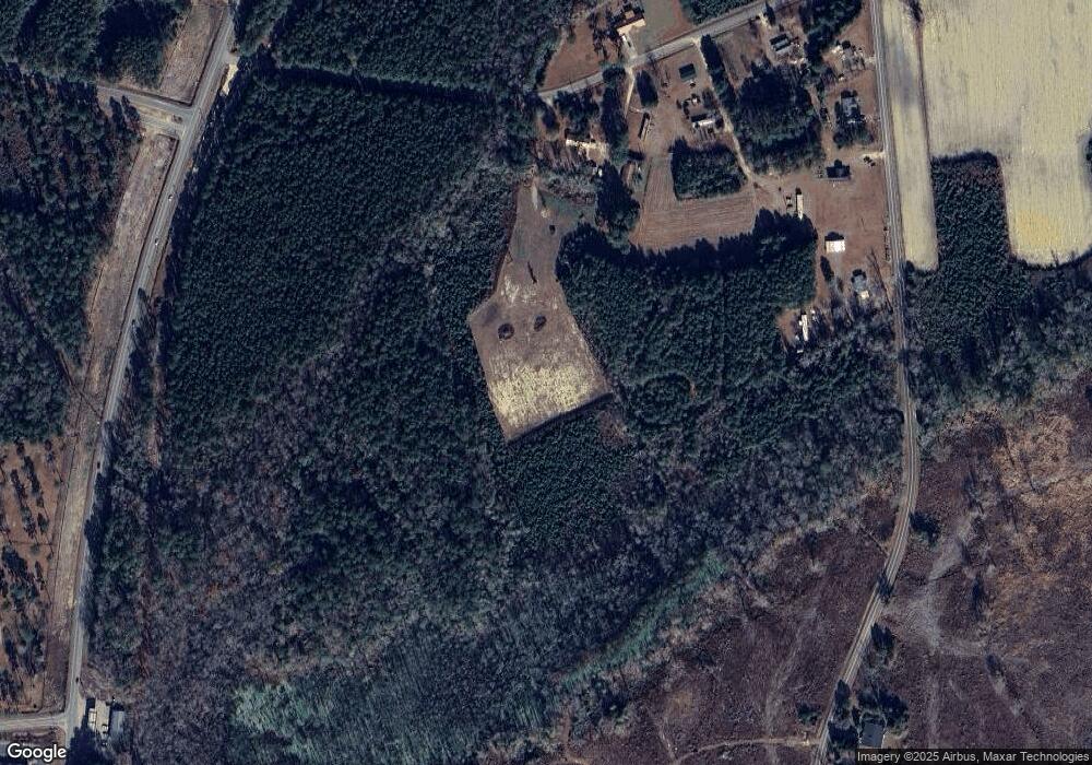
2808 Hall Rd Conway, SC 29526
Estimated Value: $70,697
2
Beds
1
Bath
1,594
Sq Ft
$44/Sq Ft
Est. Value
About This Home
This home is located at 2808 Hall Rd, Conway, SC 29526 and is currently priced at $70,697, approximately $44 per square foot. 2808 Hall Rd is a home located in Horry County with nearby schools including Homewood Elementary School, Whittemore Park Middle School, and Conway High School.
Ownership History
Date
Name
Owned For
Owner Type
Purchase Details
Closed on
Mar 12, 2020
Sold by
Anderson June
Bought by
Lee Jack Louis and Squires Sharon
Current Estimated Value
Purchase Details
Closed on
Feb 6, 2014
Sold by
Estate Of Juanita D Moore
Bought by
Anderson June
Purchase Details
Closed on
Feb 25, 2000
Sold by
Lane Weader Lucille
Bought by
Moore Juanita D and Moore Jack D
Home Financials for this Owner
Home Financials are based on the most recent Mortgage that was taken out on this home.
Original Mortgage
$118,400
Interest Rate
8.3%
Mortgage Type
Unknown
Create a Home Valuation Report for This Property
The Home Valuation Report is an in-depth analysis detailing your home's value as well as a comparison with similar homes in the area
Home Values in the Area
Average Home Value in this Area
Purchase History
| Date | Buyer | Sale Price | Title Company |
|---|---|---|---|
| Lee Jack Louis | $48,000 | -- | |
| Anderson June | -- | -- | |
| Moore Juanita D | $148,000 | -- |
Source: Public Records
Mortgage History
| Date | Status | Borrower | Loan Amount |
|---|---|---|---|
| Previous Owner | Moore Juanita D | $118,400 |
Source: Public Records
Tax History Compared to Growth
Tax History
| Year | Tax Paid | Tax Assessment Tax Assessment Total Assessment is a certain percentage of the fair market value that is determined by local assessors to be the total taxable value of land and additions on the property. | Land | Improvement |
|---|---|---|---|---|
| 2024 | $57 | $14,505 | $14,505 | $0 |
| 2023 | $57 | $9,416 | $9,416 | $0 |
| 2021 | $59 | $9,416 | $9,416 | $0 |
| 2020 | $2,189 | $20,132 | $11,532 | $8,600 |
| 2019 | $2,189 | $11,504 | $6,590 | $4,914 |
| 2018 | $1,978 | $9,308 | $5,360 | $3,948 |
| 2017 | $1,964 | $9,308 | $5,360 | $3,948 |
| 2016 | -- | $9,308 | $5,360 | $3,948 |
| 2015 | $1,964 | $9,308 | $5,360 | $3,948 |
| 2014 | $1,079 | $9,308 | $5,360 | $3,948 |
Source: Public Records
Map
Nearby Homes
- 2949 Dossies Rd
- 2701 Wise Rd
- 4106 Kim Cir
- TBD Tillmond Dr
- 2409 Satellite Cir
- 211 Pine Forest Dr
- 182 Pine Forest Dr
- 518 Sugar Pine Dr
- 170 Pine Forest Dr
- 375 Spruce Pine Way
- Lot 7 Allentown Dr
- Lot 8 Allentown Dr
- 3619 Allentown Dr
- Lot 2 Allentown Rd
- 1930 W Homewood Rd
- 3837 Mayfield Dr
- 609 Fieldwoods Dr
- 313 Basswood Ct
- 4337 Highway 65
- 3808 Mayfield Dr
- 2812 Hall Rd
- 2817 Belk Rd
- 2806 Belk Rd
- 2901 Hall Rd
- TBD U S 701 Hwy
- TBD U S 701 Hwy Unit TBD Industrial Park
- 2986 Hall Rd
- 3001 Hall Rd
- 4300 Brookdale Ln
- 2702 Belk Rd
- 4308 Brookdale Ln
- 3020 Hall Rd
- 120 Anjali Ct
- 4347 Brookdale Ln
- 4339 Brookdale Ln
- 3017 Hall Rd
- 2883 Dossies Rd
- 4325 Highway 701 N
- 4363 Brookdale Ln
- 3883 Highway 701 N
