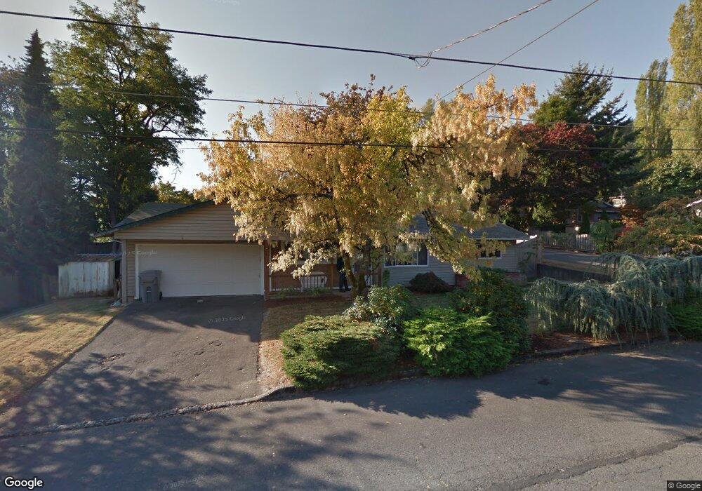
2808 Mark Ln West Linn, OR 97068
Bolton NeighborhoodEstimated Value: $483,000 - $632,000
3
Beds
2
Baths
1,320
Sq Ft
$404/Sq Ft
Est. Value
About This Home
This home is located at 2808 Mark Ln, West Linn, OR 97068 and is currently estimated at $533,077, approximately $403 per square foot. 2808 Mark Ln is a home located in Clackamas County with nearby schools including Cedaroak Park Primary School, West Linn High School, and Harmony Academy.
Ownership History
Date
Name
Owned For
Owner Type
Purchase Details
Closed on
May 9, 2002
Sold by
Kay Luke Antone Michael and Kay Luke Lana
Bought by
Walton Jennifer L
Current Estimated Value
Home Financials for this Owner
Home Financials are based on the most recent Mortgage that was taken out on this home.
Original Mortgage
$118,000
Outstanding Balance
$50,206
Interest Rate
7.18%
Estimated Equity
$482,871
Purchase Details
Closed on
Jan 31, 1996
Sold by
Blair Juanita M and Luke Juanita M
Bought by
Kay Luke Antone Michael and Kay Luke Lana
Create a Home Valuation Report for This Property
The Home Valuation Report is an in-depth analysis detailing your home's value as well as a comparison with similar homes in the area
Home Values in the Area
Average Home Value in this Area
Purchase History
| Date | Buyer | Sale Price | Title Company |
|---|---|---|---|
| Walton Jennifer L | $168,000 | Ticor Title | |
| Kay Luke Antone Michael | -- | Stewart Title |
Source: Public Records
Mortgage History
| Date | Status | Borrower | Loan Amount |
|---|---|---|---|
| Open | Walton Jennifer L | $118,000 |
Source: Public Records
Tax History
| Year | Tax Paid | Tax Assessment Tax Assessment Total Assessment is a certain percentage of the fair market value that is determined by local assessors to be the total taxable value of land and additions on the property. | Land | Improvement |
|---|---|---|---|---|
| 2025 | $4,196 | $217,750 | -- | -- |
| 2024 | $4,039 | $211,408 | -- | -- |
| 2023 | $4,039 | $205,251 | $0 | $0 |
| 2022 | $3,813 | $199,273 | $0 | $0 |
| 2021 | $3,619 | $193,469 | $0 | $0 |
| 2020 | $3,644 | $187,834 | $0 | $0 |
| 2019 | $3,475 | $182,364 | $0 | $0 |
| 2018 | $3,320 | $177,052 | $0 | $0 |
| 2017 | $3,191 | $171,895 | $0 | $0 |
| 2016 | $3,108 | $166,888 | $0 | $0 |
Source: Public Records
Map
Nearby Homes
- 2666 Mark Ln
- 20050 Snowdrop Ct Unit 1
- 2700 Underhill Ln Unit 1
- 2818 Treetop Ln
- 2550 Jolie Pointe Rd
- 2802 Tree Top Ln
- 2695 Dillow Dr
- 19790 White Cloud Cir
- 2583 Pimlico Dr
- 4510 Mapleton Dr
- 5555 Summit St
- 4040 Kenthorpe Way
- 4050 Serango Ct
- 3820 Kenthorpe Way
- 2010 Maple Terrace
- 19155 Nixon Ave
- 6564 Artemis Ln
- 2444 Randall St
- 19784 Wildwood Dr
- 2334 Randall St
Your Personal Tour Guide
Ask me questions while you tour the home.