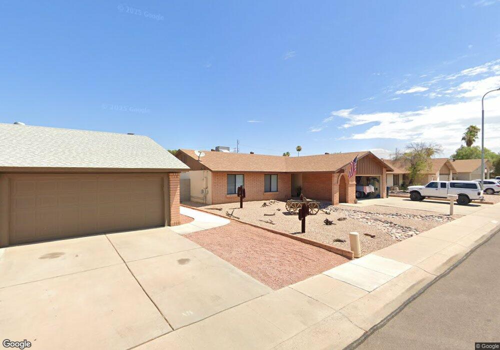
2808 W Newton Ct Chandler, AZ 85224
Central Ridge NeighborhoodEstimated Value: $391,616 - $497,000
--
Bed
2
Baths
1,556
Sq Ft
$298/Sq Ft
Est. Value
About This Home
This home is located at 2808 W Newton Ct, Chandler, AZ 85224 and is currently estimated at $464,404, approximately $298 per square foot. 2808 W Newton Ct is a home located in Maricopa County with nearby schools including Pomeroy Elementary School, Franklin at Brimhall Elementary School, and Franklin Accelerated Academy Jordan Campus.
Ownership History
Date
Name
Owned For
Owner Type
Purchase Details
Closed on
May 18, 2004
Sold by
Douglas Regina A
Bought by
Douglas Robert Michael
Current Estimated Value
Home Financials for this Owner
Home Financials are based on the most recent Mortgage that was taken out on this home.
Original Mortgage
$42,000
Interest Rate
5.77%
Mortgage Type
New Conventional
Create a Home Valuation Report for This Property
The Home Valuation Report is an in-depth analysis detailing your home's value as well as a comparison with similar homes in the area
Home Values in the Area
Average Home Value in this Area
Purchase History
| Date | Buyer | Sale Price | Title Company |
|---|---|---|---|
| Douglas Robert Michael | -- | Fidelity National Title |
Source: Public Records
Mortgage History
| Date | Status | Borrower | Loan Amount |
|---|---|---|---|
| Closed | Douglas Robert Michael | $42,000 |
Source: Public Records
Tax History Compared to Growth
Tax History
| Year | Tax Paid | Tax Assessment Tax Assessment Total Assessment is a certain percentage of the fair market value that is determined by local assessors to be the total taxable value of land and additions on the property. | Land | Improvement |
|---|---|---|---|---|
| 2025 | $1,520 | $17,817 | -- | -- |
| 2024 | $1,534 | $16,968 | -- | -- |
| 2023 | $1,534 | $35,750 | $7,150 | $28,600 |
| 2022 | $1,492 | $25,410 | $5,080 | $20,330 |
| 2021 | $1,500 | $23,470 | $4,690 | $18,780 |
| 2020 | $1,483 | $21,510 | $4,300 | $17,210 |
| 2019 | $1,366 | $19,780 | $3,950 | $15,830 |
| 2018 | $1,327 | $18,230 | $3,640 | $14,590 |
| 2017 | $1,276 | $16,920 | $3,380 | $13,540 |
| 2016 | $1,248 | $16,350 | $3,270 | $13,080 |
| 2015 | $1,174 | $14,670 | $2,930 | $11,740 |
Source: Public Records
Map
Nearby Homes
- 2811 W Rosewood Dr
- 2453 W Pecos Ave
- 2334 W Peralta Ave
- 2642 W Onza Ave
- 2727 N Price Rd Unit 50
- 2727 N Price Rd Unit 57
- 2727 N Price Rd Unit 28
- 2115 E Vaughn St
- 2559 W Olla Cir
- 1978 E Stephens Dr
- 6411 S River Dr Unit 6
- 6411 S River Dr Unit 38
- 2051 E Vaughn St
- 1943 E Diamond Dr
- 2031 E Vaughn St
- 2674 N El Dorado Dr
- 1975 E Sunburst Ln
- 2014 W Summit Place
- 2337 W Cheyenne Dr
- 6320 S Shannon Dr Unit 9
- 2806 W Newton Ct
- 2810 W Newton Ct
- 2809 W Curry St
- 2807 W Curry St
- 2804 W Newton Ct
- 2809 W Newton Ct
- 2805 W Curry St
- 2811 W Newton Ct
- 2805 W Newton Ct
- 2901 W Curry St
- 3329 N Desoto St
- 2802 W Newton Ct
- 2803 W Curry St
- 3327 N Desoto St
- 3306 N Woodside Ct
- 2808 W Curry St
- 3310 N Desoto St Unit 7
- 2810 W Curry St
- 3304 N Woodside Ct
- 2903 W Curry St