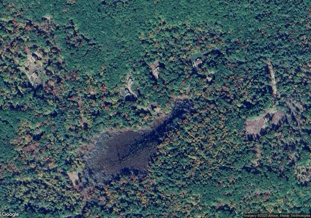
281 Lang Rd Richmond, NH 03470
Estimated Value: $408,050 - $441,000
3
Beds
2
Baths
1,903
Sq Ft
$226/Sq Ft
Est. Value
About This Home
This home is located at 281 Lang Rd, Richmond, NH 03470 and is currently estimated at $429,683, approximately $225 per square foot. 281 Lang Rd is a home with nearby schools including Mt. Caesar Elementary School, Cutler School, and Monadnock Regional High School.
Ownership History
Date
Name
Owned For
Owner Type
Purchase Details
Closed on
Dec 19, 2016
Sold by
Goulston Eileen
Bought by
Goulston Jarad
Current Estimated Value
Purchase Details
Closed on
Sep 20, 2005
Sold by
Holombo Jared
Bought by
Goulston Eileen
Home Financials for this Owner
Home Financials are based on the most recent Mortgage that was taken out on this home.
Original Mortgage
$211,000
Interest Rate
5.84%
Create a Home Valuation Report for This Property
The Home Valuation Report is an in-depth analysis detailing your home's value as well as a comparison with similar homes in the area
Home Values in the Area
Average Home Value in this Area
Purchase History
| Date | Buyer | Sale Price | Title Company |
|---|---|---|---|
| Goulston Jarad | -- | -- | |
| Goulston Eileen | $235,000 | -- | |
| Goulston Eileen | $235,000 | -- |
Source: Public Records
Mortgage History
| Date | Status | Borrower | Loan Amount |
|---|---|---|---|
| Previous Owner | Goulston Eileen | $211,000 |
Source: Public Records
Tax History Compared to Growth
Tax History
| Year | Tax Paid | Tax Assessment Tax Assessment Total Assessment is a certain percentage of the fair market value that is determined by local assessors to be the total taxable value of land and additions on the property. | Land | Improvement |
|---|---|---|---|---|
| 2024 | $5,465 | $306,000 | $62,700 | $243,300 |
| 2023 | $4,495 | $306,000 | $62,700 | $243,300 |
| 2021 | $4,371 | $186,400 | $41,800 | $144,600 |
| 2020 | $4,420 | $186,400 | $41,800 | $144,600 |
| 2019 | $4,509 | $186,400 | $41,800 | $144,600 |
| 2018 | $5,176 | $186,400 | $41,800 | $144,600 |
| 2017 | $5,035 | $186,400 | $41,800 | $144,600 |
| 2016 | $4,663 | $165,400 | $42,000 | $123,400 |
| 2015 | $4,689 | $165,400 | $42,000 | $123,400 |
| 2014 | $4,292 | $165,400 | $42,000 | $123,400 |
| 2013 | $4,327 | $165,400 | $42,000 | $123,400 |
Source: Public Records
Map
Nearby Homes
- 0 Attleboro Mountain Rd Unit 5040264
- 39 Bullock Rd
- 550 Winchester Rd
- 0 Old Hinsdale Rd Unit 1 5052965
- 4 Winch Hill Rd
- 415 Richmond Rd
- 49 Scotland Rd
- 27 Headlands Rd
- 103 Monument Rd
- 0 Monument Rd Unit 5055384
- 63 Headlands Rd
- 49 Forest Lake Cir
- 45 Forest Lake Cir
- 63 Prospect Hill Rd
- 7 Lake Shore Dr
- 143 Richmond Rd
- Map 6 Lot 15-5 Off Opportunity Dr
- Map 6 Lot 15-1 Off Opportunity Dr Unit 15-1
- 143 Warmac Rd
- 50 Parker St
- 290 Lang Rd
- 300 Lang Rd
- 315 Lang Rd
- 0 Off Lang Rd Unit 1 4654460
- 0 Off Lang Rd Unit 4887689
- 0 Off Lang Rd Unit 4405693
- 278 Lang Rd
- 264 Lang Rd
- 260 Lang Rd
- 274 Lang Rd
- 229 Lang Rd
- 320 Bullock Rd
- 379 Lang Rd
- 35 Taylor Hill Rd
- 260 Bullock Rd
- 230 Bullock Rd
- 240 Bullock Rd
- 119 Lang Rd
- 204 Bullock Rd
- 160 Sandy Pond Rd
