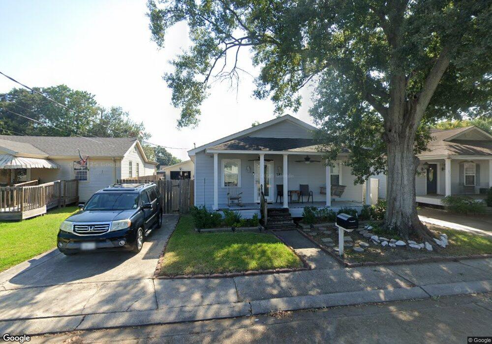
281 Mayo Ave New Orleans, LA 70123
Estimated Value: $192,000 - $332,000
--
Bed
--
Bath
--
Sq Ft
5,097
Sq Ft Lot
About This Home
This home is located at 281 Mayo Ave, New Orleans, LA 70123 and is currently estimated at $243,100. 281 Mayo Ave is a home located in Jefferson Parish with nearby schools including Harahan Elementary School, Airline Park Academy For Advanced Studies, and Greenfield Middle School.
Ownership History
Date
Name
Owned For
Owner Type
Purchase Details
Closed on
Jun 13, 2019
Sold by
Pusch Melissa Stretzinger and Stretzinger Kevin M
Bought by
Stretzinger George James
Current Estimated Value
Home Financials for this Owner
Home Financials are based on the most recent Mortgage that was taken out on this home.
Original Mortgage
$173,000
Interest Rate
4.1%
Mortgage Type
VA
Create a Home Valuation Report for This Property
The Home Valuation Report is an in-depth analysis detailing your home's value as well as a comparison with similar homes in the area
Home Values in the Area
Average Home Value in this Area
Purchase History
| Date | Buyer | Sale Price | Title Company |
|---|---|---|---|
| Stretzinger George James | -- | None Available |
Source: Public Records
Mortgage History
| Date | Status | Borrower | Loan Amount |
|---|---|---|---|
| Closed | Stretzinger George James | $173,000 |
Source: Public Records
Tax History Compared to Growth
Tax History
| Year | Tax Paid | Tax Assessment Tax Assessment Total Assessment is a certain percentage of the fair market value that is determined by local assessors to be the total taxable value of land and additions on the property. | Land | Improvement |
|---|---|---|---|---|
| 2024 | $55 | $12,500 | $3,780 | $8,720 |
| 2023 | $763 | $12,500 | $3,780 | $8,720 |
| 2022 | $1,357 | $12,500 | $3,780 | $8,720 |
| 2021 | $1,269 | $12,500 | $3,780 | $8,720 |
| 2020 | $1,258 | $12,500 | $3,780 | $8,720 |
| 2019 | $1,281 | $12,500 | $3,780 | $8,720 |
| 2018 | $331 | $12,500 | $3,780 | $8,720 |
| 2017 | $1,081 | $12,500 | $3,780 | $8,720 |
| 2016 | $1,076 | $12,500 | $3,780 | $8,720 |
| 2015 | $335 | $12,500 | $3,780 | $8,720 |
| 2014 | $335 | $12,500 | $3,780 | $8,720 |
Source: Public Records
Map
Nearby Homes
- 333 Roseland Pkwy
- 233 Penfold Place
- 212 Mayo Ave
- 420 Roseland Pkwy
- 240 Penfold Place
- 7501 Wilson St
- 194 Sedgefield Dr
- 509 Kenmore Dr
- 447 Roseland Pkwy
- 201 Colonial Club Dr
- 503 Soniat Ave
- 200 MacQue Dr
- 0 Colonial Club Dr
- 98 Colonial Club Dr
- 350 Carolyn Dr
- 471 Roseland Pkwy
- 412 Stratford Dr
- 367 Carolyn Dr
- 362 West Ave
- 258 East Ave