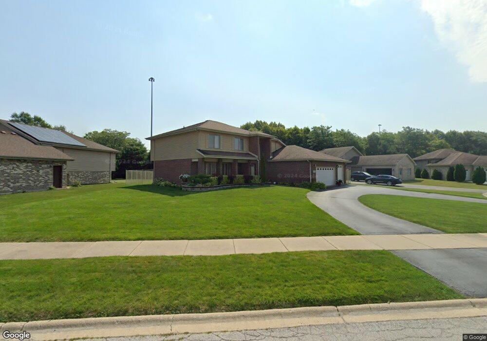
281 Providence Dr Matteson, IL 60443
West Matteson NeighborhoodEstimated Value: $409,609 - $466,000
4
Beds
3
Baths
2,992
Sq Ft
$149/Sq Ft
Est. Value
About This Home
This home is located at 281 Providence Dr, Matteson, IL 60443 and is currently estimated at $446,652, approximately $149 per square foot. 281 Providence Dr is a home located in Cook County with nearby schools including Colin Powell Middle School.
Ownership History
Date
Name
Owned For
Owner Type
Purchase Details
Closed on
Feb 9, 2004
Sold by
First Midwest Bank
Bought by
Gordon Bernard and Gordon Victoria C
Current Estimated Value
Home Financials for this Owner
Home Financials are based on the most recent Mortgage that was taken out on this home.
Original Mortgage
$283,995
Outstanding Balance
$129,002
Interest Rate
5.71%
Mortgage Type
Unknown
Estimated Equity
$317,650
Create a Home Valuation Report for This Property
The Home Valuation Report is an in-depth analysis detailing your home's value as well as a comparison with similar homes in the area
Home Values in the Area
Average Home Value in this Area
Purchase History
| Date | Buyer | Sale Price | Title Company |
|---|---|---|---|
| Gordon Bernard | $316,000 | -- |
Source: Public Records
Mortgage History
| Date | Status | Borrower | Loan Amount |
|---|---|---|---|
| Open | Gordon Bernard | $283,995 |
Source: Public Records
Tax History
| Year | Tax Paid | Tax Assessment Tax Assessment Total Assessment is a certain percentage of the fair market value that is determined by local assessors to be the total taxable value of land and additions on the property. | Land | Improvement |
|---|---|---|---|---|
| 2025 | $12,490 | $36,100 | $7,855 | $28,245 |
| 2024 | $12,490 | $36,100 | $7,855 | $28,245 |
| 2023 | $8,822 | $36,100 | $7,855 | $28,245 |
| 2022 | $8,822 | $22,636 | $6,784 | $15,852 |
| 2021 | $8,992 | $22,634 | $6,783 | $15,851 |
| 2020 | $8,904 | $22,634 | $6,783 | $15,851 |
| 2019 | $8,697 | $22,090 | $6,069 | $16,021 |
| 2018 | $8,564 | $22,090 | $6,069 | $16,021 |
| 2017 | $8,384 | $22,090 | $6,069 | $16,021 |
| 2016 | $10,879 | $23,519 | $5,355 | $18,164 |
| 2015 | $10,618 | $23,519 | $5,355 | $18,164 |
| 2014 | $10,357 | $23,519 | $5,355 | $18,164 |
| 2013 | $11,035 | $26,616 | $5,355 | $21,261 |
Source: Public Records
Map
Nearby Homes
- 340 Maryview Ct
- 255 Central Ave
- 175 Owen St
- 322 Central Ave
- 51 Manor Dr
- 78 Kenneth St
- 5628 Crestwood Rd
- 98 Lawrence Ln
- 116 Cloverleaf Rd
- 5804 Kathryn Ln
- 763 Cambridge Ave
- 5808 Allemong Dr
- 156 Cloverleaf Rd
- 111 Deerpath Rd
- 5742 Woodgate Dr
- 5631 Colgate Ln
- 856 Notre Dame Dr
- 152 Oakhurst Rd
- 829 Princeton Ave
- 5838 Woodgate Dr
- 271 Providence Dr
- 291 Providence Dr
- 261 Providence Dr
- 301 Providence Dr
- 280 Providence Dr
- 270 Providence Dr
- 290 Providence Dr
- 260 Providence Dr
- 311 Providence Dr
- 300 Providence Dr
- 251 Providence Dr
- 310 Providence Dr
- 281 Maryview Pkwy
- 241 Providence Dr
- 271 Maryview Pkwy
- 321 Providence Dr
- 291 Maryview Pkwy
- 5280 Hope Place
- 261 Maryview Pkwy
- 301 Maryview Pkwy
Your Personal Tour Guide
Ask me questions while you tour the home.