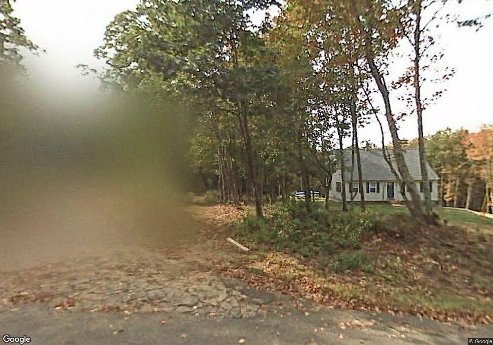
281 Sarty Rd West Brookfield, MA 01585
Estimated Value: $360,000 - $417,289
4
Beds
2
Baths
1,596
Sq Ft
$248/Sq Ft
Est. Value
About This Home
This home is located at 281 Sarty Rd, West Brookfield, MA 01585 and is currently estimated at $396,072, approximately $248 per square foot. 281 Sarty Rd is a home with nearby schools including Quaboag Regional High School.
Ownership History
Date
Name
Owned For
Owner Type
Purchase Details
Closed on
Jul 7, 2004
Sold by
Quaboag Constr Corp
Bought by
Chaffee Todd
Current Estimated Value
Home Financials for this Owner
Home Financials are based on the most recent Mortgage that was taken out on this home.
Original Mortgage
$144,000
Outstanding Balance
$72,410
Interest Rate
6.32%
Mortgage Type
Purchase Money Mortgage
Estimated Equity
$323,662
Create a Home Valuation Report for This Property
The Home Valuation Report is an in-depth analysis detailing your home's value as well as a comparison with similar homes in the area
Home Values in the Area
Average Home Value in this Area
Purchase History
| Date | Buyer | Sale Price | Title Company |
|---|---|---|---|
| Chaffee Todd | $194,000 | -- |
Source: Public Records
Mortgage History
| Date | Status | Borrower | Loan Amount |
|---|---|---|---|
| Open | Chaffee Todd | $144,000 |
Source: Public Records
Tax History
| Year | Tax Paid | Tax Assessment Tax Assessment Total Assessment is a certain percentage of the fair market value that is determined by local assessors to be the total taxable value of land and additions on the property. | Land | Improvement |
|---|---|---|---|---|
| 2025 | $4,625 | $312,300 | $66,500 | $245,800 |
| 2024 | $4,706 | $312,300 | $66,500 | $245,800 |
| 2023 | $4,620 | $292,400 | $66,500 | $225,900 |
| 2022 | $3,909 | $251,200 | $51,000 | $200,200 |
| 2021 | $3,840 | $240,600 | $48,300 | $192,300 |
| 2020 | $3,906 | $227,600 | $48,300 | $179,300 |
| 2019 | $3,935 | $216,800 | $48,200 | $168,600 |
| 2018 | $3,755 | $216,800 | $48,200 | $168,600 |
| 2017 | $3,745 | $201,800 | $50,100 | $151,700 |
| 2016 | $3,845 | $193,800 | $47,700 | $146,100 |
| 2015 | $3,488 | $186,000 | $47,700 | $138,300 |
| 2014 | $3,562 | $186,500 | $47,700 | $138,800 |
Source: Public Records
Map
Nearby Homes
- 3 Foster Rd
- 366 Southbridge Rd
- Lot 8 Southbridge Rd
- LOT 7 Southbridge Rd
- 21 Fox Run
- 36 Nelson St
- 18 Fox Run
- 83 Comins Pond Rd
- Lot 4 Brimfield Rd
- 91 W Main St
- 940 Old West Brookfield Rd
- 37 Central St
- 111 Quaboag St
- 8 Otis St
- 17 Otis St
- 59 High St
- 368 Keys Rd
- 3 Heritage Dr
- 12 Presidential Cir
- Lot 5 Brimfield Rd
Your Personal Tour Guide
Ask me questions while you tour the home.