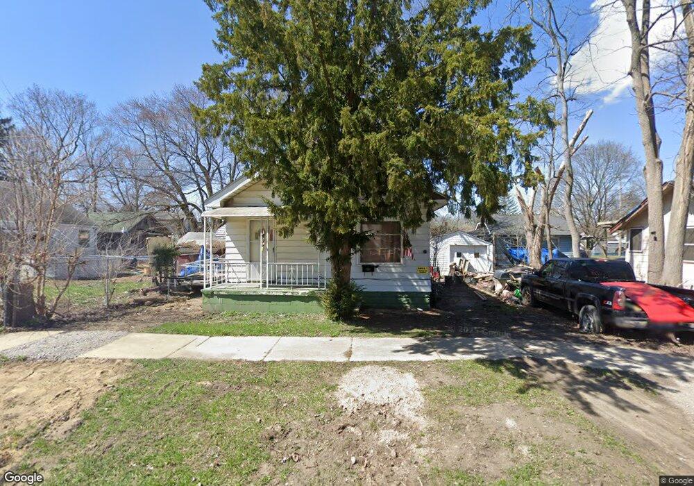
2811 N Vernon Ave Flint, MI 48506
Eastside NeighborhoodEstimated Value: $22,000 - $51,000
1
Bed
1
Bath
500
Sq Ft
$77/Sq Ft
Est. Value
About This Home
This home is located at 2811 N Vernon Ave, Flint, MI 48506 and is currently estimated at $38,664, approximately $77 per square foot. 2811 N Vernon Ave is a home located in Genesee County with nearby schools including Potter School, Richfield Public School Academy, and Flint Cultural Center Academy.
Ownership History
Date
Name
Owned For
Owner Type
Purchase Details
Closed on
Sep 7, 2018
Sold by
Genessee County Land Bank
Bought by
Collyer Kart F
Current Estimated Value
Purchase Details
Closed on
Feb 24, 2017
Sold by
The Genesee County Land Bank Authority
Bought by
Collyer Karl F
Purchase Details
Closed on
Dec 17, 2015
Sold by
Genesee County
Bought by
Genesee County Land Bank
Purchase Details
Closed on
Mar 16, 2015
Sold by
Schintgen John
Bought by
Hall Michael and Hall Virginia T
Purchase Details
Closed on
Aug 26, 2014
Sold by
Kelly John T
Bought by
Schintgen John
Purchase Details
Closed on
Feb 2, 2009
Sold by
Yonan Henry
Bought by
Kelly John T
Create a Home Valuation Report for This Property
The Home Valuation Report is an in-depth analysis detailing your home's value as well as a comparison with similar homes in the area
Home Values in the Area
Average Home Value in this Area
Purchase History
| Date | Buyer | Sale Price | Title Company |
|---|---|---|---|
| Collyer Kart F | $2,500 | None Available | |
| Collyer Karl F | $2,500 | The Genesee County Land Bank | |
| Genesee County Land Bank | -- | None Available | |
| Hall Michael | $405 | None Available | |
| Schintgen John | $200 | None Available | |
| Kelly John T | $7,500 | None Available |
Source: Public Records
Mortgage History
| Date | Status | Borrower | Loan Amount |
|---|---|---|---|
| Closed | Collyer Karl F | $0 |
Source: Public Records
Tax History Compared to Growth
Tax History
| Year | Tax Paid | Tax Assessment Tax Assessment Total Assessment is a certain percentage of the fair market value that is determined by local assessors to be the total taxable value of land and additions on the property. | Land | Improvement |
|---|---|---|---|---|
| 2025 | $461 | $4,200 | $0 | $0 |
| 2024 | $442 | $3,700 | $0 | $0 |
| 2023 | $445 | $3,500 | $0 | $0 |
| 2022 | $0 | $4,300 | $0 | $0 |
| 2021 | $532 | $4,100 | $0 | $0 |
| 2020 | $504 | $3,600 | $0 | $0 |
| 2019 | $506 | $3,600 | $0 | $0 |
| 2018 | $466 | $3,500 | $0 | $0 |
| 2017 | $221 | $0 | $0 | $0 |
| 2016 | $0 | $0 | $0 | $0 |
| 2015 | -- | $0 | $0 | $0 |
| 2014 | -- | $0 | $0 | $0 |
| 2012 | -- | $3,900 | $0 | $0 |
Source: Public Records
Map
Nearby Homes
- 2506 Arlington Ave
- 1733 Oklahoma Ave
- 1721 New York Ave
- 1805 Montana Ave
- 2225 Arlington Ave
- 1629 New York Ave
- 1814 Mabel Ave
- 2426 Hoff St
- 1622 New York Ave
- 1805 Bennett Ave
- 1623 Montana Ave
- 2211 Torrance St
- 1518 Leith St
- 1526 Montana Ave
- 1454 Delaware Ave
- 1445 Maryland Ave
- 1513 Jane Ave
- 1449 New York Ave
- 2719 Branch Rd
- 1529 Broadway Blvd
- 2118 Dakota Ave
- 2110 Dakota Ave
- 2109 Maryland Ave
- 2106 Dakota Ave
- 2105 Maryland Ave
- 2812 N Vernon Ave
- 2802 N Vernon Ave
- 2102 Dakota Ave
- 2210 Dakota Ave
- 2202 Dakota Ave
- 2101 Maryland Ave
- 2022 Dakota Ave
- 2021 Maryland Ave
- 2117 Dakota Ave
- 2113 Dakota Ave
- 2109 Dakota Ave
- 2018 Dakota Ave
- 2105 Dakota Ave
- 2017 Maryland Ave
- 2205 Dakota Ave