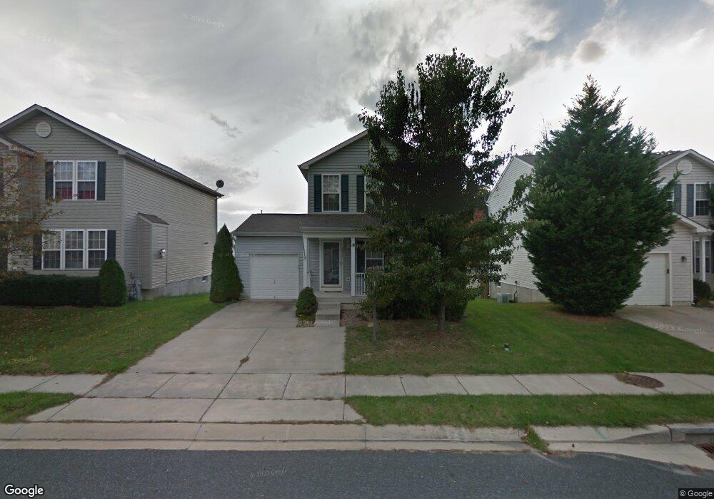
2811 Profitt Path Edgewood, MD 21040
Estimated Value: $324,000 - $350,000
3
Beds
3
Baths
1,280
Sq Ft
$263/Sq Ft
Est. Value
About This Home
This home is located at 2811 Profitt Path, Edgewood, MD 21040 and is currently estimated at $336,172, approximately $262 per square foot. 2811 Profitt Path is a home located in Harford County with nearby schools including Deerfield Elementary School, Edgewood Middle School, and Edgewood High School.
Ownership History
Date
Name
Owned For
Owner Type
Purchase Details
Closed on
Jan 12, 2010
Sold by
Springfield Michael Anthony
Bought by
Williams Dametrika
Current Estimated Value
Purchase Details
Closed on
Feb 6, 2002
Sold by
Ryland Group Inc The
Bought by
Springfield Michael Anthony
Purchase Details
Closed on
Nov 7, 2001
Sold by
Lwr Llc
Bought by
Ryland Gfroup Inc The
Create a Home Valuation Report for This Property
The Home Valuation Report is an in-depth analysis detailing your home's value as well as a comparison with similar homes in the area
Home Values in the Area
Average Home Value in this Area
Purchase History
| Date | Buyer | Sale Price | Title Company |
|---|---|---|---|
| Williams Dametrika | $200,000 | -- | |
| Springfield Michael Anthony | $164,085 | -- | |
| Ryland Gfroup Inc The | $38,400 | -- |
Source: Public Records
Mortgage History
| Date | Status | Borrower | Loan Amount |
|---|---|---|---|
| Closed | Williams Dametrika | -- |
Source: Public Records
Tax History
| Year | Tax Paid | Tax Assessment Tax Assessment Total Assessment is a certain percentage of the fair market value that is determined by local assessors to be the total taxable value of land and additions on the property. | Land | Improvement |
|---|---|---|---|---|
| 2025 | $2,443 | $243,267 | $0 | $0 |
| 2024 | $2,443 | $228,133 | $0 | $0 |
| 2023 | $2,321 | $213,000 | $75,000 | $138,000 |
| 2022 | $2,261 | $207,467 | $0 | $0 |
| 2021 | $2,266 | $201,933 | $0 | $0 |
| 2020 | $2,266 | $196,400 | $75,000 | $121,400 |
| 2019 | $2,256 | $195,467 | $0 | $0 |
| 2018 | $2,225 | $194,533 | $0 | $0 |
| 2017 | $2,214 | $193,600 | $0 | $0 |
| 2016 | $140 | $193,600 | $0 | $0 |
| 2015 | $2,810 | $193,600 | $0 | $0 |
| 2014 | $2,810 | $202,600 | $0 | $0 |
Source: Public Records
Map
Nearby Homes
- 303 Lord Willoughby Way
- 2935 Ancon Ct
- 408 Bauers Dr
- 2970 Siwanoy Dr
- 2961 Siwanoy Dr
- 606 Harbour Oak Dr
- 308 Laburnum Rd
- 501 Arbor Ct
- 503 Catalpa Ln
- 2314 Rosewood Dr
- 2203 Willoughby Beach Rd
- 62 Little Creek Ln
- 1071 Sand Pebble Dr
- 2707 Pulaski Hwy
- 2115 Nuttal Ave
- 2113 Nuttal Ave
- 2020 Hanson Rd
- 2000 Hanson Rd
- 3901 Walters Rd
- 3905 Love Ave
- 2809 Profitt Path
- 2813 Profitt Path
- 2815 Profitt Path
- 2807 Profitt Path
- 2806 Todkill Trace
- 2816 Profitt Path
- 2808 Todkill Trace
- 2814 Profitt Path
- 2818 Profitt Path
- 2817 Profitt Path
- 2805 Profitt Path
- 2804 Todkill Trace
- 2820 Profitt Path
- 2812 Profitt Path
- 2802 Todkill Trace
- 2803 Profitt Path
- 2819 Profitt Path
- 2822 Profitt Path
- 2810 Profitt Path
- 2801 Profitt Path
Your Personal Tour Guide
Ask me questions while you tour the home.