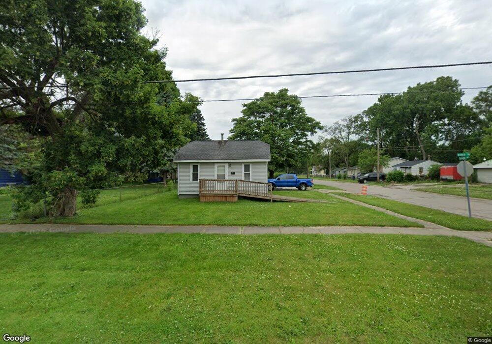
2813 Branch Rd Flint, MI 48506
Potter Longway NeighborhoodEstimated Value: $39,000 - $58,754
3
Beds
1
Bath
704
Sq Ft
$70/Sq Ft
Est. Value
About This Home
This home is located at 2813 Branch Rd, Flint, MI 48506 and is currently estimated at $49,189, approximately $69 per square foot. 2813 Branch Rd is a home located in Genesee County with nearby schools including Potter School, Richfield Public School Academy, and Richfield Early Learning Center.
Ownership History
Date
Name
Owned For
Owner Type
Purchase Details
Closed on
Apr 23, 2008
Sold by
Cox Ronald and Cox Marcella
Bought by
Hsbc Bank Usa Na and Deutsche Alt A Securities Mortgage Loan
Current Estimated Value
Purchase Details
Closed on
Aug 9, 2005
Sold by
Wenry Properties Llc
Bought by
Cox Ronald and Cox Marcella
Home Financials for this Owner
Home Financials are based on the most recent Mortgage that was taken out on this home.
Original Mortgage
$50,400
Interest Rate
6.5%
Mortgage Type
Fannie Mae Freddie Mac
Purchase Details
Closed on
Feb 3, 2003
Sold by
Cox Ronald and Cox Marcella
Bought by
Wenry Properties Llc
Purchase Details
Closed on
Jan 23, 2003
Sold by
Hall David
Bought by
Cox Ronald
Purchase Details
Closed on
Jun 12, 2001
Sold by
Swadling Carl and Swadling Sally
Bought by
Hall David
Purchase Details
Closed on
Feb 9, 1999
Sold by
Conti Mtg Corp
Bought by
Swadling Carl and Swadling Sally
Create a Home Valuation Report for This Property
The Home Valuation Report is an in-depth analysis detailing your home's value as well as a comparison with similar homes in the area
Home Values in the Area
Average Home Value in this Area
Purchase History
| Date | Buyer | Sale Price | Title Company |
|---|---|---|---|
| Hsbc Bank Usa Na | $8,550 | None Available | |
| Cox Ronald | -- | Title Source Inc | |
| Wenry Properties Llc | -- | -- | |
| Cox Ronald | $55,600 | Titleamerica | |
| Hall David | $26,500 | -- | |
| Swadling Carl | $16,900 | -- |
Source: Public Records
Mortgage History
| Date | Status | Borrower | Loan Amount |
|---|---|---|---|
| Previous Owner | Cox Ronald | $50,400 |
Source: Public Records
Tax History Compared to Growth
Tax History
| Year | Tax Paid | Tax Assessment Tax Assessment Total Assessment is a certain percentage of the fair market value that is determined by local assessors to be the total taxable value of land and additions on the property. | Land | Improvement |
|---|---|---|---|---|
| 2025 | $513 | $17,400 | $0 | $0 |
| 2024 | $490 | $15,400 | $0 | $0 |
| 2023 | $490 | $12,100 | $0 | $0 |
| 2022 | $0 | $9,600 | $0 | $0 |
| 2021 | $490 | $8,900 | $0 | $0 |
| 2020 | $465 | $7,600 | $0 | $0 |
| 2019 | $466 | $4,600 | $0 | $0 |
| 2018 | $423 | $4,600 | $0 | $0 |
| 2017 | $416 | $0 | $0 | $0 |
| 2016 | $415 | $0 | $0 | $0 |
| 2015 | -- | $0 | $0 | $0 |
| 2014 | -- | $0 | $0 | $0 |
| 2012 | -- | $3,900 | $0 | $0 |
Source: Public Records
Map
Nearby Homes
- 2719 Branch Rd
- 3116 Beechwood Ave
- 3214 Maryland Ave
- 3010 Wyoming Ave
- 3149 Whittier Ave
- 2426 Hoff St
- 3205 Holly Ave
- 3226 Mcclure Ave
- 2211 Torrance St
- 3602 Dakota Ave
- 3702 Branch Rd
- 3710 Branch Rd
- 3232 Dale Ave
- 3514 Whittier Ave
- 3713 Risedorph Ave
- 2506 Arlington Ave
- 3401 Davison Rd
- 3729 Craig Dr
- 3809 Delaware Ave
- 2935 Richfield Rd
- 3030 Dakota Ave
- 2805 Branch Rd
- 2901 Branch Rd
- 3029 Maryland Ave
- 2801 Branch Rd
- 3027 Dakota Ave
- 2905 Branch Rd
- 3023 Maryland Ave
- 3025 Dakota Ave
- 3018 Dakota Ave
- 2820 Branch Rd
- 2808 Branch Rd
- 2909 Branch Rd
- 2902 Branch Rd
- 3017 Maryland Ave
- 3103 Maryland Ave
- 2814 Branch Rd
- 2906 Branch Rd
- 3015 Dakota Ave
- 3013 Maryland Ave