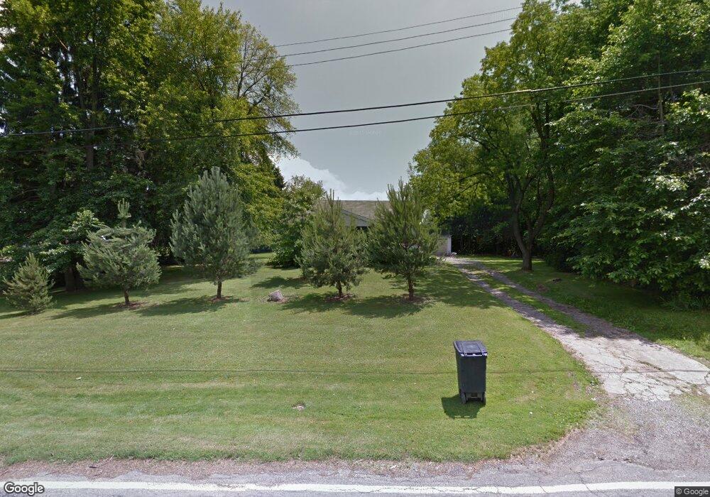
2814 Applegate Rd Youngstown, OH 44505
Estimated Value: $74,489 - $151,000
2
Beds
1
Bath
756
Sq Ft
$150/Sq Ft
Est. Value
About This Home
This home is located at 2814 Applegate Rd, Youngstown, OH 44505 and is currently estimated at $113,122, approximately $149 per square foot. 2814 Applegate Rd is a home located in Trumbull County with nearby schools including Hubbard Elementary School, Hubbard Middle School, and Hubbard High School.
Ownership History
Date
Name
Owned For
Owner Type
Purchase Details
Closed on
May 16, 2001
Sold by
Vacchiano Felix
Bought by
Deptula Matthew and Deptula Lisa
Current Estimated Value
Home Financials for this Owner
Home Financials are based on the most recent Mortgage that was taken out on this home.
Original Mortgage
$31,579
Outstanding Balance
$11,211
Interest Rate
7.02%
Mortgage Type
New Conventional
Estimated Equity
$101,911
Purchase Details
Closed on
Nov 21, 2000
Sold by
Dash David
Bought by
Vacchiano Felix
Purchase Details
Closed on
Jan 1, 1990
Bought by
State Of Ohio
Create a Home Valuation Report for This Property
The Home Valuation Report is an in-depth analysis detailing your home's value as well as a comparison with similar homes in the area
Home Values in the Area
Average Home Value in this Area
Purchase History
| Date | Buyer | Sale Price | Title Company |
|---|---|---|---|
| Deptula Matthew | $32,000 | Americas Choice Title Agency | |
| Vacchiano Felix | -- | -- | |
| State Of Ohio | -- | -- |
Source: Public Records
Mortgage History
| Date | Status | Borrower | Loan Amount |
|---|---|---|---|
| Open | Vacchiano Felix | $31,579 |
Source: Public Records
Tax History
| Year | Tax Paid | Tax Assessment Tax Assessment Total Assessment is a certain percentage of the fair market value that is determined by local assessors to be the total taxable value of land and additions on the property. | Land | Improvement |
|---|---|---|---|---|
| 2024 | $1,031 | $17,790 | $1,510 | $16,280 |
| 2023 | $1,032 | $17,790 | $1,510 | $16,280 |
| 2022 | $1,179 | $18,100 | $2,840 | $15,260 |
| 2021 | $1,184 | $18,100 | $2,840 | $15,260 |
| 2020 | $1,189 | $18,100 | $2,840 | $15,260 |
| 2019 | $1,103 | $15,900 | $2,630 | $13,270 |
| 2018 | $1,071 | $15,900 | $2,630 | $13,270 |
| 2017 | $1,068 | $15,900 | $2,630 | $13,270 |
| 2016 | $1,030 | $16,070 | $2,630 | $13,440 |
| 2015 | $1,034 | $16,070 | $2,630 | $13,440 |
| 2014 | $1,014 | $16,070 | $2,630 | $13,440 |
| 2013 | $1,013 | $16,070 | $2,630 | $13,440 |
Source: Public Records
Map
Nearby Homes
- 2508 Applegate Rd
- 0 Homestead Rd
- 3700 Liberty Ave
- 1538 Republic Ave
- 3502 Somerset Dr Unit B
- 100 Cottage Grove Dr
- 2010 Powder Mill Run
- 2407 Trussit Ave
- 0 Powder Mill Run Unit 5127327
- 0 Powder Mill Run Unit 5127333
- V/L Jacobs Rd
- 6095 Bell Ave
- 3516 Roseview Dr
- 127 Roslyn Dr
- 3712 Logan Way
- 2064 Burning Tree Ln
- 1125 N Garland Ave
- 1720 Jacobs Rd
- 156 Halleck St
- 2417-2419 Elm St
- 2815 Applegate Rd
- 2239 Liberty Rd
- 3301 Applegate Rd
- 2680 Homestead Rd
- 2904 Applegate Rd
- 2676 Homestead Rd
- 2215 Liberty Rd
- 0 Ravine Unit 1538735
- 0 Lucretia Unit 3064223
- 0 Underwood Unit 3436752
- 0 Glade Unit 3643328
- 1 W Liberty St
- x Motor Inn Dr
- 2731 Homestead Rd
- 2226 Liberty Rd
- 2220 Liberty Rd
- 2220 Liberty Rd
- 2668 Homestead Rd
- 2222 Liberty Rd
- 2151 Lansdowne Blvd
Your Personal Tour Guide
Ask me questions while you tour the home.