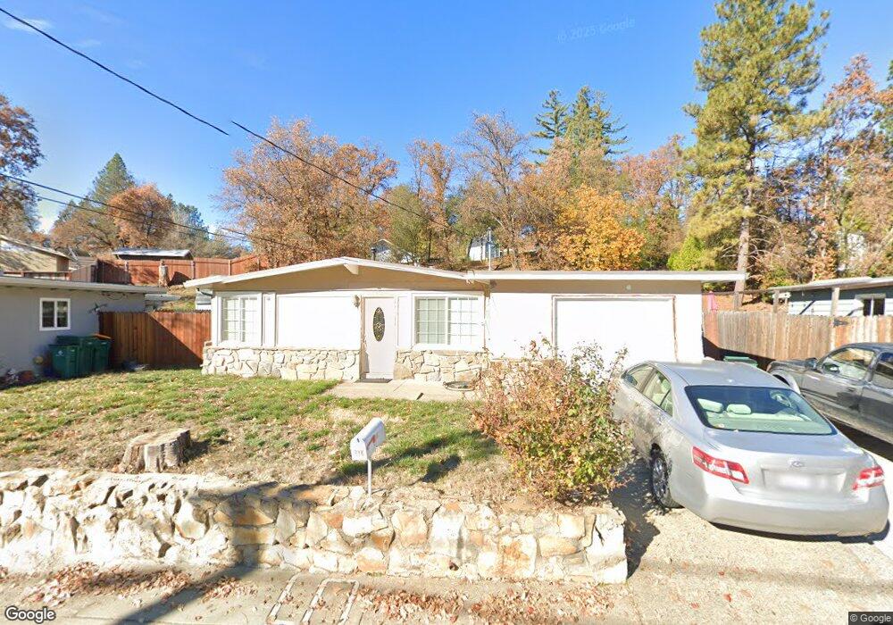
2814 Morrene Dr Placerville, CA 95667
Estimated Value: $253,000 - $358,000
3
Beds
1
Bath
925
Sq Ft
$336/Sq Ft
Est. Value
About This Home
This home is located at 2814 Morrene Dr, Placerville, CA 95667 and is currently estimated at $310,503, approximately $335 per square foot. 2814 Morrene Dr is a home located in El Dorado County with nearby schools including El Dorado High School, Country Day Montessori, and El Dorado Adventist School.
Ownership History
Date
Name
Owned For
Owner Type
Purchase Details
Closed on
Jul 20, 1998
Sold by
Wilson Ann Louise
Bought by
Wilson Ann L
Current Estimated Value
Home Financials for this Owner
Home Financials are based on the most recent Mortgage that was taken out on this home.
Original Mortgage
$92,000
Interest Rate
7.01%
Create a Home Valuation Report for This Property
The Home Valuation Report is an in-depth analysis detailing your home's value as well as a comparison with similar homes in the area
Home Values in the Area
Average Home Value in this Area
Purchase History
| Date | Buyer | Sale Price | Title Company |
|---|---|---|---|
| Wilson Ann L | -- | Placer Title Company |
Source: Public Records
Mortgage History
| Date | Status | Borrower | Loan Amount |
|---|---|---|---|
| Closed | Wilson Ann L | $92,000 |
Source: Public Records
Tax History
| Year | Tax Paid | Tax Assessment Tax Assessment Total Assessment is a certain percentage of the fair market value that is determined by local assessors to be the total taxable value of land and additions on the property. | Land | Improvement |
|---|---|---|---|---|
| 2025 | $1,320 | $131,509 | $70,706 | $60,803 |
| 2024 | $1,320 | $128,931 | $69,320 | $59,611 |
| 2023 | $1,304 | $126,404 | $67,961 | $58,443 |
| 2022 | $1,284 | $123,927 | $66,629 | $57,298 |
| 2021 | $1,268 | $121,498 | $65,323 | $56,175 |
| 2020 | $1,249 | $120,253 | $64,654 | $55,599 |
| 2019 | $1,233 | $117,896 | $63,387 | $54,509 |
| 2018 | $1,197 | $115,586 | $62,145 | $53,441 |
| 2017 | $1,178 | $113,321 | $60,927 | $52,394 |
| 2016 | $1,160 | $111,100 | $59,733 | $51,367 |
| 2015 | $1,107 | $109,434 | $58,837 | $50,597 |
| 2014 | $1,107 | $107,293 | $57,686 | $49,607 |
Source: Public Records
Map
Nearby Homes
- 2940 Anderson Way
- 2660 Clay St
- 2655 Mona Dr
- 2977 Mosquito Rd
- 1015 Utah Dr
- 2921 Miller Way
- 1000 Utah Dr
- 1016 Utah Dr
- 1012 Utah Dr
- 1002 Utah Dr
- 1131 Bush Ct
- 1004 Utah Dr
- 1006 Utah Dr
- 1008 Utah Dr
- 678 Main St
- 945 Crawford Drift Ct
- 944 Crawford Drift Ct
- 2532 Golden Eagle Dr
- 2350 Big Canyon Creek Rd
- 0 Trails End Dr Unit 225117516
- 2808 Morrene Dr
- 2818 Morrene Dr
- 2811 Hocking St
- 2804 Morrene Dr
- 2815 Hocking St
- 2815 Morrene Dr
- 2821 Hocking St
- 2811 Morrene Dr
- 2819 Morrene Dr
- 2807 Morrene Dr
- 2823 Morrene Dr
- 2827 Hocking St
- 2827 Morrene Dr
- 2791 Hawks Landing Ct
- 2831 Morrene Dr
- 2820 Hocking St
- 2790 Hawks Landing Ct
- 2837 Hocking St
- 2814 Hocking St
- 2826 Hocking St
Your Personal Tour Guide
Ask me questions while you tour the home.