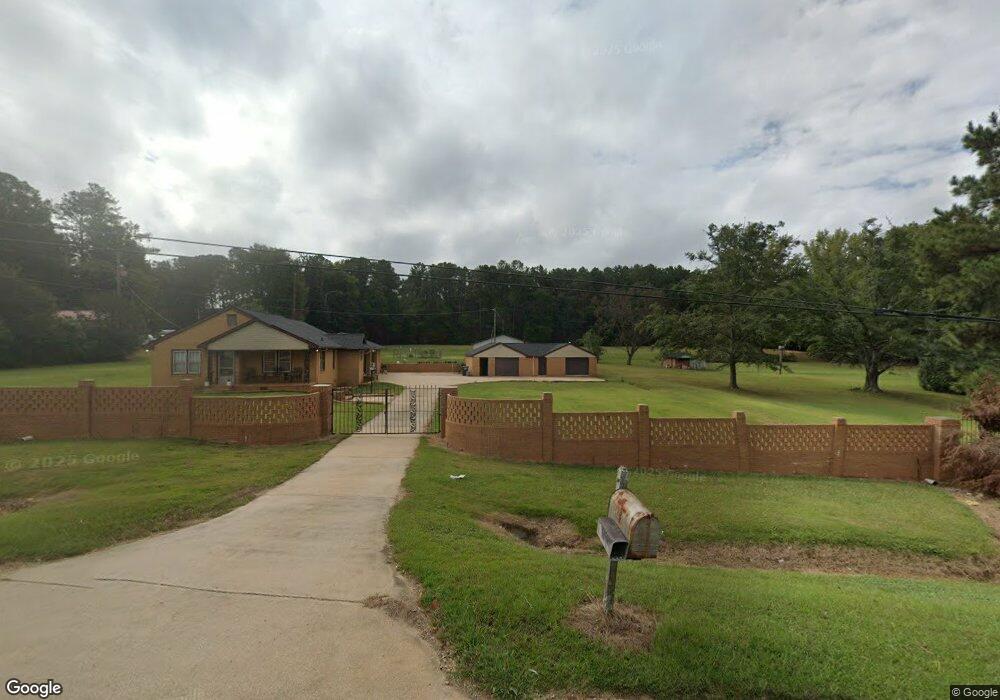
2815 Roanoke Rd Lagrange, GA 30240
Estimated Value: $282,000 - $341,000
3
Beds
2
Baths
1,557
Sq Ft
$199/Sq Ft
Est. Value
About This Home
This home is located at 2815 Roanoke Rd, Lagrange, GA 30240 and is currently estimated at $310,305, approximately $199 per square foot. 2815 Roanoke Rd is a home with nearby schools including Berta Weathersbee Elementary School, Whitesville Road Elementary School, and Long Cane Elementary School.
Ownership History
Date
Name
Owned For
Owner Type
Purchase Details
Closed on
Jul 28, 2023
Sold by
Littlefield Karen
Bought by
Gooch Nathan Keith
Current Estimated Value
Home Financials for this Owner
Home Financials are based on the most recent Mortgage that was taken out on this home.
Original Mortgage
$270,750
Outstanding Balance
$263,650
Interest Rate
6.71%
Mortgage Type
New Conventional
Estimated Equity
$46,655
Purchase Details
Closed on
Feb 5, 2022
Sold by
Littlefield Phillip Thomas
Bought by
Littlefield Karen
Purchase Details
Closed on
Oct 9, 1992
Bought by
Ward William Winfred
Purchase Details
Closed on
Jan 1, 1950
Sold by
Arnold Pike
Create a Home Valuation Report for This Property
The Home Valuation Report is an in-depth analysis detailing your home's value as well as a comparison with similar homes in the area
Purchase History
| Date | Buyer | Sale Price | Title Company |
|---|---|---|---|
| Gooch Nathan Keith | $285,000 | -- | |
| Littlefield Karen | -- | -- | |
| Ward William Winfred | -- | -- | |
| -- | -- | -- |
Source: Public Records
Mortgage History
| Date | Status | Borrower | Loan Amount |
|---|---|---|---|
| Open | Gooch Nathan Keith | $270,750 |
Source: Public Records
Tax History
| Year | Tax Paid | Tax Assessment Tax Assessment Total Assessment is a certain percentage of the fair market value that is determined by local assessors to be the total taxable value of land and additions on the property. | Land | Improvement |
|---|---|---|---|---|
| 2025 | $2,944 | $119,408 | $15,200 | $104,208 |
| 2024 | $2,944 | $107,928 | $15,200 | $92,728 |
| 2023 | $1,577 | $59,808 | $8,320 | $51,488 |
| 2022 | $1,542 | $57,248 | $8,320 | $48,928 |
| 2021 | $1,307 | $43,340 | $6,640 | $36,700 |
| 2020 | $1,307 | $43,340 | $6,640 | $36,700 |
| 2019 | $1,306 | $43,300 | $6,640 | $36,660 |
| 2018 | $1,204 | $39,928 | $6,640 | $33,288 |
| 2017 | $1,204 | $39,928 | $6,640 | $33,288 |
| 2016 | $1,170 | $38,791 | $6,640 | $32,151 |
| 2015 | $1,172 | $38,791 | $6,640 | $32,151 |
| 2014 | $1,123 | $37,099 | $6,640 | $30,459 |
| 2013 | -- | $38,384 | $6,640 | $31,744 |
Source: Public Records
Map
Nearby Homes
- 336 Whitaker Rd
- 117 Brookwood Dr
- 223 Pinehaven Dr
- 509 Connie Dr
- 427 Fling Rd
- 229 W Lakeview Dr
- 104 Spring Valley Dr
- 8 Horace Carter Rd
- 200 Cheyenne Dr
- 203 Shawnee Dr
- 0 Bradfield Dr Unit 10568803
- 3 Reed Dr
- 641 Whitaker Rd
- 114 Westgate Dr
- 124 Foxdale Dr
- 808 S Fling Rd
- 0 Unit 10514554
- 104 Bridlewood Dr
- 217 Highland Trail
- 440 & 448 Kimbrough Rd
- 2767 Roanoke Rd
- 0 Roanoke Rd Unit 8.246 Ac 8434764
- 0 Roanoke Rd Unit 7229490
- 0 Roanoke Rd Unit 3131621
- 0 Roanoke Rd Unit 7082581
- 0 Roanoke Rd Unit LT 12 7124367
- 0 Roanoke Rd Unit 8075991
- 0 Roanoke Rd Unit 7587283
- 0 Roanoke Rd Unit 8110348
- 0 Roanoke Rd Unit 2.008+/- Ac 8170512
- 0 Roanoke Rd
- 0 Roanoke Rd Unit 20151209
- 0 Roanoke Rd Unit 10124922
- 0 Roanoke Rd Unit 10122874
- 0 Roanoke Rd Unit 52603334
- 0 Roanoke Rd Unit 20007400
- 2783 Roanoke Rd
- 38 Fling Rd
- 0 Whitaker Rd Unit 3137676
- 0 Whitaker Rd Unit 8826970