2815 Thompson Station Rd E Thompsons Station, TN 37179
Estimated Value: $907,519 - $1,794,000
--
Bed
2
Baths
2,581
Sq Ft
$479/Sq Ft
Est. Value
About This Home
This home is located at 2815 Thompson Station Rd E, Thompsons Station, TN 37179 and is currently estimated at $1,236,880, approximately $479 per square foot. 2815 Thompson Station Rd E is a home located in Williamson County with nearby schools including Thompson's Station Middle School, Summit High School, and Primrose School of Spring Hill.
Ownership History
Date
Name
Owned For
Owner Type
Purchase Details
Closed on
Feb 28, 2006
Sold by
Smith Mary R and Smith Thomas C
Bought by
2 D Investments Llc
Current Estimated Value
Home Financials for this Owner
Home Financials are based on the most recent Mortgage that was taken out on this home.
Original Mortgage
$575,000
Interest Rate
6.19%
Mortgage Type
Purchase Money Mortgage
Create a Home Valuation Report for This Property
The Home Valuation Report is an in-depth analysis detailing your home's value as well as a comparison with similar homes in the area
Home Values in the Area
Average Home Value in this Area
Purchase History
| Date | Buyer | Sale Price | Title Company |
|---|---|---|---|
| 2 D Investments Llc | $725,000 | Land Title South Inc |
Source: Public Records
Mortgage History
| Date | Status | Borrower | Loan Amount |
|---|---|---|---|
| Closed | 2 D Investments Llc | $575,000 |
Source: Public Records
Tax History Compared to Growth
Tax History
| Year | Tax Paid | Tax Assessment Tax Assessment Total Assessment is a certain percentage of the fair market value that is determined by local assessors to be the total taxable value of land and additions on the property. | Land | Improvement |
|---|---|---|---|---|
| 2025 | $2,899 | $296,725 | $200,325 | $96,400 |
| 2024 | $2,899 | $146,175 | $72,850 | $73,325 |
| 2023 | $2,899 | $146,175 | $72,850 | $73,325 |
| 2022 | $2,899 | $146,175 | $72,850 | $73,325 |
| 2021 | $2,899 | $146,175 | $72,850 | $73,325 |
| 2020 | $2,650 | $114,075 | $48,575 | $65,500 |
| 2019 | $2,650 | $114,075 | $48,575 | $65,500 |
| 2018 | $2,571 | $114,075 | $48,575 | $65,500 |
| 2017 | $2,548 | $114,075 | $48,575 | $65,500 |
| 2016 | $2,514 | $114,075 | $48,575 | $65,500 |
| 2015 | -- | $96,425 | $37,325 | $59,100 |
| 2014 | -- | $96,425 | $37,325 | $59,100 |
Source: Public Records
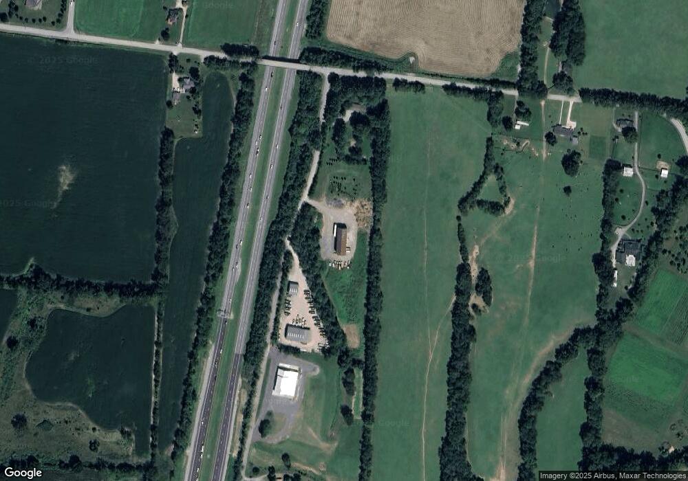
Map
Nearby Homes
- 2717 Learcrest Ct
- 799 Saint Clair Ave
- 781 Saint Clair Ave
- 316 Huron Dr
- 310 Huron Dr
- 328 Huron Dr
- 145 Salton Ln
- 155 Salton Ln
- 157 Salton Ln
- 148 Salton Ln
- 140 Salton Ln
- 147 Salton Ln
- 151 Salton Ln
- 153 Salton Ln
- 159 Salton Ln
- 149 Salton Ln
- 504 Mare Alley
- 307 Deep Creek Dr
- 625 Flathead Alley
- 217 Tahoe Alley
- 2616 Pratt Rd
- 0 Hurchel Fox Rd Unit 1970839
- 0 Hurchel Fox Rd Unit 1911225
- 0 Hurchel Fox Rd Unit RTC2655719
- 0 Hurchel Fox Rd Unit 2161109
- 0 Hurchel Fox Rd Unit 2093936
- 0 Hurchel Fox Rd Unit 2081723
- 2809 Thompson Station Rd E
- 2828 Thompson Station Rd E Unit 29
- 2620 Pratt Rd
- 2806 Thompson Station Rd E
- 2831 Thompson Station Rd E
- 2833 Thompson Station Rd E
- 2626 Pratt Rd
- 2710 Pantall Rd
- 2725 Learcrest Ct
- 2715 Pantall Rd
- 2721 Learcrest Ct
- 2704 Pantall Rd
- 2625 Blair Park Cir