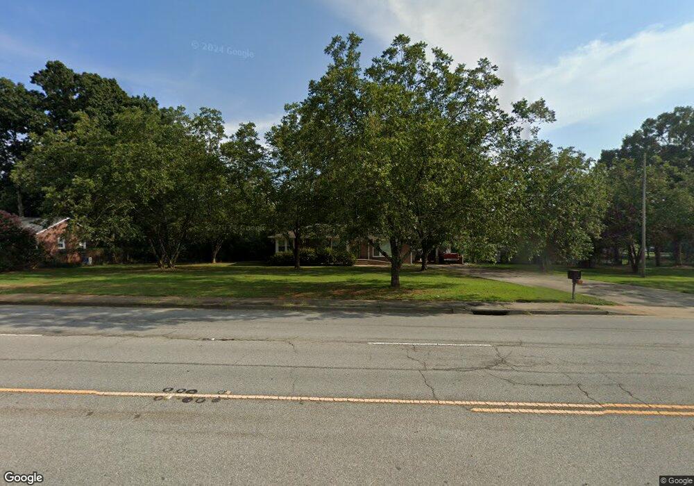
2815 W Whitner St Anderson, SC 29626
Estimated Value: $213,386 - $275,000
3
Beds
--
Bath
2,043
Sq Ft
$116/Sq Ft
Est. Value
About This Home
This home is located at 2815 W Whitner St, Anderson, SC 29626 and is currently estimated at $236,347, approximately $115 per square foot. 2815 W Whitner St is a home located in Anderson County with nearby schools including McLees Elementary School, Robert Anderson Middle School, and Westside High School.
Ownership History
Date
Name
Owned For
Owner Type
Purchase Details
Closed on
Mar 12, 2025
Sold by
Moore James Carroll
Bought by
Moore Elaine O
Current Estimated Value
Purchase Details
Closed on
May 26, 2016
Sold by
Anderson County Treasurer
Bought by
Moore James and Moore Elaine
Home Financials for this Owner
Home Financials are based on the most recent Mortgage that was taken out on this home.
Original Mortgage
$50,000
Interest Rate
3.64%
Create a Home Valuation Report for This Property
The Home Valuation Report is an in-depth analysis detailing your home's value as well as a comparison with similar homes in the area
Home Values in the Area
Average Home Value in this Area
Purchase History
| Date | Buyer | Sale Price | Title Company |
|---|---|---|---|
| Moore Elaine O | -- | None Listed On Document | |
| Moore James | -- | -- |
Source: Public Records
Mortgage History
| Date | Status | Borrower | Loan Amount |
|---|---|---|---|
| Previous Owner | Moore James | $50,000 | |
| Previous Owner | Moore James | -- |
Source: Public Records
Tax History Compared to Growth
Tax History
| Year | Tax Paid | Tax Assessment Tax Assessment Total Assessment is a certain percentage of the fair market value that is determined by local assessors to be the total taxable value of land and additions on the property. | Land | Improvement |
|---|---|---|---|---|
| 2024 | $1,710 | $5,370 | $600 | $4,770 |
| 2023 | $1,710 | $5,370 | $600 | $4,770 |
| 2022 | $399 | $5,370 | $600 | $4,770 |
| 2021 | $344 | $4,810 | $400 | $4,410 |
| 2020 | $342 | $4,810 | $400 | $4,410 |
| 2019 | $348 | $4,810 | $400 | $4,410 |
| 2018 | $348 | $4,810 | $400 | $4,410 |
| 2017 | -- | $4,810 | $400 | $4,410 |
| 2016 | $330 | $4,990 | $800 | $4,190 |
| 2015 | $338 | $4,990 | $800 | $4,190 |
| 2014 | $338 | $4,990 | $800 | $4,190 |
Source: Public Records
Map
Nearby Homes
- 00 Highway 24
- 0000 Pearman Dairy Rd
- 1520 Pearman Dairy Rd
- 125 Warner Rd
- 2521 W Whitner St
- 203 Fernwood Cir
- 2403 Dobbins Bridge Rd
- 216 Carling Dr
- 423 Greenmeadow Cir
- 137 Selwyn Dr
- 307 Beaty Square
- 202 Hazelwood Ave
- 112 Tabitha Ct Unit 1,2,3 and 4
- 112 Tabitha Ct
- 205 Hazelwood Ave Unit Lot 10 Block A
- 209 and 205 Hazelwood Ave Unit Lots 12 (209) & 10 (
- 209 Hazelwood Ave Unit Lot 12 Block A
- 415 Chauga Dr
- 405 Fairfax St
- 409 Fairfax St
- 2811 W Whitner St
- 2809 W Whitner St
- 2807 W Whitner St
- 2807 W Whitner St Unit Anderson
- 2827 W Whitner St
- 2805 W Whitner St
- 2818 Sunset Forest Rd
- 2808 Sunset Forest Rd
- 2806 Sunset Forest Rd
- 2803 W Whitner St
- 106 Fretwell Dr
- 2801 W Whitner St
- 2817 Sunset Forest Rd
- 110 Fretwell Dr
- 2813 Sunset Forest Rd
- 2827 Sunset Forest Rd
- 105 Fretwell Dr
- 2831 Sunset Forest Rd
- 2811 Sunset Forest Rd
- 2833 Sunset Forest Rd