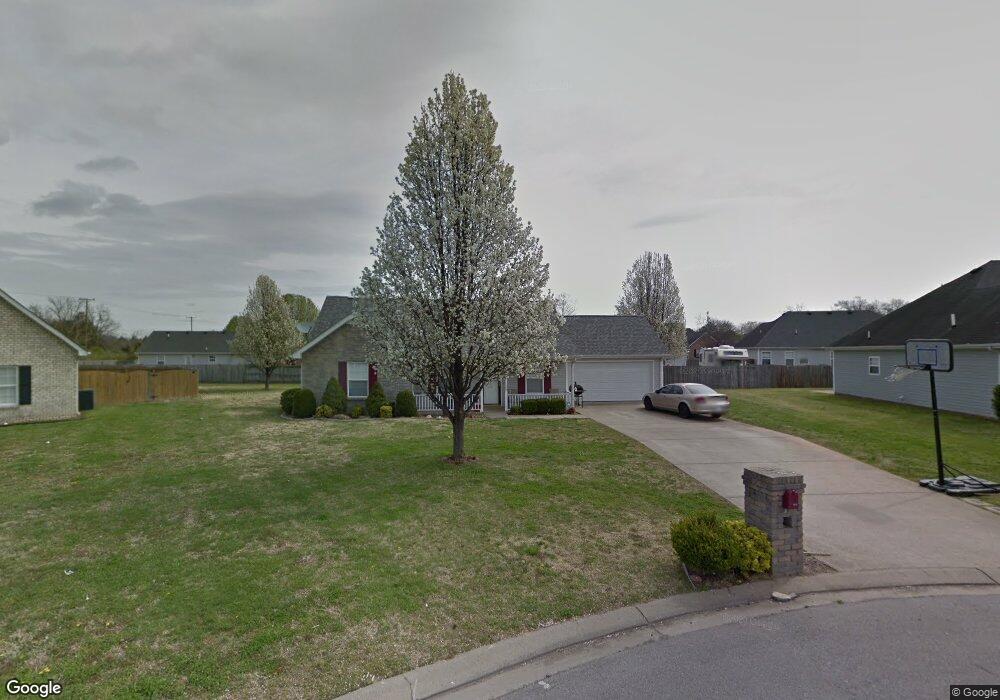
2816 General Maney Ct La Vergne, TN 37086
Estimated Value: $302,704 - $363,000
--
Bed
2
Baths
1,310
Sq Ft
$260/Sq Ft
Est. Value
About This Home
This home is located at 2816 General Maney Ct, La Vergne, TN 37086 and is currently estimated at $341,176, approximately $260 per square foot. 2816 General Maney Ct is a home located in Rutherford County with nearby schools including Lavergne Primary School, Roy L. Waldron Elementary School, and La Vergne Middle School.
Ownership History
Date
Name
Owned For
Owner Type
Purchase Details
Closed on
Jul 18, 2007
Sold by
Crye Bert W and Crye Gwen F
Bought by
Nesmith Terrill L and Nesmith Marquitta
Current Estimated Value
Home Financials for this Owner
Home Financials are based on the most recent Mortgage that was taken out on this home.
Original Mortgage
$135,400
Outstanding Balance
$85,290
Interest Rate
6.65%
Mortgage Type
Purchase Money Mortgage
Estimated Equity
$255,886
Create a Home Valuation Report for This Property
The Home Valuation Report is an in-depth analysis detailing your home's value as well as a comparison with similar homes in the area
Home Values in the Area
Average Home Value in this Area
Purchase History
| Date | Buyer | Sale Price | Title Company |
|---|---|---|---|
| Nesmith Terrill L | $135,400 | -- |
Source: Public Records
Mortgage History
| Date | Status | Borrower | Loan Amount |
|---|---|---|---|
| Open | Nesmith Terrill L | $135,400 |
Source: Public Records
Tax History Compared to Growth
Tax History
| Year | Tax Paid | Tax Assessment Tax Assessment Total Assessment is a certain percentage of the fair market value that is determined by local assessors to be the total taxable value of land and additions on the property. | Land | Improvement |
|---|---|---|---|---|
| 2025 | $1,602 | $66,400 | $13,750 | $52,650 |
| 2024 | $1,602 | $66,400 | $13,750 | $52,650 |
| 2023 | $1,246 | $66,400 | $13,750 | $52,650 |
| 2022 | $1,073 | $66,400 | $13,750 | $52,650 |
| 2021 | $952 | $42,900 | $8,750 | $34,150 |
| 2020 | $952 | $42,900 | $8,750 | $34,150 |
| 2019 | $952 | $42,900 | $8,750 | $34,150 |
| 2018 | $1,206 | $42,900 | $0 | $0 |
| 2017 | $1,135 | $31,275 | $0 | $0 |
| 2016 | $1,135 | $31,275 | $0 | $0 |
| 2015 | $1,143 | $31,275 | $0 | $0 |
| 2014 | $778 | $31,275 | $0 | $0 |
| 2013 | -- | $31,725 | $0 | $0 |
Source: Public Records
Map
Nearby Homes
- 403 Independence Ct
- 613 Sycamore Ln
- 1119 Moss Trail
- 4237 Miranda Place
- 7511 Cash Crossing Ct
- 6724 Birchbrook Dr
- 7543 Cash Crossing Ct
- 306 Cotton Ct
- 2015 Keaton Dr
- 5352 Sunnyvale Dr
- 150 Bluegill Ln
- 143 Bluegill Ln
- 149 Bluegill Ln
- 178 Ramsden Ave
- 7013 Alon Babayan Arch
- 6416 Wildgrove Dr
- 4414 Maxwell Rd
- 152 Bluegill Ln
- 7022 Alon Babayan Arch
- 102 Freeboard Alley
- 2818 General Maney Ct
- 2814 General Maney Ct
- 2627 Weatherford St
- 2629 Weatherford St
- 2625 Weatherford St
- 2819 General Maney Ct
- 2631 Weatherford St
- 2812 General Maney Ct
- 2817 General Maney Ct
- 2623 Weatherford St
- 2815 General Maney Ct
- 2810 General Maney Ct
- 2813 General Maney Ct
- 2642 Weatherford St
- 2621 Weatherford St
- 2640 Weatherford St
- 2714 Pickards Point
- 2644 Weatherford St
- 2712 Pickards Point
- 2638 Weatherford St