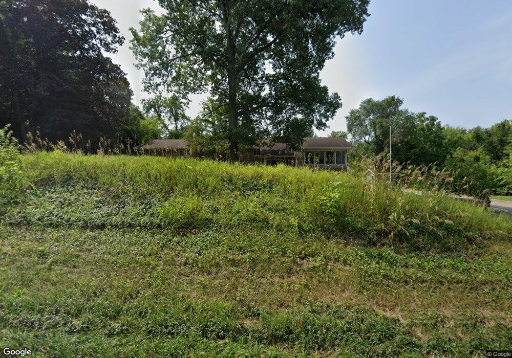
2818 Niles Buchanan Rd Buchanan, MI 49107
Estimated Value: $312,000 - $351,000
3
Beds
3
Baths
2,099
Sq Ft
$157/Sq Ft
Est. Value
About This Home
This home is located at 2818 Niles Buchanan Rd, Buchanan, MI 49107 and is currently estimated at $329,498, approximately $156 per square foot. 2818 Niles Buchanan Rd is a home located in Berrien County with nearby schools including Ottawa Elementary School, Moccasin Elementary School, and Buchanan Middle School.
Ownership History
Date
Name
Owned For
Owner Type
Purchase Details
Closed on
Dec 10, 2013
Sold by
Mckean Amy Marie and Salem Amy Marie
Bought by
Mckean Brian A
Current Estimated Value
Purchase Details
Closed on
Feb 21, 2003
Sold by
Mckean Brian A and Mckean Amy M
Bought by
Mckean Brian A and Mckean Amy M
Home Financials for this Owner
Home Financials are based on the most recent Mortgage that was taken out on this home.
Original Mortgage
$104,450
Outstanding Balance
$17,510
Interest Rate
5.96%
Mortgage Type
Unknown
Estimated Equity
$311,988
Purchase Details
Closed on
Mar 28, 2001
Purchase Details
Closed on
Mar 27, 2001
Purchase Details
Closed on
Sep 2, 1998
Purchase Details
Closed on
Mar 23, 1992
Create a Home Valuation Report for This Property
The Home Valuation Report is an in-depth analysis detailing your home's value as well as a comparison with similar homes in the area
Home Values in the Area
Average Home Value in this Area
Purchase History
| Date | Buyer | Sale Price | Title Company |
|---|---|---|---|
| Mckean Brian A | -- | None Available | |
| Mckean Brian A | -- | -- | |
| -- | -- | -- | |
| -- | $103,900 | -- | |
| -- | $100 | -- | |
| -- | $83,500 | -- |
Source: Public Records
Mortgage History
| Date | Status | Borrower | Loan Amount |
|---|---|---|---|
| Open | Mckean Brian A | $104,450 | |
| Closed | Mckean Brian A | $10,000 |
Source: Public Records
Tax History Compared to Growth
Tax History
| Year | Tax Paid | Tax Assessment Tax Assessment Total Assessment is a certain percentage of the fair market value that is determined by local assessors to be the total taxable value of land and additions on the property. | Land | Improvement |
|---|---|---|---|---|
| 2025 | $2,721 | $161,300 | $0 | $0 |
| 2024 | $1,081 | $145,200 | $0 | $0 |
| 2023 | $1,029 | $118,900 | $0 | $0 |
| 2022 | $980 | $101,900 | $0 | $0 |
| 2021 | $2,355 | $104,400 | $14,100 | $90,300 |
| 2020 | $2,324 | $97,100 | $0 | $0 |
| 2019 | $2,282 | $88,200 | $14,100 | $74,100 |
| 2018 | $2,262 | $88,200 | $0 | $0 |
| 2017 | $2,208 | $86,800 | $0 | $0 |
| 2016 | $2,194 | $81,100 | $0 | $0 |
| 2015 | $2,191 | $80,600 | $0 | $0 |
| 2014 | $862 | $80,000 | $0 | $0 |
Source: Public Records
Map
Nearby Homes
- 2930 Niles Buchanan Rd
- 3017 Niles Buchanan Rd
- 301 Woodland
- 3004 White Oaks Ln
- 0 White Oaks Ridge Unit 25034246
- 4832 Woodside Dr
- 1380 Camp Rd
- 110 Bridle Path Ln
- 1386 Riverside Rd
- 118 Schirmer Pkwy
- 4844 Ontario
- 115 Hummingbird Ln
- 134 Lexington Pointe Dr
- 103 Lexington Pointe Dr
- 123 Saratoga Ln
- 143 Lexington Pointe Dr
- 134 Turfway Park
- 218 Arlington Ln
- 143 Sweet William Ln
- 219 Arlington Ln
- 2816 Niles-Buchanan R Rd
- 2822 Niles Buchanan Rd
- 2826 Niles Buchanan Rd
- 2812 Niles Buchanan Rd
- 110 Mayflower Rd
- 200 Mayflower Rd
- 2830 Niles Buchanan Rd
- 300 Mayflower Rd
- 400 Mayflower Rd
- 2860 Niles Buchanan Rd
- 880 Mayflower Rd
- 2912 Niles Buchanan Rd
- 2918 Niles Buchanan Rd
- 2900 Niles Buchanan Rd
- 2920 Niles Buchanan Rd
- 2904 Niles Buchanan Rd
- 2908 Niles Buchanan Rd
- 3114 Niles Buchanan Rd
- 305 Woodland
- 3116 Niles Buchanan Rd