Estimated Value: $104,000 - $240,000
--
Bed
--
Bath
1,242
Sq Ft
$151/Sq Ft
Est. Value
About This Home
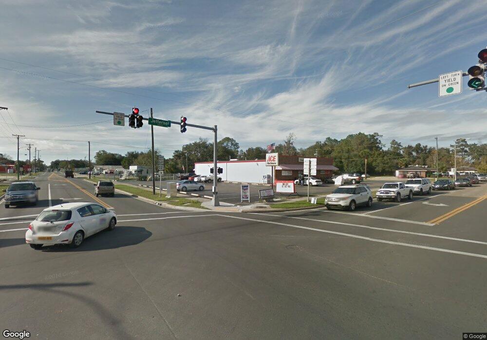
This home is located at 2819 N Unassigned Location Re, Perry, FL 32348 and is currently estimated at $188,000, approximately $151 per square foot. 2819 N Unassigned Location Re is a home with nearby schools including Steinhatchee School, Perry Primary School, and Taylor County Elementary School.
Ownership History
Date
Name
Owned For
Owner Type
Purchase Details
Closed on
Nov 30, 2020
Sold by
Markey Henry Thomas and Markey Monay L
Bought by
Cannon Jessica and Cannon Adam
Current Estimated Value
Home Financials for this Owner
Home Financials are based on the most recent Mortgage that was taken out on this home.
Original Mortgage
$114,036
Outstanding Balance
$95,999
Interest Rate
2.8%
Mortgage Type
New Conventional
Estimated Equity
$92,001
Purchase Details
Closed on
Dec 1, 2011
Sold by
Markey Henry Thomas and Markey Monay Linn
Bought by
Markey Charles W and Markey Betty J
Create a Home Valuation Report for This Property
The Home Valuation Report is an in-depth analysis detailing your home's value as well as a comparison with similar homes in the area
Home Values in the Area
Average Home Value in this Area
Purchase History
| Date | Buyer | Sale Price | Title Company |
|---|---|---|---|
| Cannon Jessica | $25,000 | Gulf Breeze Title Of Svcs | |
| Markey Charles W | -- | Attorney |
Source: Public Records
Mortgage History
| Date | Status | Borrower | Loan Amount |
|---|---|---|---|
| Open | Cannon Jessica | $114,036 |
Source: Public Records
Tax History Compared to Growth
Tax History
| Year | Tax Paid | Tax Assessment Tax Assessment Total Assessment is a certain percentage of the fair market value that is determined by local assessors to be the total taxable value of land and additions on the property. | Land | Improvement |
|---|---|---|---|---|
| 2024 | $1,106 | $142,130 | -- | -- |
| 2022 | $1,089 | $103,090 | $21,960 | $81,130 |
| 2021 | $533 | $26,350 | $26,350 | $0 |
| 2020 | $27 | $1,780 | $1,780 | $0 |
| 2019 | $27 | $1,770 | $0 | $0 |
| 2018 | $27 | $1,760 | $1,760 | $0 |
| 2017 | $27 | $1,760 | $1,760 | $0 |
| 2016 | $23 | $1,430 | $1,430 | $0 |
| 2015 | $23 | $1,430 | $1,430 | $0 |
| 2014 | -- | $1,061 | $1,061 | $0 |
Source: Public Records
Map
Nearby Homes
- 3319 Vera Ln
- 164 Leon Ward Rd
- 2011 N US 221
- 0 Farr Rd Unit 21799719
- 0 Farr Rd Unit 22529584
- 2940 N Courtney Rd
- LOT 1/4/16 State Rd
- 12119 State Rd
- 7338 State Rd
- 000 State Rd
- 1992 Wt Grubbs Rd
- 1775 U S 19
- 4079 N Lyman Hendry Rd
- 4100 Fortner Ln
- 4635 Fortner Cir
- 2940 Courtney Rd
- 4350 Fortner Cir
- 1849 Cairo Parker Rd
- 213 TIMBERLANE E St
- 305 W High St
- 2995 N Us 221
- 2901 N Us 221
- 2780 N Us 221
- 2929 N Us 221
- 1330 T W Wilson Rd
- 1280 T W Wilson Rd
- T W Wilson
- 2585 N Us 221
- 2620 N U S 221
- 0 Tw Wilson Rd Unit 4 279958
- 2819 Green Farm Rd
- 1225 T W Wilson Rd
- 2949 Green Farm Rd
- 000 Leon Ward Rd
- 1350 MacK Sessions Rd
- 71 McMullen Bridge Rd
- 2469 N Us 221
- 2469 N U S 221
- 3108 Vera Ln
- 1373 MacK Sessions Rd
