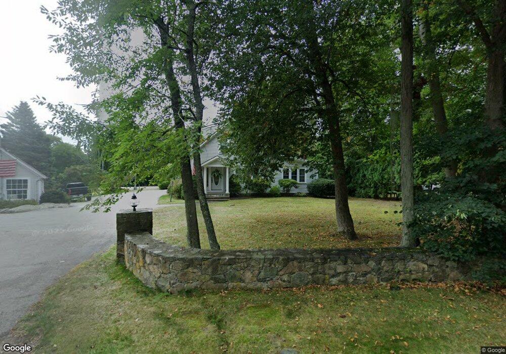
282 Cedar St Unit 1 Cohasset, MA 02025
Estimated Value: $815,000 - $970,000
7
Beds
3
Baths
2,175
Sq Ft
$417/Sq Ft
Est. Value
About This Home
This home is located at 282 Cedar St Unit 1, Cohasset, MA 02025 and is currently estimated at $906,357, approximately $416 per square foot. 282 Cedar St Unit 1 is a home located in Norfolk County with nearby schools including Joseph Osgood School, Deer Hill School, and Cohasset Middle School.
Ownership History
Date
Name
Owned For
Owner Type
Purchase Details
Closed on
Jul 15, 2015
Sold by
Us Bank Na Tr
Bought by
Bletzer 3Rd Conrad J and Bletzer Christine P
Current Estimated Value
Home Financials for this Owner
Home Financials are based on the most recent Mortgage that was taken out on this home.
Original Mortgage
$369,000
Outstanding Balance
$287,925
Interest Rate
3.88%
Mortgage Type
New Conventional
Estimated Equity
$618,432
Purchase Details
Closed on
Jul 19, 2013
Sold by
Wilmarc Charles and Gmac Mortgage Llc
Bought by
Gmac Mortgage Llc
Purchase Details
Closed on
Jun 13, 2003
Sold by
Frost Bruce E and Galvin-Frost Lori
Bought by
Charles Wilmar
Purchase Details
Closed on
Mar 1, 1999
Sold by
Infusino Francis and Infusino Vera
Bought by
Frost Bruce E and Frost Lori A
Create a Home Valuation Report for This Property
The Home Valuation Report is an in-depth analysis detailing your home's value as well as a comparison with similar homes in the area
Home Values in the Area
Average Home Value in this Area
Purchase History
| Date | Buyer | Sale Price | Title Company |
|---|---|---|---|
| Bletzer 3Rd Conrad J | $410,000 | -- | |
| Us Bank Na Tr | -- | -- | |
| Gmac Mortgage Llc | $486,000 | -- | |
| Charles Wilmar | $388,850 | -- | |
| Frost Bruce E | $156,250 | -- |
Source: Public Records
Mortgage History
| Date | Status | Borrower | Loan Amount |
|---|---|---|---|
| Open | Bletzer 3Rd Conrad J | $369,000 |
Source: Public Records
Tax History Compared to Growth
Tax History
| Year | Tax Paid | Tax Assessment Tax Assessment Total Assessment is a certain percentage of the fair market value that is determined by local assessors to be the total taxable value of land and additions on the property. | Land | Improvement |
|---|---|---|---|---|
| 2025 | $8,045 | $694,700 | $283,000 | $411,700 |
| 2024 | $8,021 | $659,100 | $236,100 | $423,000 |
| 2023 | $7,749 | $656,700 | $235,900 | $420,800 |
| 2022 | $7,371 | $586,900 | $209,300 | $377,600 |
| 2021 | $7,437 | $570,300 | $209,300 | $361,000 |
| 2020 | $7,397 | $570,300 | $209,300 | $361,000 |
| 2019 | $7,357 | $570,300 | $209,300 | $361,000 |
| 2018 | $7,294 | $570,300 | $209,300 | $361,000 |
| 2017 | $7,487 | $573,300 | $199,300 | $374,000 |
| 2016 | $7,384 | $573,300 | $199,300 | $374,000 |
| 2015 | $7,287 | $573,300 | $199,300 | $374,000 |
| 2014 | $7,189 | $573,300 | $199,300 | $374,000 |
Source: Public Records
Map
Nearby Homes
- 114 Hull St
- 166 Hull St
- LOT 1B Rockland St
- 10 Chestnut Place
- 6 Grace Dr
- 45 Ocean Ledge Dr
- 10 Ocean Ledge Dr
- 101 Rockland St
- 152 Forest Ave
- 8 Evergreen Ln
- 1 Rockland St
- 23 Wyola Rd
- 33 Turkey Hill Ln
- 29 Heather Dr
- 20 Rockland House Rd Unit 203
- 54 Salisbury St Waterfront
- 121 Nantasket Ave Unit 503
- 22 Berkley Rd Unit B
- 22 Berkley Rd Unit C
- 10R Martins Ln