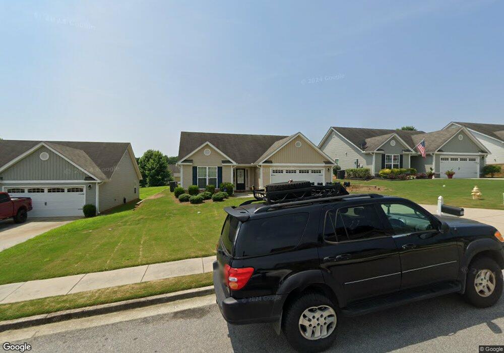
282 Jameston Dr Unit 33 Jefferson, GA 30549
Estimated Value: $328,000 - $343,000
3
Beds
2
Baths
1,650
Sq Ft
$203/Sq Ft
Est. Value
About This Home
This home is located at 282 Jameston Dr Unit 33, Jefferson, GA 30549 and is currently estimated at $335,106, approximately $203 per square foot. 282 Jameston Dr Unit 33 is a home located in Jackson County with nearby schools including Jefferson Elementary School, Jefferson Academy, and Jefferson Middle School.
Ownership History
Date
Name
Owned For
Owner Type
Purchase Details
Closed on
Feb 19, 2020
Sold by
Whisnant Justin L
Bought by
Baker Property Holdings Llc
Current Estimated Value
Purchase Details
Closed on
May 1, 2016
Sold by
Embassy Development Llc
Bought by
Southfork Homes Llc
Purchase Details
Closed on
Aug 17, 2012
Sold by
Scbt
Bought by
Embassy Development Llc
Purchase Details
Closed on
Feb 6, 2012
Purchase Details
Closed on
Aug 20, 2009
Sold by
Oconee Associates Llc
Bought by
Community Bank & Trust
Create a Home Valuation Report for This Property
The Home Valuation Report is an in-depth analysis detailing your home's value as well as a comparison with similar homes in the area
Home Values in the Area
Average Home Value in this Area
Purchase History
| Date | Buyer | Sale Price | Title Company |
|---|---|---|---|
| Baker Property Holdings Llc | $200,000 | -- | |
| Southfork Homes Llc | $45,000 | -- | |
| Embassy Development Llc | $200,000 | -- | |
| -- | -- | -- | |
| Community Bank & Trust | $42,900 | -- |
Source: Public Records
Tax History Compared to Growth
Tax History
| Year | Tax Paid | Tax Assessment Tax Assessment Total Assessment is a certain percentage of the fair market value that is determined by local assessors to be the total taxable value of land and additions on the property. | Land | Improvement |
|---|---|---|---|---|
| 2024 | $3,333 | $120,920 | $26,000 | $94,920 |
| 2023 | $3,333 | $110,280 | $26,000 | $84,280 |
| 2022 | $2,966 | $92,280 | $26,000 | $66,280 |
| 2021 | $2,618 | $83,080 | $16,800 | $66,280 |
| 2020 | $2,265 | $64,640 | $11,400 | $53,240 |
| 2019 | $2,299 | $64,640 | $11,400 | $53,240 |
| 2018 | $2,225 | $62,080 | $11,400 | $50,680 |
| 2017 | $2,030 | $55,516 | $11,400 | $44,116 |
| 2016 | $331 | $9,000 | $9,000 | $0 |
| 2015 | $74 | $2,000 | $2,000 | $0 |
| 2014 | $75 | $2,000 | $2,000 | $0 |
| 2013 | -- | $2,000 | $2,000 | $0 |
Source: Public Records
Map
Nearby Homes
- 289 Jameston Dr
- 292 Jameston Dr
- 224 Millstone Trail
- 76 Colonial Ct
- 104 Jameston Dr
- 622 River Rock Cir
- 420 Andrew Ridge Dr
- 581 Rachel View Ct
- 506 Canoe Dr
- 245 Briarcrest Dr
- 42 Brant Cir
- 0 Galilee Ln
- 282 Brant Cir
- 438 Indian River Dr
- 218 Bullock Pass
- Denton Plan at Jackson Creek - Jackson Landing
- Halton Plan at Jackson Creek - Jackson Landing
- Hayden Plan at Jackson Landing
- Cali Plan at Jackson Landing
- 282 Jameston Dr
- 270 Jameston Dr Unit 34
- 270 Jameston Dr
- 304 Jameston Dr
- 248 Jameston Dr Unit 35
- 248 Jameston Dr
- 00 N Berea Rd
- 72 Roller Mill Dr Unit P
- 0 Kalmia Dr Unit 6072287
- 72P Roller Mill Dr Unit P
- 72P Roller Mill Dr
- 0 Kalmia Dr Unit LOT 4 8446009
- 309 Tract 3 - Lee St
- 309 Tract 2 - Lee St
- 309 - Trac Lee St
- 0 Logistics Center Pkwy Unit 8430808
- 0 Ridge Crest Ct Unit 6028537
- 0 Ridge Crest Ct Unit 86 8400113
- 00 Porter Rd
- 01 Rd