282 Powerline Rd New Smyrna Beach, FL 32168
Estimated Value: $585,000
3
Beds
2
Baths
2,181
Sq Ft
$268/Sq Ft
Est. Value
About This Home
This home is located at 282 Powerline Rd, New Smyrna Beach, FL 32168 and is currently estimated at $585,000, approximately $268 per square foot. 282 Powerline Rd is a home with nearby schools including Cypress Creek Elementary School and Creekside Middle School.
Ownership History
Date
Name
Owned For
Owner Type
Purchase Details
Closed on
Jun 25, 2025
Sold by
Roussey Todd Louis and Roussey Todd
Bought by
Roussey Todd Louis and Mullins Eva Marie
Current Estimated Value
Home Financials for this Owner
Home Financials are based on the most recent Mortgage that was taken out on this home.
Original Mortgage
$620,000
Interest Rate
6.74%
Mortgage Type
New Conventional
Purchase Details
Closed on
Jul 30, 2004
Sold by
Shake Karl R and Shake Barbara
Bought by
Roussey Todd
Purchase Details
Closed on
Jun 15, 1979
Bought by
Roussey Todd
Create a Home Valuation Report for This Property
The Home Valuation Report is an in-depth analysis detailing your home's value as well as a comparison with similar homes in the area
Home Values in the Area
Average Home Value in this Area
Purchase History
| Date | Buyer | Sale Price | Title Company |
|---|---|---|---|
| Roussey Todd Louis | $100 | Two Rivers Title | |
| Roussey Todd Louis | $100 | Two Rivers Title | |
| Roussey Todd | $22,500 | Fidelity National Title Insu | |
| Roussey Todd | $9,500 | -- |
Source: Public Records
Mortgage History
| Date | Status | Borrower | Loan Amount |
|---|---|---|---|
| Previous Owner | Roussey Todd Louis | $620,000 |
Source: Public Records
Tax History Compared to Growth
Tax History
| Year | Tax Paid | Tax Assessment Tax Assessment Total Assessment is a certain percentage of the fair market value that is determined by local assessors to be the total taxable value of land and additions on the property. | Land | Improvement |
|---|---|---|---|---|
| 2025 | $3,515 | $232,090 | -- | -- |
| 2024 | $3,515 | $225,550 | -- | -- |
| 2023 | $3,515 | $218,981 | $0 | $0 |
| 2022 | $3,447 | $212,603 | $0 | $0 |
| 2021 | $3,425 | $200,529 | $0 | $0 |
| 2020 | $3,370 | $197,760 | $0 | $0 |
| 2019 | $3,434 | $193,314 | $0 | $0 |
| 2018 | $3,403 | $189,710 | $0 | $0 |
| 2017 | $3,400 | $185,808 | $0 | $0 |
| 2016 | $3,498 | $181,986 | $0 | $0 |
| 2015 | $3,584 | $180,721 | $0 | $0 |
| 2014 | $3,535 | $179,287 | $0 | $0 |
Source: Public Records
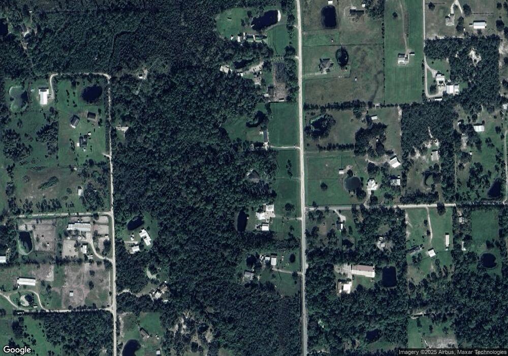
Map
Nearby Homes
- 0 State Route 415 Unit MFRNS1085172
- 0 State Route 415 Unit 1205233
- 0 State Route 415 Unit MFRNS1082855
- 123 N Cucumber Ln
- 3989 Cresthill Ln
- 187 N Samsula Dr
- TBD County Rd
- 2800 Tomoka Farms Rd
- 0 S Samsula Dr
- 185 Brookside Dr
- No Address State Rd 44
- 0 State Rd 44 Unit MFRNS1084904
- 0 State Rd 44 Unit 1076979
- 3592 Grande Tuscany Way
- 3589 Grande Tuscany Way
- 3552 Casalta Cir
- 3583 Maribella Dr
- 3625 Pioneer Trail
- 4641 Herin Dr
- 3606 Maribella Dr
- 274 Powerline Rd
- 262 Powerline Rd
- 4094 Smith Rd
- 310 Powerline Rd
- 0 Powerline Rd
- 259 Powerline Rd
- 285 Powerline Rd
- 273 Pine Oak Ln
- 309 Powerline Rd
- 320 Powerline Rd
- 295 Pine Oak Ln
- 255 Pine Oak Ln
- 283 Pine Oak Ln
- 0 Pine Oak Ln
- 294 Pine Oak Ln
- 4070 Smith Rd
- 4067 Smith Rd
- 274 Pine Oak Ln
- 239 Powerline Rd
- 4080 High Ridge Dr