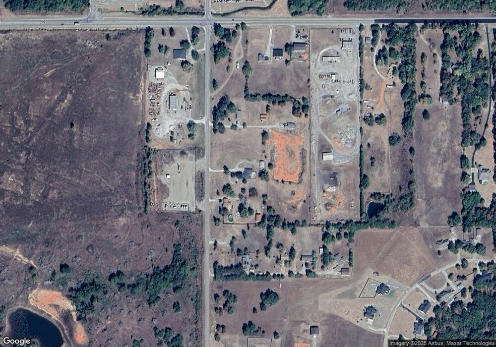
282 S Industrial Rd Chandler, OK 74834
Estimated Value: $255,985 - $386,000
3
Beds
3
Baths
1,539
Sq Ft
$196/Sq Ft
Est. Value
About This Home
This home is located at 282 S Industrial Rd, Chandler, OK 74834 and is currently estimated at $301,996, approximately $196 per square foot. 282 S Industrial Rd is a home located in Lincoln County with nearby schools including East Side Elementary School, Park Road Elementary School, and Chandler Junior High School.
Ownership History
Date
Name
Owned For
Owner Type
Purchase Details
Closed on
Jun 9, 1999
Sold by
Wayland Billy and Wayland Christi
Bought by
Wayland Billy J and Wayland *
Current Estimated Value
Purchase Details
Closed on
Jul 28, 1997
Sold by
Wayland Jr Billy J
Bought by
Wayland Billy J and Wayland Perki
Purchase Details
Closed on
Jul 28, 1995
Sold by
Key Melvin and Key Doris
Bought by
Wayland Billy
Purchase Details
Closed on
Dec 9, 1976
Sold by
Key Grace
Bought by
Key Melvin and Key Doris
Create a Home Valuation Report for This Property
The Home Valuation Report is an in-depth analysis detailing your home's value as well as a comparison with similar homes in the area
Home Values in the Area
Average Home Value in this Area
Purchase History
| Date | Buyer | Sale Price | Title Company |
|---|---|---|---|
| Wayland Billy J | -- | -- | |
| Wayland Billy J | -- | -- | |
| Wayland Billy | $7,000 | -- | |
| Key Melvin | $3,000 | -- |
Source: Public Records
Tax History Compared to Growth
Tax History
| Year | Tax Paid | Tax Assessment Tax Assessment Total Assessment is a certain percentage of the fair market value that is determined by local assessors to be the total taxable value of land and additions on the property. | Land | Improvement |
|---|---|---|---|---|
| 2024 | $1,155 | $12,395 | $2,902 | $9,493 |
| 2023 | $1,155 | $24,844 | $2,902 | $21,942 |
| 2022 | $1,047 | $13,004 | $1,503 | $11,501 |
| 2021 | $1,040 | $12,625 | $1,847 | $10,778 |
| 2020 | $1,038 | $12,258 | $1,463 | $10,795 |
| 2019 | $1,021 | $11,901 | $1,464 | $10,437 |
| 2018 | $971 | $11,555 | $1,443 | $10,112 |
| 2017 | $946 | $11,218 | $883 | $10,335 |
| 2016 | $888 | $10,792 | $857 | $9,935 |
| 2015 | $868 | $10,476 | $1,118 | $9,358 |
| 2014 | $772 | $9,419 | $1,086 | $8,333 |
Source: Public Records
Map
Nearby Homes
- 346090 E 903 Rd
- 2018 Primrose Ln
- 870331 N 3460 Rd
- 0 E 1st St
- 511 Turner Rd
- 344768 E 890 Rd
- 0 N Oak Ave
- 1117 E 17th St
- 880612 S 3450 Rd
- 0 Summer Ln
- 802 Bennett Blvd
- 200 N Dewey Ave
- 709 S Dewey Ave
- 420 E 12th St
- 412 S Cleveland Ave
- 320 E 11th St
- 218 E 8th St
- 920173 S 3450 Rd
- 407 Manvel Ave
- 910903 S 3444 Rd
- 320 S Industrial Rd
- 346044 E 903 Rd
- 346114 E 903 Rd
- 346071 E Highway 66
- 102 Industrial Rd
- 346140 E 903 Rd
- 346207 E Highway 66
- 1020 Primrose Ln
- 9056 Melody Ln
- 346255 E Highway 66
- 1050 Primrose Ln
- 890225 S 3445 Rd
- 1060 Primrose Ln
- 1021 Primrose Ln
- 9050 Melody Ln
- 9043 Melody Ln
- 900292 S 3462 Rd
- 9054 Melody Ln
- 9044 Melody Ln
- 9060 Melody Ln
