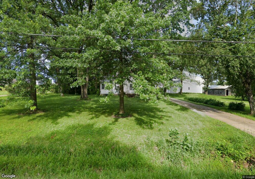
2820 18th St SW Cedar Rapids, IA 52404
Estimated Value: $277,000 - $384,810
3
Beds
1
Bath
10,236
Sq Ft
$31/Sq Ft
Est. Value
About This Home
This home is located at 2820 18th St SW, Cedar Rapids, IA 52404 and is currently estimated at $314,603, approximately $30 per square foot. 2820 18th St SW is a home with nearby schools including Junction City Elementary School, Perryville Elementary School, and Van Buren Elementary School.
Ownership History
Date
Name
Owned For
Owner Type
Purchase Details
Closed on
Feb 23, 2000
Sold by
Beck Norma Jean and Shepherd Gerald L
Bought by
Long Brian and Long Lori K
Current Estimated Value
Home Financials for this Owner
Home Financials are based on the most recent Mortgage that was taken out on this home.
Original Mortgage
$144,000
Outstanding Balance
$47,985
Interest Rate
8.27%
Mortgage Type
Purchase Money Mortgage
Estimated Equity
$266,618
Create a Home Valuation Report for This Property
The Home Valuation Report is an in-depth analysis detailing your home's value as well as a comparison with similar homes in the area
Home Values in the Area
Average Home Value in this Area
Purchase History
| Date | Buyer | Sale Price | Title Company |
|---|---|---|---|
| Long Brian | $179,500 | -- |
Source: Public Records
Mortgage History
| Date | Status | Borrower | Loan Amount |
|---|---|---|---|
| Open | Long Brian | $144,000 |
Source: Public Records
Tax History Compared to Growth
Tax History
| Year | Tax Paid | Tax Assessment Tax Assessment Total Assessment is a certain percentage of the fair market value that is determined by local assessors to be the total taxable value of land and additions on the property. | Land | Improvement |
|---|---|---|---|---|
| 2025 | $3,112 | $231,500 | $25,800 | $205,700 |
| 2024 | $3,214 | $190,400 | $22,300 | $168,100 |
| 2023 | $3,214 | $187,200 | $22,300 | $164,900 |
| 2022 | $2,608 | $158,700 | $18,000 | $140,700 |
| 2021 | $2,818 | $134,200 | $18,000 | $116,200 |
| 2020 | $2,818 | $137,200 | $17,100 | $120,100 |
| 2019 | $2,462 | $135,000 | $23,700 | $111,300 |
| 2018 | $2,388 | $135,000 | $23,700 | $111,300 |
| 2017 | $2,911 | $138,000 | $26,200 | $111,800 |
| 2016 | $2,911 | $153,600 | $26,200 | $127,400 |
| 2015 | $2,779 | $148,400 | $25,627 | $122,773 |
| 2014 | $2,576 | $148,400 | $25,627 | $122,773 |
| 2013 | $2,516 | $148,400 | $25,627 | $122,773 |
Source: Public Records
Map
Nearby Homes
- 2825 18th St SW
- 1807 Wycliffe Ct SW
- 60.67 Ac 33rd Ave SW
- 1895 33rd Ave SW
- 2126 Snapdragon Cir SW
- 3315 Sokol Ln SW
- 2521 Radcliffe Ct SW
- 3302 Sokol Ln SW
- 3321 Sokol Ln SW
- 3406 Sokol Ln SW
- 3431 Sokol Ln SW
- 3503 Sokol Ln SW
- 3424 Sokol Ln SW
- 3502 Sokol Ln SW
- 3508 Sokol Ln SW
- 2150 Rockford Rd SW
- 3514 Sokol Ln SW
- 2105 Milligan Ct SW
- 1332 Wilson Ave SW
- 2025 18th St SW
- 2902 Hillsboro Ct SW
- 2905 Hillsboro Ct SW
- 2908 Hillsboro Ct SW
- 1908 Radcliffe Dr SW
- 2911 Hillsboro Ct SW
- 2914 Hillsboro Ct SW
- 1808 Huntsboro Ln SW
- 2917 Hillsboro Ct SW
- 1814 Huntsboro Ln SW
- 1802 Huntsboro Ln SW
- 1820 Huntsboro Ln SW
- 2920 Hillsboro Ct SW
- 2923 Hillsboro Ct SW
- 2000 Radcliffe Dr SW
- 1826 Huntsboro Ln SW
- 2929 Hillsboro Ct SW
- 2006 Radcliffe Dr SW
- 1900 Huntsboro Ln SW
- 3101 Blackberry Cir SW
- 3007 Hillsboro Ct SW