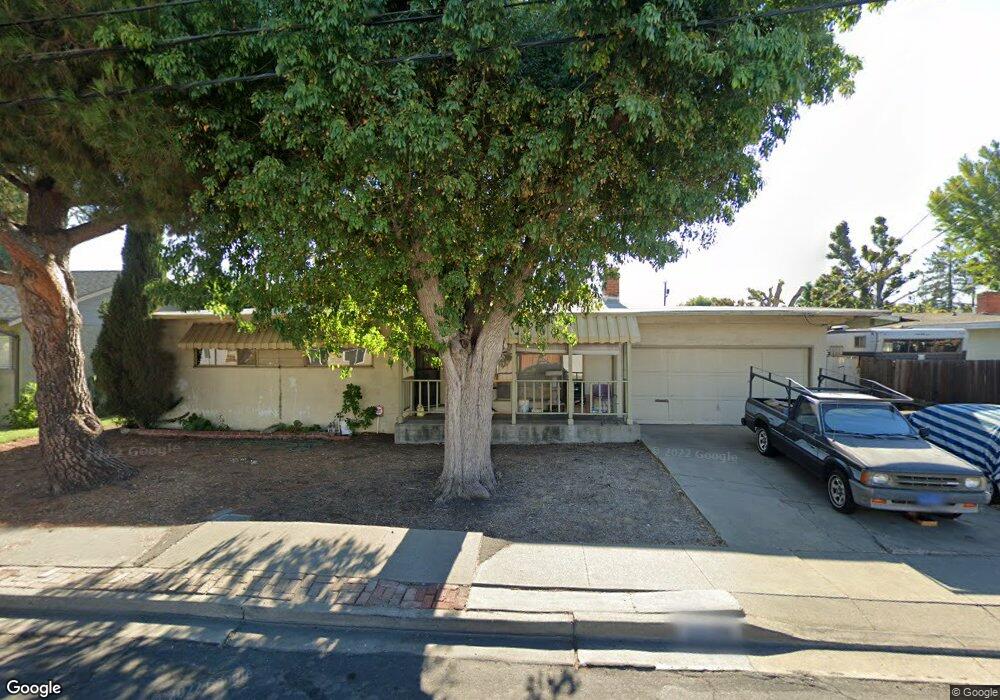
2824 Kay Ave Concord, CA 94520
Buchanan Field NeighborhoodEstimated Value: $546,716 - $622,000
3
Beds
1
Bath
1,089
Sq Ft
$548/Sq Ft
Est. Value
About This Home
This home is located at 2824 Kay Ave, Concord, CA 94520 and is currently estimated at $596,429, approximately $547 per square foot. 2824 Kay Ave is a home located in Contra Costa County with nearby schools including Holbrook Language Academy, Valley View Middle School, and Mt. Diablo High School.
Ownership History
Date
Name
Owned For
Owner Type
Purchase Details
Closed on
Jan 10, 1994
Sold by
Great Western Bank
Bought by
Walts Robert Nils
Current Estimated Value
Home Financials for this Owner
Home Financials are based on the most recent Mortgage that was taken out on this home.
Original Mortgage
$100,000
Interest Rate
7.29%
Mortgage Type
Purchase Money Mortgage
Create a Home Valuation Report for This Property
The Home Valuation Report is an in-depth analysis detailing your home's value as well as a comparison with similar homes in the area
Home Values in the Area
Average Home Value in this Area
Purchase History
| Date | Buyer | Sale Price | Title Company |
|---|---|---|---|
| Walts Robert Nils | $125,000 | North American Title Company |
Source: Public Records
Mortgage History
| Date | Status | Borrower | Loan Amount |
|---|---|---|---|
| Closed | Walts Robert Nils | $100,000 |
Source: Public Records
Tax History Compared to Growth
Tax History
| Year | Tax Paid | Tax Assessment Tax Assessment Total Assessment is a certain percentage of the fair market value that is determined by local assessors to be the total taxable value of land and additions on the property. | Land | Improvement |
|---|---|---|---|---|
| 2025 | $3,113 | $212,433 | $127,463 | $84,970 |
| 2024 | $3,033 | $208,268 | $124,964 | $83,304 |
| 2023 | $3,033 | $204,185 | $122,514 | $81,671 |
| 2022 | $2,970 | $200,182 | $120,112 | $80,070 |
| 2021 | $2,878 | $196,257 | $117,757 | $78,500 |
| 2019 | $2,807 | $190,438 | $114,265 | $76,173 |
| 2018 | $2,687 | $186,705 | $112,025 | $74,680 |
| 2017 | $2,581 | $183,045 | $109,829 | $73,216 |
| 2016 | $2,482 | $179,457 | $107,676 | $71,781 |
| 2015 | $2,424 | $176,762 | $106,059 | $70,703 |
| 2014 | $2,421 | $173,301 | $103,982 | $69,319 |
Source: Public Records
Map
Nearby Homes
- 2748 Eastgate Ave
- 2311 Crescent Dr
- 2868 Avon Ave
- 2219 Acacia Dr
- 2167 Karren St
- 2403 Mountain View Dr
- 2867 Gillet Ave
- 2823 Hilltop Rd
- 2141 Northwood Cir Unit B
- 2065 Olivera Rd Unit D
- 2067 Olivera Rd Unit B
- 3249 Claudia Dr
- 2005 Olivera Rd Unit C
- 2027 Olivera Rd Unit C
- 2097 Dalis Dr Unit 79
- 2011 Olivera Rd Unit D
- 2227 Dalis Dr Unit 159
- 2318 N 6th St
- 2259 Dalis Dr
- 1975 Bonifacio St Unit 5
- 2830 Kay Ave
- 2818 Kay Ave
- 2831 Courtland Dr
- 2837 Courtland Dr
- 2825 Courtland Dr
- 2812 Kay Ave
- 2836 Kay Ave
- 2825 Kay Ave
- 2819 Kay Ave
- 2843 Courtland Dr
- 2819 Courtland Dr
- 2831 Kay Ave
- 2813 Kay Ave
- 2806 Kay Ave
- 2837 Kay Ave
- 2813 Courtland Dr
- 2812 Westgate Ave
- 2836 Courtland Dr
- 2818 Westgate Ave
- 2807 Kay Ave