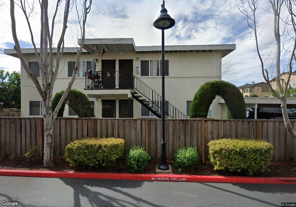
2826 10th St San Pablo, CA 94806
Estimated Value: $705,103 - $1,030,000
Studio
--
Bath
3,048
Sq Ft
$298/Sq Ft
Est. Value
About This Home
This home is located at 2826 10th St, San Pablo, CA 94806 and is currently estimated at $908,701, approximately $298 per square foot. 2826 10th St is a home located in Contra Costa County with nearby schools including Bayview Elementary School, Betty Reid Soskin Middle School, and De Anza Senior High School.
Ownership History
Date
Name
Owned For
Owner Type
Purchase Details
Closed on
Feb 18, 2026
Sold by
Robles Damian and Robles Nicolasa
Bought by
Robles Family Trust and Robles
Current Estimated Value
Purchase Details
Closed on
Aug 20, 1999
Sold by
Faith Rendell and Niemann Linda G
Bought by
Robles Damian and Robles Nicolasa
Home Financials for this Owner
Home Financials are based on the most recent Mortgage that was taken out on this home.
Original Mortgage
$208,605
Interest Rate
7.56%
Mortgage Type
FHA
Create a Home Valuation Report for This Property
The Home Valuation Report is an in-depth analysis detailing your home's value as well as a comparison with similar homes in the area
Home Values in the Area
Average Home Value in this Area
Purchase History
| Date | Buyer | Sale Price | Title Company |
|---|---|---|---|
| Robles Family Trust | -- | None Listed On Document | |
| Robles Damian | $210,000 | North American Title Co |
Source: Public Records
Mortgage History
| Date | Status | Borrower | Loan Amount |
|---|---|---|---|
| Previous Owner | Robles Damian | $208,605 |
Source: Public Records
Tax History
| Year | Tax Paid | Tax Assessment Tax Assessment Total Assessment is a certain percentage of the fair market value that is determined by local assessors to be the total taxable value of land and additions on the property. | Land | Improvement |
|---|---|---|---|---|
| 2025 | $8,102 | $322,738 | $92,205 | $230,533 |
| 2024 | $7,689 | $316,411 | $90,398 | $226,013 |
| 2023 | $7,689 | $310,208 | $88,626 | $221,582 |
| 2022 | $7,512 | $304,127 | $86,889 | $217,238 |
| 2021 | $7,388 | $298,165 | $85,186 | $212,979 |
| 2019 | $7,028 | $289,323 | $82,660 | $206,663 |
| 2018 | $6,681 | $283,651 | $81,040 | $202,611 |
| 2017 | $6,422 | $278,090 | $79,451 | $198,639 |
| 2016 | $6,225 | $272,639 | $77,894 | $194,745 |
| 2015 | $6,082 | $268,544 | $76,724 | $191,820 |
| 2014 | $5,987 | $263,285 | $75,222 | $188,063 |
Source: Public Records
Map
Nearby Homes
- 2872 10th St Unit 70
- 2717 10th St
- 2796 13th St
- 1034 Trenton Blvd
- 2856 15th St
- 2857 16th St
- 2600 Giant Rd Unit 37
- 4 Sheffield Ct
- 1111 Stonington Ave
- 8 Sheffield Ct
- 1002 Stanton Ave
- 1018 Stanton Ave
- 2729 18th St
- 124 Westgate Cir
- 1232 Stanton Ave
- 113 Westgate Cir
- 1911 Miner Ave
- 1620 Stanton Ave
- 1801 Pablo Vista Ave
- 2190 Giant Rd
- 2826 10th St Unit 1
- 2818 10th St Unit 2
- 2830 10th St Unit 58
- 2832 10th St
- 2834 10th St
- 2810 10th St
- 2825 11th St
- 2836 10th St
- 2819 11th St
- 2827 11th St
- 2815 11th St
- 2829 11th St
- 912 Lake St Unit 54
- 2844 10th St Unit 62
- 2840 10th St
- 2842 10th St Unit 63
- 2817 11th St
- 2802 10th St Unit 3
- 2846 10th St
- 914 Lake St
Your Personal Tour Guide
Ask me questions while you tour the home.