2826 Everly Ave Brandon, IA 52210
Estimated Value: $225,424 - $280,000
4
Beds
1
Bath
1,580
Sq Ft
$162/Sq Ft
Est. Value
About This Home
This home is located at 2826 Everly Ave, Brandon, IA 52210 and is currently estimated at $256,106, approximately $162 per square foot. 2826 Everly Ave is a home located in Buchanan County with nearby schools including Jesup Elementary School, Jesup Middle School, and Jesup High School.
Ownership History
Date
Name
Owned For
Owner Type
Purchase Details
Closed on
Oct 26, 2015
Sold by
Fish Ronald L and Fish Connie K
Bought by
Bernard Elwood L
Current Estimated Value
Home Financials for this Owner
Home Financials are based on the most recent Mortgage that was taken out on this home.
Original Mortgage
$124,200
Outstanding Balance
$95,410
Interest Rate
3.12%
Mortgage Type
Adjustable Rate Mortgage/ARM
Estimated Equity
$160,696
Purchase Details
Closed on
Apr 2, 2008
Sold by
Fish Connie K and Krogmann Connie K
Bought by
Fish Connie K and Fish Ronald L
Home Financials for this Owner
Home Financials are based on the most recent Mortgage that was taken out on this home.
Original Mortgage
$100,000
Interest Rate
6.09%
Mortgage Type
New Conventional
Create a Home Valuation Report for This Property
The Home Valuation Report is an in-depth analysis detailing your home's value as well as a comparison with similar homes in the area
Home Values in the Area
Average Home Value in this Area
Purchase History
| Date | Buyer | Sale Price | Title Company |
|---|---|---|---|
| Bernard Elwood L | $138,000 | None Available | |
| Fish Connie K | -- | Lsi Title Agency Inc |
Source: Public Records
Mortgage History
| Date | Status | Borrower | Loan Amount |
|---|---|---|---|
| Open | Bernard Elwood L | $124,200 | |
| Previous Owner | Fish Connie K | $100,000 |
Source: Public Records
Tax History Compared to Growth
Tax History
| Year | Tax Paid | Tax Assessment Tax Assessment Total Assessment is a certain percentage of the fair market value that is determined by local assessors to be the total taxable value of land and additions on the property. | Land | Improvement |
|---|---|---|---|---|
| 2025 | $1,926 | $182,140 | $54,000 | $128,140 |
| 2024 | $1,926 | $155,340 | $51,010 | $104,330 |
| 2023 | $1,866 | $155,340 | $51,010 | $104,330 |
| 2022 | $1,734 | $128,110 | $40,700 | $87,410 |
| 2021 | $1,722 | $128,110 | $40,700 | $87,410 |
| 2020 | $1,722 | $118,480 | $37,000 | $81,480 |
| 2019 | $1,690 | $118,480 | $37,000 | $81,480 |
| 2018 | $1,562 | $116,000 | $37,000 | $79,000 |
| 2017 | $1,526 | $116,000 | $37,000 | $79,000 |
| 2016 | $1,412 | $113,940 | $30,700 | $83,240 |
| 2015 | $1,412 | $109,200 | $30,700 | $78,500 |
| 2014 | $1,450 | $109,200 | $30,700 | $78,500 |
Source: Public Records
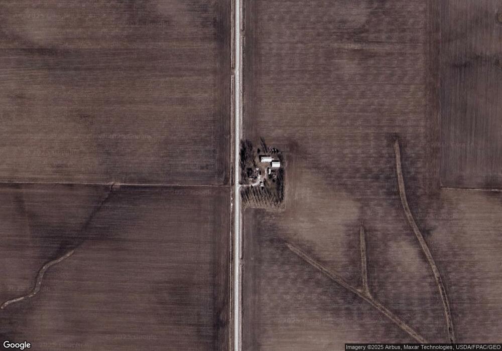
Map
Nearby Homes
- 2554 Henley Ave
- 705 South St
- 0 Tbd 325th St
- 2500 Swan Lake Blvd
- 2200 Swan Lake Blvd
- 2400 Swan Lake Blvd
- 0 25th Ave
- 1715 11th St
- 0 Benson Ridge Addition Unit Lot 1 20224978
- 0 Benson Ridge Addition Unit Lot 2 20224979
- 0 Benson Ridge Addition Unit Lot 7 20241370
- Lot 1 Benson Shady Grove Ave
- Lot 4 Benson Shady Grove Ave
- Lot 2 Benson Shady Grove Ave
- 1634 11th St
- 1217 220th St
- 1209 220th St
- 00 Garling Rd
- 1644 Killarney Dr
- Lot 7 Dalton St