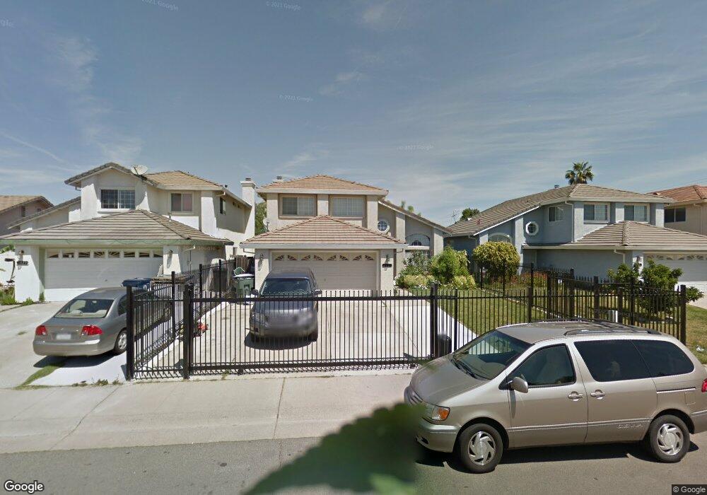
2827 Hing Ave Sacramento, CA 95822
Woodbine NeighborhoodEstimated Value: $247,000 - $501,000
4
Beds
3
Baths
1,824
Sq Ft
$234/Sq Ft
Est. Value
About This Home
This home is located at 2827 Hing Ave, Sacramento, CA 95822 and is currently estimated at $426,834, approximately $234 per square foot. 2827 Hing Ave is a home located in Sacramento County with nearby schools including Woodbine Elementary School, Rosa Parks Elementary School, and Luther Burbank High School.
Ownership History
Date
Name
Owned For
Owner Type
Purchase Details
Closed on
Jan 18, 2021
Sold by
Sam Shirley M N
Bought by
Sam Shirley M N and Sam Jessica
Current Estimated Value
Purchase Details
Closed on
Oct 15, 1993
Sold by
Sam Stephanie Nhit
Bought by
Sam Shirley Mui Nhi
Home Financials for this Owner
Home Financials are based on the most recent Mortgage that was taken out on this home.
Original Mortgage
$98,700
Interest Rate
6.95%
Create a Home Valuation Report for This Property
The Home Valuation Report is an in-depth analysis detailing your home's value as well as a comparison with similar homes in the area
Home Values in the Area
Average Home Value in this Area
Purchase History
| Date | Buyer | Sale Price | Title Company |
|---|---|---|---|
| Sam Shirley M N | -- | None Listed On Document | |
| Sam Shirley M N | -- | None Listed On Document | |
| Sam Shirley Mui Nhi | $141,000 | Placer Title Company |
Source: Public Records
Mortgage History
| Date | Status | Borrower | Loan Amount |
|---|---|---|---|
| Previous Owner | Sam Shirley Mui Nhi | $98,700 |
Source: Public Records
Tax History Compared to Growth
Tax History
| Year | Tax Paid | Tax Assessment Tax Assessment Total Assessment is a certain percentage of the fair market value that is determined by local assessors to be the total taxable value of land and additions on the property. | Land | Improvement |
|---|---|---|---|---|
| 2025 | $2,970 | $239,624 | $33,979 | $205,645 |
| 2024 | $2,970 | $234,926 | $33,313 | $201,613 |
| 2023 | $2,892 | $230,320 | $32,660 | $197,660 |
| 2022 | $2,858 | $225,805 | $32,020 | $193,785 |
| 2021 | $2,718 | $221,379 | $31,393 | $189,986 |
| 2020 | $2,734 | $219,110 | $31,072 | $188,038 |
| 2019 | $2,677 | $214,814 | $30,463 | $184,351 |
| 2018 | $2,607 | $210,603 | $29,866 | $180,737 |
| 2017 | $2,566 | $206,475 | $29,281 | $177,194 |
| 2016 | $2,515 | $202,427 | $28,707 | $173,720 |
| 2015 | $2,472 | $199,387 | $28,276 | $171,111 |
| 2014 | $2,415 | $195,483 | $27,723 | $167,760 |
Source: Public Records
Map
Nearby Homes
- 2835 Hing Ave
- 6887 N Tranquility Dr
- 6915 Sundown Dr
- 7066 Tranquility Dr
- 3434 Turnbridge Dr
- 6983 Pleasure Ln
- 59 Quasar Cir
- 6815 24th St
- 3525 52nd Ave
- 87 Pulsar Cir
- 7273 Luther Dr
- 2536 47th Ave
- 2941 Gardendale Rd
- 2629 47th Ave
- 2324 Mangrum Ave
- 7140 24th Street Bypass
- 2343 Thompson Way
- 152 Cooper Ave
- 1 Bentley Ave
- 95 Bentley Ave