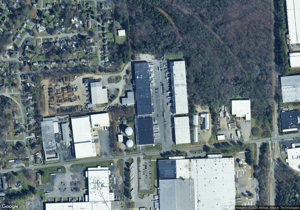
2828 Cofer Rd Richmond, VA 23224
Estimated Value: $4,290,272
Studio
--
Bath
150,646
Sq Ft
$28/Sq Ft
Est. Value
About This Home
This home is located at 2828 Cofer Rd, Richmond, VA 23224 and is currently estimated at $4,290,272, approximately $28 per square foot. 2828 Cofer Rd is a home located in Richmond City with nearby schools including Cardinal Elementary School, Richmond High School for the Arts, and Open High School.
Ownership History
Date
Name
Owned For
Owner Type
Purchase Details
Closed on
Jun 20, 2012
Sold by
Bpc United States Inc
Bought by
The 2828 Building Llc
Current Estimated Value
Home Financials for this Owner
Home Financials are based on the most recent Mortgage that was taken out on this home.
Original Mortgage
$825,000
Outstanding Balance
$570,411
Interest Rate
3.78%
Mortgage Type
Construction
Estimated Equity
$3,719,861
Purchase Details
Closed on
Apr 29, 2010
Sold by
Blue Ridge Paper Products Inc
Bought by
Bpc United States Inc
Create a Home Valuation Report for This Property
The Home Valuation Report is an in-depth analysis detailing your home's value as well as a comparison with similar homes in the area
Purchase History
| Date | Buyer | Sale Price | Title Company |
|---|---|---|---|
| The 2828 Building Llc | $1,550,000 | -- | |
| Bpc United States Inc | $2,731,193 | -- |
Source: Public Records
Mortgage History
| Date | Status | Borrower | Loan Amount |
|---|---|---|---|
| Open | The 2828 Building Llc | $825,000 |
Source: Public Records
Tax History
| Year | Tax Paid | Tax Assessment Tax Assessment Total Assessment is a certain percentage of the fair market value that is determined by local assessors to be the total taxable value of land and additions on the property. | Land | Improvement |
|---|---|---|---|---|
| 2025 | $70,920 | $5,944,000 | $740,000 | $5,204,000 |
| 2024 | $70,920 | $5,910,000 | $706,000 | $5,204,000 |
| 2023 | $70,500 | $5,875,000 | $671,000 | $5,204,000 |
| 2022 | $62,604 | $5,217,000 | $595,000 | $4,622,000 |
| 2020 | $21,528 | $4,348,000 | $496,000 | $3,852,000 |
| 2019 | $21,528 | $4,348,000 | $496,000 | $3,852,000 |
| 2018 | $19,752 | $4,200,000 | $496,000 | $3,704,000 |
| 2017 | $50,400 | $4,200,000 | $496,000 | $3,704,000 |
| 2016 | $48,144 | $4,012,000 | $362,000 | $3,650,000 |
| 2015 | $18,600 | $1,646,000 | $496,000 | $1,150,000 |
| 2014 | $18,600 | $1,550,000 | $496,000 | $1,054,000 |
Source: Public Records
Map
Nearby Homes
- 3017 Hiden Rd
- 3116 Maurice Ave
- 3028 Laurelbrook Dr
- 1411 Hopkins Rd
- 2405 Royall Ave
- 1500 Columbia St
- 3455 Mcguire Dr
- 2249 Formex St
- 2504 Harwood St
- 1313 Enfield Ave
- 2209 Wright Ave
- 2407 Concord Ave
- 2717 Terminal Ave
- 1408 Overlook St
- 3043 Terminal Ave
- 2315 Joplin Ave
- 1305 Overlook St
- 3079 Maury St
- 1700 Presson Blvd
- 3400 Irvington St
Your Personal Tour Guide
Ask me questions while you tour the home.