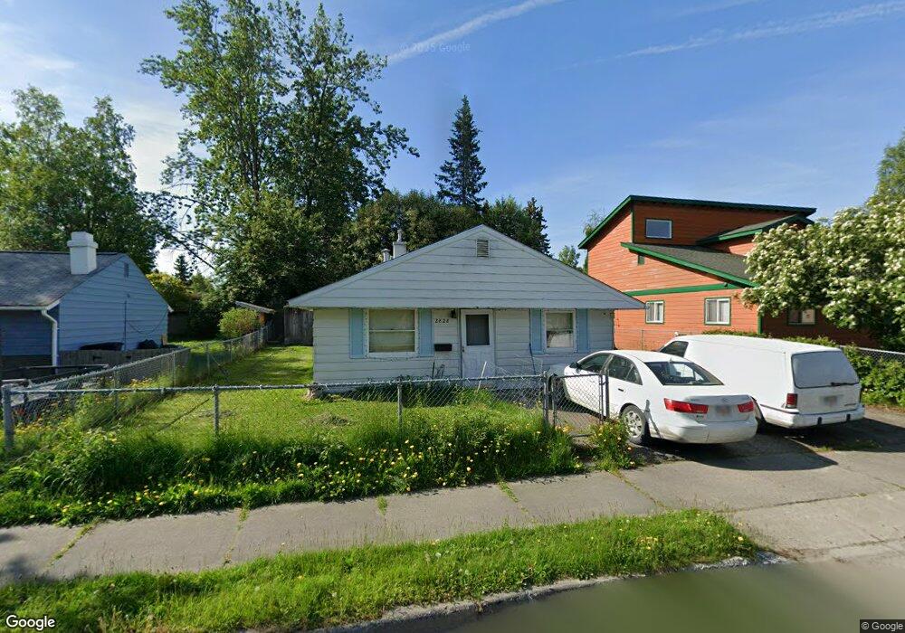
2828 E 20th Ave Anchorage, AK 99508
Airport Heights NeighborhoodEstimated Value: $180,000 - $324,000
3
Beds
1
Bath
988
Sq Ft
$263/Sq Ft
Est. Value
About This Home
This home is located at 2828 E 20th Ave, Anchorage, AK 99508 and is currently estimated at $259,810, approximately $262 per square foot. 2828 E 20th Ave is a home located in Anchorage Municipality with nearby schools including Airport Heights Elementary School, Wendler Middle School, and Bettye Davis East Anchorage High School.
Ownership History
Date
Name
Owned For
Owner Type
Purchase Details
Closed on
Apr 3, 2008
Sold by
Gross Edward Desmond
Bought by
Gross Michael Gregory
Current Estimated Value
Home Financials for this Owner
Home Financials are based on the most recent Mortgage that was taken out on this home.
Original Mortgage
$84,500
Interest Rate
6.22%
Mortgage Type
Purchase Money Mortgage
Create a Home Valuation Report for This Property
The Home Valuation Report is an in-depth analysis detailing your home's value as well as a comparison with similar homes in the area
Home Values in the Area
Average Home Value in this Area
Purchase History
| Date | Buyer | Sale Price | Title Company |
|---|---|---|---|
| Gross Michael Gregory | -- | Pacific Northwest Title Of A |
Source: Public Records
Mortgage History
| Date | Status | Borrower | Loan Amount |
|---|---|---|---|
| Closed | Gross Michael Gregory | $84,500 |
Source: Public Records
Tax History
| Year | Tax Paid | Tax Assessment Tax Assessment Total Assessment is a certain percentage of the fair market value that is determined by local assessors to be the total taxable value of land and additions on the property. | Land | Improvement |
|---|---|---|---|---|
| 2025 | $2,896 | $268,600 | $87,000 | $181,600 |
| 2024 | $2,896 | $254,400 | $87,000 | $167,400 |
| 2023 | $3,937 | $231,200 | $87,000 | $144,200 |
| 2022 | $3,126 | $232,000 | $87,000 | $145,000 |
| 2021 | $3,759 | $208,600 | $87,000 | $121,600 |
| 2020 | $2,848 | $209,700 | $87,000 | $122,700 |
| 2019 | $2,718 | $207,700 | $87,000 | $120,700 |
| 2018 | $2,655 | $202,400 | $81,700 | $120,700 |
| 2017 | $2,892 | $204,700 | $81,700 | $123,000 |
| 2016 | $2,277 | $191,500 | $70,200 | $121,300 |
| 2015 | $2,277 | $187,400 | $70,200 | $117,200 |
| 2014 | $2,277 | $179,200 | $62,100 | $117,100 |
Source: Public Records
Map
Nearby Homes
- 1703 Alder Dr
- 1701 Aleutian St
- 000 Tr A Thurston
- 3215 E 18th Cir
- 3514 E 19th Ave
- 2601 Darby Cir
- 1524 Rosemary St
- 2089 Cliffside Dr Unit 29B-6
- 2007 Parkview Cir
- 3401 E 15th Ave
- 1536 Valarian St
- 1913 Parkview Cir
- 3714 E 17th Ave
- 1625 Sitka St Unit 103
- 1620 Eastridge Dr Unit 203
- 2518 Crestwood St
- 3958 Reka Dr Unit A1
- 1715 Katrina Cir
- 4358 Reka Dr Unit 4358
- 1403 Nelchina St
- 2900 E 20th Ave
- 2818 E 20th Ave
- 2829 Aspen Grove Ct
- 2909 Aspen Grove Ct
- 2819 Aspen Grove Ct
- 2810 E 20th Ave
- 2000 Sunrise Dr
- 2018 Sunrise Dr
- 2811 Aspen Grove Ct
- 2815 E 20th Ave
- 2001 Alder Dr
- 2905 E 20th Ave
- 2017 Alder Dr
- 1925 Alder Dr
- 2828 Aspen Grove Ct
- 2908 Aspen Grove Ct
- 2818 Aspen Grove Ct
- 2011 Sunrise Dr
- 2001 Sunrise Dr
- 1930 Sunrise Dr
Your Personal Tour Guide
Ask me questions while you tour the home.