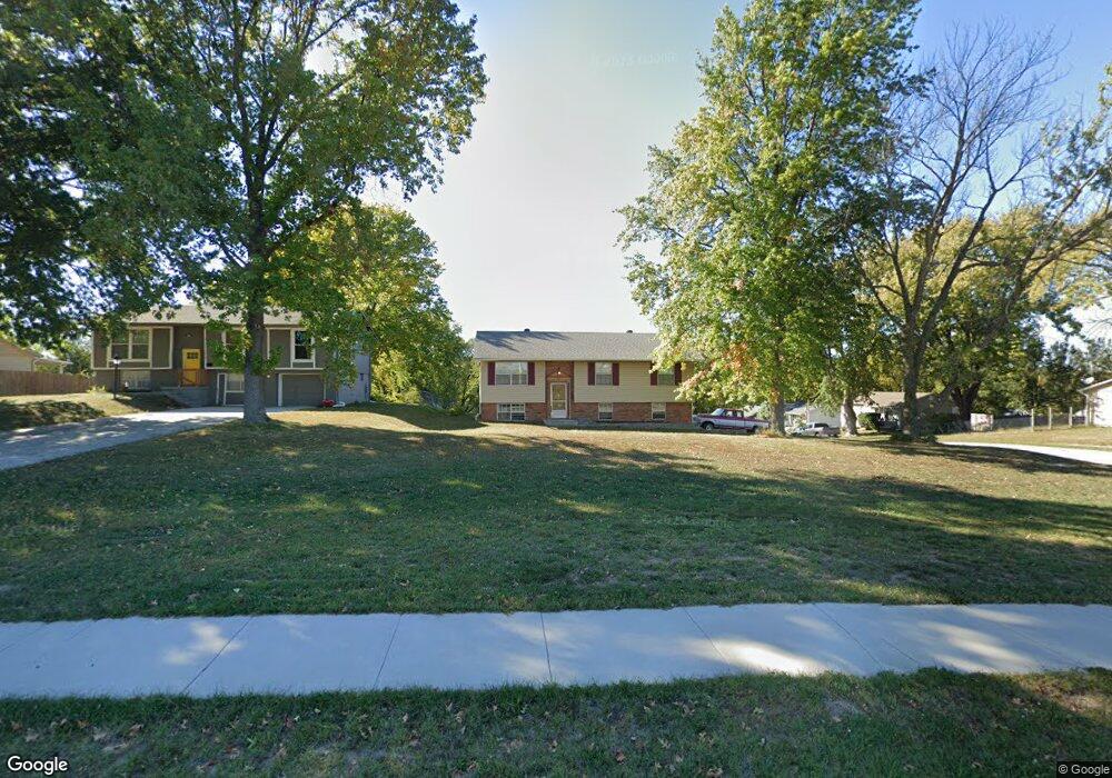
2828 Hutton Rd Kansas City, KS 66109
I-435 West KC-KS NeighborhoodEstimated Value: $269,224 - $312,000
3
Beds
2
Baths
1,122
Sq Ft
$262/Sq Ft
Est. Value
About This Home
This home is located at 2828 Hutton Rd, Kansas City, KS 66109 and is currently estimated at $293,806, approximately $261 per square foot. 2828 Hutton Rd is a home located in Wyandotte County with nearby schools including Piper Prairie Elementary School, Piper East Elementary School, and Piper Middle School.
Ownership History
Date
Name
Owned For
Owner Type
Purchase Details
Closed on
Sep 18, 2014
Sold by
Pretzl Karen R
Bought by
Pretzl Michael W
Current Estimated Value
Purchase Details
Closed on
Jun 20, 2003
Sold by
Huff June Joy
Bought by
Pretzl Michael W and Pretzl Karen L
Home Financials for this Owner
Home Financials are based on the most recent Mortgage that was taken out on this home.
Original Mortgage
$54,375
Outstanding Balance
$22,866
Interest Rate
5.23%
Mortgage Type
Stand Alone First
Estimated Equity
$270,940
Create a Home Valuation Report for This Property
The Home Valuation Report is an in-depth analysis detailing your home's value as well as a comparison with similar homes in the area
Home Values in the Area
Average Home Value in this Area
Purchase History
| Date | Buyer | Sale Price | Title Company |
|---|---|---|---|
| Pretzl Michael W | -- | None Available | |
| Pretzl Michael W | -- | Multiple |
Source: Public Records
Mortgage History
| Date | Status | Borrower | Loan Amount |
|---|---|---|---|
| Open | Pretzl Michael W | $54,375 | |
| Closed | Pretzl Michael W | $10,875 |
Source: Public Records
Tax History Compared to Growth
Tax History
| Year | Tax Paid | Tax Assessment Tax Assessment Total Assessment is a certain percentage of the fair market value that is determined by local assessors to be the total taxable value of land and additions on the property. | Land | Improvement |
|---|---|---|---|---|
| 2024 | $3,953 | $25,058 | $6,111 | $18,947 |
| 2023 | $4,368 | $25,461 | $7,684 | $17,777 |
| 2022 | $3,487 | $20,516 | $5,423 | $15,093 |
| 2021 | $2,737 | $16,312 | $4,848 | $11,464 |
| 2020 | $2,760 | $17,187 | $4,474 | $12,713 |
| 2019 | $2,829 | $16,914 | $4,333 | $12,581 |
| 2018 | $2,845 | $16,583 | $2,814 | $13,769 |
| 2017 | $2,293 | $13,583 | $2,814 | $10,769 |
| 2016 | $2,249 | $13,187 | $2,814 | $10,373 |
| 2015 | $2,246 | $12,928 | $2,814 | $10,114 |
| 2014 | $2,214 | $12,675 | $2,814 | $9,861 |
Source: Public Records
Map
Nearby Homes
- 2801 N 112th St
- 2600 N 109 St
- The Redbud Plan at Whispering Ridge - Swanson Farm at Whispering Ridge
- The Oakmont Plan at Whispering Ridge - Swanson Farm at Whispering Ridge
- 2751 N 112th St
- 3109 N 110th St
- 11201 Georgia Ave
- 11147 Rowland Ave
- 11143 Nogard Ave
- 2544 N 111th Ct
- 2538 N 111th Ct
- 2532 N 111th Ct
- 11303 Yecker Ave
- 3212 N 110th St
- 11150 Nogard Ave
- 2512 N 106th St
- 2328 N 111th Ct
- 11209 Nogard Ave
- 3225 N 109th Place
- 11332 Yecker Ave
- 2818 Hutton Rd
- 10911 Kimball Ave
- 2840 Hutton Rd
- 2812 Hutton Rd
- 10917 Kimball Ave
- 10910 Kimball Ave
- 10916 Kimball Ave
- 2806 Hutton Rd
- 2815 N 109th St
- 2825 N 109th St
- 10920 Kimball Ave
- 2803 N 109th St
- 2906 Hutton Rd
- 2800 Hutton Rd
- 2807 N 109th St
- 3152 N 109th St
- 10928 Kimball Ave
- 2757 N 109th St
- 2758 Hutton Rd
- 2820 New Market Ave