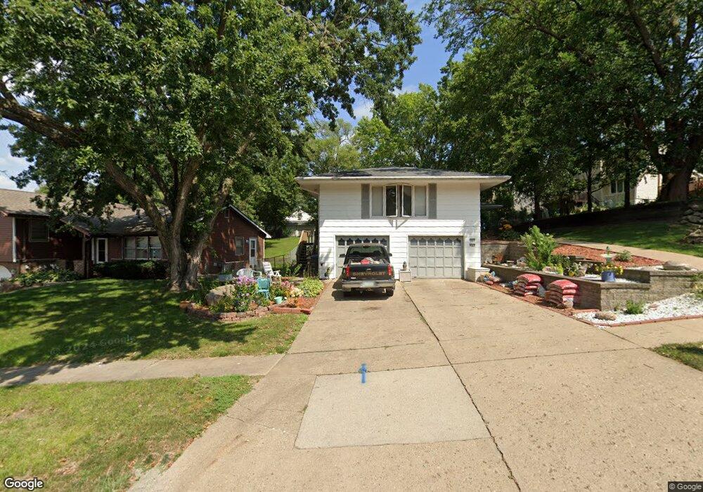
2829 67th St Des Moines, IA 50322
Merle Hay NeighborhoodEstimated Value: $264,000 - $327,000
4
Beds
3
Baths
1,872
Sq Ft
$160/Sq Ft
Est. Value
About This Home
This home is located at 2829 67th St, Des Moines, IA 50322 and is currently estimated at $298,767, approximately $159 per square foot. 2829 67th St is a home located in Polk County with nearby schools including Hillis Elementary School, Meredith Middle School, and Hoover High School.
Ownership History
Date
Name
Owned For
Owner Type
Purchase Details
Closed on
Jun 4, 2025
Sold by
Lockner Terry E and Lockner Joan K
Bought by
Lockner Terry E and Lockner Joan K
Current Estimated Value
Purchase Details
Closed on
Mar 8, 2012
Sold by
Lockner Terry E and Lockner Joan K Ellis
Bought by
Lockner Terry E and Lockner Joan K Ellis
Purchase Details
Closed on
Mar 12, 1999
Sold by
Crawford Gerald W
Bought by
Lockner Terry E
Home Financials for this Owner
Home Financials are based on the most recent Mortgage that was taken out on this home.
Original Mortgage
$84,000
Interest Rate
6.62%
Purchase Details
Closed on
Mar 29, 1997
Sold by
Davis A Arthur
Bought by
Davis A Arthur
Create a Home Valuation Report for This Property
The Home Valuation Report is an in-depth analysis detailing your home's value as well as a comparison with similar homes in the area
Home Values in the Area
Average Home Value in this Area
Purchase History
| Date | Buyer | Sale Price | Title Company |
|---|---|---|---|
| Lockner Terry E | -- | None Listed On Document | |
| Lockner Terry E | -- | None Listed On Document | |
| Lockner Terry E | -- | None Available | |
| Lockner Terry E | $104,500 | -- | |
| Davis A Arthur | -- | -- |
Source: Public Records
Mortgage History
| Date | Status | Borrower | Loan Amount |
|---|---|---|---|
| Previous Owner | Lockner Terry E | $84,000 |
Source: Public Records
Tax History Compared to Growth
Tax History
| Year | Tax Paid | Tax Assessment Tax Assessment Total Assessment is a certain percentage of the fair market value that is determined by local assessors to be the total taxable value of land and additions on the property. | Land | Improvement |
|---|---|---|---|---|
| 2025 | $5,052 | $289,200 | $51,500 | $237,700 |
| 2024 | $5,052 | $264,900 | $46,500 | $218,400 |
| 2023 | $5,016 | $264,900 | $46,500 | $218,400 |
| 2022 | $4,974 | $219,800 | $40,500 | $179,300 |
| 2021 | $4,846 | $219,800 | $40,500 | $179,300 |
| 2020 | $5,026 | $201,100 | $36,900 | $164,200 |
| 2019 | $4,680 | $201,100 | $36,900 | $164,200 |
| 2018 | $4,624 | $181,100 | $32,500 | $148,600 |
| 2017 | $4,270 | $181,100 | $32,500 | $148,600 |
| 2016 | $4,148 | $165,100 | $29,000 | $136,100 |
| 2015 | $4,148 | $165,100 | $29,000 | $136,100 |
| 2014 | $3,692 | $146,800 | $25,700 | $121,100 |
Source: Public Records
Map
Nearby Homes
- 2729 67th St
- 2708 68th St
- 6620 Boston Ave
- 6700 Sheridan Ave
- 3206 68th St
- 2610 Westover Blvd
- 6316 Clearview Cir
- 3233 68th St
- 2623 63rd St
- 7005 Sheridan Cir
- 7051 Oak Brook Dr
- 6717 Roseland Dr
- 3116 61st St
- 7004 Holcomb Ave
- 6614 Oliver Smith Dr
- 2621 60th St
- 3320 61st St
- 5820 Urbandale Ave
- 2325 61st St
- 3512 62nd St
- 2835 67th St
- 6613 New York Cir
- 6609 New York Cir
- 2900 Westover Blvd
- 2901 67th St
- 6605 New York Cir
- 2826 67th St
- 2828 & 2826 67th St
- 2828 67th St
- 2905 67th St
- 2810 67th St
- 6700 Sherrick Ave
- 6700 Sherrick Ave Unit 1
- 6601 New York Cir
- 2751 67th St
- 2800 67th St
- 2908 67th St
- 6600 New York Cir
- 6606 New York Cir
- 2750 67th St