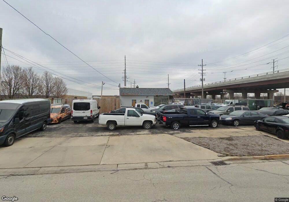
2829 W Cermak Rd Broadview, IL 60155
--
Bed
--
Bath
--
Sq Ft
4,400
Sq Ft Lot
About This Home
This home is located at 2829 W Cermak Rd, Broadview, IL 60155. 2829 W Cermak Rd is a home located in Cook County with nearby schools including Westchester Primary School, Westchester Intermediate School, and Westchester Middle School.
Ownership History
Date
Name
Owned For
Owner Type
Purchase Details
Closed on
Jan 30, 2008
Sold by
West Suburban Bank
Bought by
Paredes Antonio and Dukes Charles
Home Financials for this Owner
Home Financials are based on the most recent Mortgage that was taken out on this home.
Original Mortgage
$280,000
Interest Rate
6.11%
Mortgage Type
Commercial
Purchase Details
Closed on
Jan 27, 2003
Sold by
Blackhawk Equipment Inc
Bought by
West Suburban Bank and Trust #12353
Home Financials for this Owner
Home Financials are based on the most recent Mortgage that was taken out on this home.
Original Mortgage
$200,000
Interest Rate
6.01%
Mortgage Type
Commercial
Purchase Details
Closed on
Mar 15, 1997
Sold by
Palekas Loretta
Bought by
Blackhawk Equipment Inc
Create a Home Valuation Report for This Property
The Home Valuation Report is an in-depth analysis detailing your home's value as well as a comparison with similar homes in the area
Home Values in the Area
Average Home Value in this Area
Purchase History
| Date | Buyer | Sale Price | Title Company |
|---|---|---|---|
| Paredes Antonio | $381,000 | Git | |
| West Suburban Bank | $260,000 | Cti | |
| Blackhawk Equipment Inc | $25,000 | -- |
Source: Public Records
Mortgage History
| Date | Status | Borrower | Loan Amount |
|---|---|---|---|
| Closed | Paredes Antonio | $280,000 | |
| Previous Owner | West Suburban Bank | $200,000 |
Source: Public Records
Tax History Compared to Growth
Tax History
| Year | Tax Paid | Tax Assessment Tax Assessment Total Assessment is a certain percentage of the fair market value that is determined by local assessors to be the total taxable value of land and additions on the property. | Land | Improvement |
|---|---|---|---|---|
| 2024 | $4,446 | $15,427 | $15,421 | $6 |
| 2023 | $5,140 | $15,449 | $15,421 | $28 |
| 2022 | $5,140 | $14,887 | $14,859 | $28 |
| 2021 | $4,937 | $14,886 | $14,859 | $27 |
| 2020 | $5,149 | $15,972 | $15,421 | $551 |
| 2019 | $4,893 | $14,319 | $13,768 | $551 |
| 2018 | $4,755 | $14,319 | $13,768 | $551 |
| 2017 | $4,692 | $14,319 | $13,768 | $551 |
| 2016 | $4,800 | $13,769 | $13,218 | $551 |
| 2015 | $4,750 | $13,769 | $13,218 | $551 |
| 2014 | $4,635 | $13,769 | $13,218 | $551 |
| 2013 | $4,174 | $13,769 | $13,218 | $551 |
Source: Public Records
Map
Nearby Homes
- 1900 Manchester Ave
- 1840 Gardner Rd
- 1907 Suffolk Ave
- 1813 Manchester Ave
- 1816 Manchester Ave
- 213 Pine Tree Ln
- 1847 Newcastle Ave
- 205 Huntington Ct
- 1500 Bristol Ave
- 2246 S 18th Ave
- 1803 Balmoral Ave
- 1518 Cleveland Ave
- 1427 Homestead Rd Unit H
- 4 Garden Dr Unit 4
- 1436 Kemman Ave
- 1406 Portsmouth Ave
- 1445 Morgan Ave
- 1427 Cleveland Ave
- 2440 S 20th Ave
- 2204 W 14th St
- 2140 Gardner Rd
- 2140 Gardner Rd
- 2134 Gardner Rd
- 2122 Gardner Rd
- 2122 Gardner Rd
- 2913 Gardner Rd
- 2118 Gardner Rd
- 2118 Gardner Rd
- 2143 Bristol Ave
- 2114 Gardner Rd
- 2137 Bristol Ave
- 2105 Gardner Rd
- 2125 Bristol Ave
- 2110 Gardner Rd
- 2119 Bristol Ave
- 2104 Gardner Rd
- 2113 Bristol Ave
- 2103 Gardner Rd
- 2100 Gardner Rd