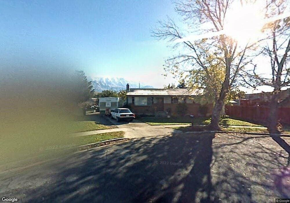
283 Barrett Cir American Fork, UT 84003
Estimated Value: $439,472 - $497,000
3
Beds
1
Bath
1,066
Sq Ft
$436/Sq Ft
Est. Value
About This Home
This home is located at 283 Barrett Cir, American Fork, UT 84003 and is currently estimated at $464,868, approximately $436 per square foot. 283 Barrett Cir is a home located in Utah County with nearby schools including Greenwood Elementary School, American Fork Junior High School, and American Fork High School.
Ownership History
Date
Name
Owned For
Owner Type
Purchase Details
Closed on
Aug 23, 2005
Sold by
Fausett Randall D and Fausett Sherie L
Bought by
Fausett Sherie L
Current Estimated Value
Home Financials for this Owner
Home Financials are based on the most recent Mortgage that was taken out on this home.
Original Mortgage
$103,000
Interest Rate
5.61%
Mortgage Type
New Conventional
Create a Home Valuation Report for This Property
The Home Valuation Report is an in-depth analysis detailing your home's value as well as a comparison with similar homes in the area
Home Values in the Area
Average Home Value in this Area
Purchase History
| Date | Buyer | Sale Price | Title Company |
|---|---|---|---|
| Fausett Sherie L | -- | First American Title Agency |
Source: Public Records
Mortgage History
| Date | Status | Borrower | Loan Amount |
|---|---|---|---|
| Closed | Fausett Sherie L | $103,000 |
Source: Public Records
Tax History Compared to Growth
Tax History
| Year | Tax Paid | Tax Assessment Tax Assessment Total Assessment is a certain percentage of the fair market value that is determined by local assessors to be the total taxable value of land and additions on the property. | Land | Improvement |
|---|---|---|---|---|
| 2025 | $1,835 | $224,510 | $195,700 | $212,500 |
| 2024 | $1,835 | $203,940 | $0 | $0 |
| 2023 | $1,748 | $205,865 | $0 | $0 |
| 2022 | $1,794 | $208,560 | $0 | $0 |
| 2021 | $1,475 | $267,800 | $122,900 | $144,900 |
| 2020 | $1,385 | $243,900 | $109,700 | $134,200 |
| 2019 | $1,186 | $216,100 | $99,400 | $116,700 |
| 2018 | $1,115 | $194,100 | $92,600 | $101,500 |
| 2017 | $1,018 | $95,700 | $0 | $0 |
| 2016 | $972 | $84,865 | $0 | $0 |
| 2015 | $939 | $77,825 | $0 | $0 |
| 2014 | $952 | $77,825 | $0 | $0 |
Source: Public Records
Map
Nearby Homes
- 271 S Barratt Cir
- 382 W 330 S
- 316 W 390 S
- 365 W 370 S
- 391 W 370 S
- 368 S Storrs Ct Unit 107
- 429 S Storrs Ave
- 424 S 340 W
- 412 S 390 W
- 351 Washington Ave
- 82 S Lincoln Ave
- 55 Roosevelt Ave
- 195 S Center St
- 217 W Main St
- 65 E 400 S Unit 8
- 120 N 350 W Unit 133
- 120 N 350 W Unit 130
- 326 S 650 W
- 129 W Pacific Dr
- 304 S 680 W
- 271 S Barratt Cir
- 271 Barrett Cir
- 284 Storrs Ave
- 284 W 300 S
- 262 W 300 S
- 286 Barrett Cir
- 274 Barrett Cir
- 306 W 300 S
- 295 Storrs Ave Unit 1B
- 275 W 300 S
- 275 W 300 S Unit .17
- 297 W 300 S
- 306 Storrs Ave
- 285 Clegg Cir
- 287 Storrs Ave Unit 1A
- 301 W 300 S
- 320 W 300 S
- 273 Clegg Cir
- 242 W 310 S Unit 2A
- 311 W 300 S