283 Main Poland Rd Conway, MA 01341
Estimated Value: $440,000 - $599,000
3
Beds
2
Baths
1,555
Sq Ft
$334/Sq Ft
Est. Value
About This Home
This home is located at 283 Main Poland Rd, Conway, MA 01341 and is currently estimated at $519,114, approximately $333 per square foot. 283 Main Poland Rd is a home located in Franklin County with nearby schools including Frontier Regional School.
Ownership History
Date
Name
Owned For
Owner Type
Purchase Details
Closed on
Jun 25, 1997
Sold by
Elizabeth W Borton T and Borton Anthony
Bought by
Hebert Lisa A and Mcneely Regina M
Current Estimated Value
Home Financials for this Owner
Home Financials are based on the most recent Mortgage that was taken out on this home.
Original Mortgage
$119,700
Outstanding Balance
$17,626
Interest Rate
7.81%
Mortgage Type
Purchase Money Mortgage
Estimated Equity
$501,488
Create a Home Valuation Report for This Property
The Home Valuation Report is an in-depth analysis detailing your home's value as well as a comparison with similar homes in the area
Home Values in the Area
Average Home Value in this Area
Purchase History
| Date | Buyer | Sale Price | Title Company |
|---|---|---|---|
| Hebert Lisa A | $133,000 | -- |
Source: Public Records
Mortgage History
| Date | Status | Borrower | Loan Amount |
|---|---|---|---|
| Closed | Hebert Lisa A | $45,000 | |
| Open | Hebert Lisa A | $119,700 |
Source: Public Records
Tax History Compared to Growth
Tax History
| Year | Tax Paid | Tax Assessment Tax Assessment Total Assessment is a certain percentage of the fair market value that is determined by local assessors to be the total taxable value of land and additions on the property. | Land | Improvement |
|---|---|---|---|---|
| 2025 | $7,787 | $539,300 | $80,400 | $458,900 |
| 2024 | $6,170 | $376,200 | $73,100 | $303,100 |
| 2023 | $6,452 | $376,200 | $73,100 | $303,100 |
| 2022 | $6,300 | $351,000 | $67,900 | $283,100 |
| 2021 | $6,194 | $330,700 | $64,600 | $266,100 |
| 2020 | $6,063 | $323,200 | $64,600 | $258,600 |
| 2019 | $6,028 | $323,200 | $64,600 | $258,600 |
| 2018 | $5,937 | $320,900 | $64,600 | $256,300 |
| 2017 | $5,696 | $320,900 | $64,600 | $256,300 |
| 2016 | $5,288 | $317,000 | $56,400 | $260,600 |
| 2015 | $3,575 | $221,100 | $56,400 | $164,700 |
Source: Public Records
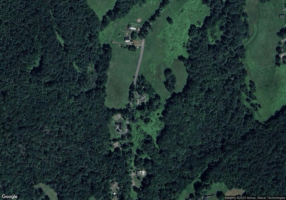
Map
Nearby Homes
- 0 Pleasant St
- 14 River St
- 473 N Poland Rd
- lot 1 Shelburne Falls Rd
- 85 Dacey Rd
- 1531 Williamsburg Rd
- 230 S Ashfield Rd
- 71 Mathews Rd
- 240 Beldingville Rd
- 820 E Guinea Rd
- 30 Lee Rd
- 0 Sears Rd Unit 73373850
- 208 Greenfield Rd
- 345 Greenfield Rd
- 24 Elm St
- 220 Hawley Rd
- 0 North St Unit 73407299
- 32 Swamp Rd
- 102 Elm St
- 13 Capt Lathrop Dr
- 320 Main Poland Rd
- 336 Main Poland Rd
- 234 Main Poland Rd
- 361 Main Poland Rd
- 100 Adams Rd
- 86 Adams Rd
- 134 Main Poland Rd
- 421 Main Poland Rd
- 48 Manning Rd
- 40 Manning Rd
- 30 Manning Rd
- 94 Main Poland Rd
- 120 Main Poland Rd
- 396 Main Poland Rd
- 46 Main Poland Rd
- 10 Manning Rd
- 516 Main Poland Rd
- 166 Orchard St
- 127 Orchard St
- 0000 Maggie Bean Dr