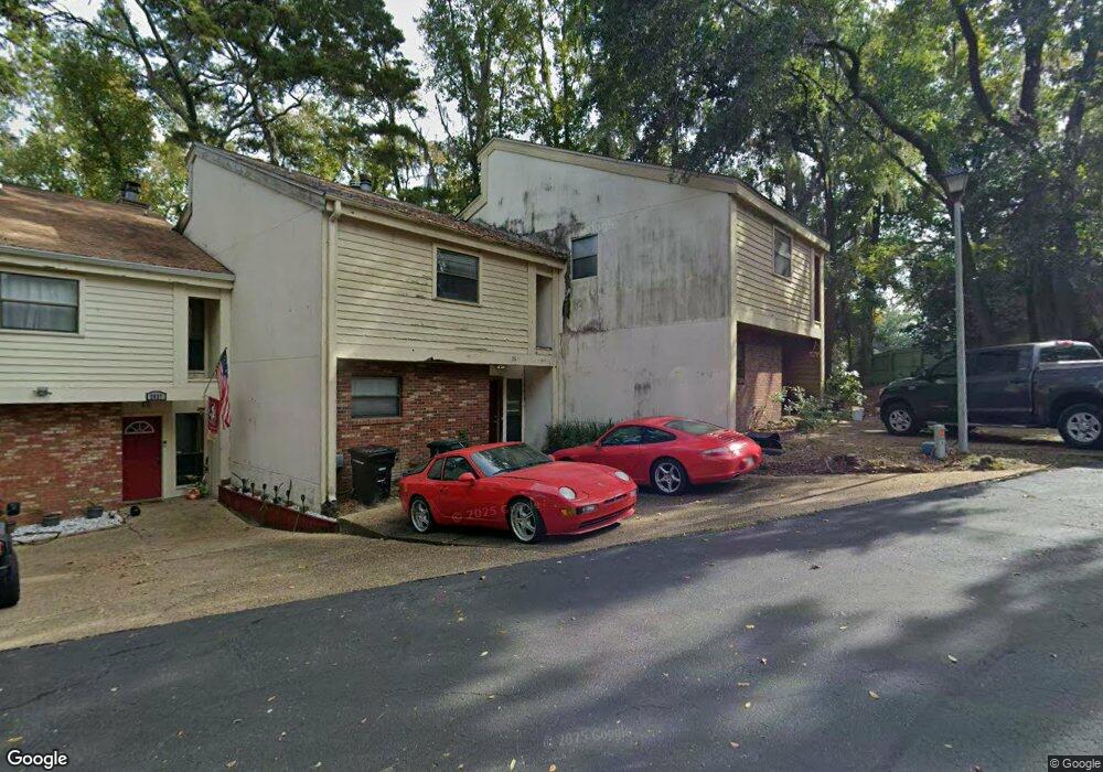
2831 Par Ln Unit 1 Tallahassee, FL 32301
Hilaman NeighborhoodEstimated Value: $190,527 - $212,000
3
Beds
4
Baths
1,648
Sq Ft
$125/Sq Ft
Est. Value
About This Home
This home is located at 2831 Par Ln Unit 1, Tallahassee, FL 32301 and is currently estimated at $206,132, approximately $125 per square foot. 2831 Par Ln Unit 1 is a home located in Leon County with nearby schools including J. Michael Conley Elementary School at Southwood, Fairview Middle School, and James Rickards High School.
Ownership History
Date
Name
Owned For
Owner Type
Purchase Details
Closed on
Nov 26, 2002
Sold by
Rhoads Richard
Bought by
Banner Shawn
Current Estimated Value
Home Financials for this Owner
Home Financials are based on the most recent Mortgage that was taken out on this home.
Original Mortgage
$94,090
Outstanding Balance
$40,590
Interest Rate
6.3%
Mortgage Type
Purchase Money Mortgage
Estimated Equity
$165,542
Create a Home Valuation Report for This Property
The Home Valuation Report is an in-depth analysis detailing your home's value as well as a comparison with similar homes in the area
Home Values in the Area
Average Home Value in this Area
Purchase History
| Date | Buyer | Sale Price | Title Company |
|---|---|---|---|
| Banner Shawn | $97,000 | -- |
Source: Public Records
Mortgage History
| Date | Status | Borrower | Loan Amount |
|---|---|---|---|
| Open | Banner Shawn | $94,090 |
Source: Public Records
Tax History Compared to Growth
Tax History
| Year | Tax Paid | Tax Assessment Tax Assessment Total Assessment is a certain percentage of the fair market value that is determined by local assessors to be the total taxable value of land and additions on the property. | Land | Improvement |
|---|---|---|---|---|
| 2025 | $1,844 | $139,530 | -- | -- |
| 2024 | $3,035 | $157,753 | $26,000 | $131,753 |
| 2023 | $2,835 | $145,889 | $0 | $0 |
| 2022 | $2,521 | $138,020 | $26,000 | $112,020 |
| 2021 | $2,521 | $122,664 | $26,000 | $96,664 |
| 2020 | $2,073 | $109,608 | $24,000 | $85,608 |
| 2019 | $1,941 | $101,567 | $20,000 | $81,567 |
| 2018 | $1,823 | $94,486 | $17,500 | $76,986 |
| 2017 | $1,736 | $88,917 | $0 | $0 |
| 2016 | $1,644 | $83,031 | $0 | $0 |
| 2015 | $1,543 | $77,860 | $0 | $0 |
| 2014 | $1,543 | $77,408 | $0 | $0 |
Source: Public Records
Map
Nearby Homes
- 2885 Par Ln Unit A
- 3104 Oak Hammock Ln Unit U
- 1829 Nicklaus Dr Unit B
- 1550 Kay Ave Unit 3
- 1924 Darryl Dr Unit A
- 1728 Beechwood Cir N
- 1861 Larette Dr Unit B
- 3036 Blair Stone Ct
- 1561 Jacks Dr Unit B
- 1740 Brookside Blvd
- 1515 Jacks Dr
- 2778 Red Maple Ridge
- 1575 Paul Russell Rd Unit 2704
- 1575 Paul Russell Rd Unit 1401
- 1699 Silverwood Dr
- 1512 Wekewa Nene
- 1693 Silverwood Dr
- 2225 Orange Ave E
- 1529 Live Oak Dr
- 1529 Live Oak Dr Unit A
- 2829 Par Ln Unit 2
- 2851 Par Ln Unit C
- 2851 Par Ln Unit B
- 2851 Par Ln Unit A
- 2851 Par Ln
- 2827 Par Ln
- 2825 Par Ln
- 2869 Par Ln
- 2869 Par Ln Unit C
- 2869 Par Ln Unit B
- 2869 Par Ln Unit A
- 2869 Par Ln Unit D
- 2823 Par Ln
- 2821 Par Ln Unit 6
- 2821 Par Ln
- 2885 Par Ln Unit A
- 2819 Par Ln Unit 7
- 2819 Par Ln
- 2885 Par Ln Unit B
- 2885 Par Ln Unit C