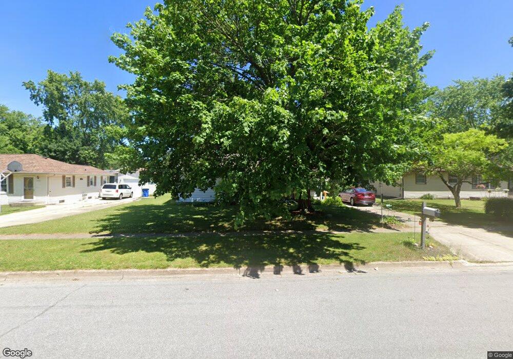
2832 Random Rd Kalamazoo, MI 49004
Burke Acres NeighborhoodEstimated Value: $186,000 - $204,837
3
Beds
1
Bath
1,040
Sq Ft
$189/Sq Ft
Est. Value
About This Home
This home is located at 2832 Random Rd, Kalamazoo, MI 49004 and is currently estimated at $196,709, approximately $189 per square foot. 2832 Random Rd is a home located in Kalamazoo County with nearby schools including Spring Valley Center for Exploration, Hillside Middle School, and Kalamazoo Central High School.
Ownership History
Date
Name
Owned For
Owner Type
Purchase Details
Closed on
Jun 27, 2003
Sold by
Mccormick Tom and Mccormick Catherine
Bought by
Plair James and Plair Carnice
Current Estimated Value
Home Financials for this Owner
Home Financials are based on the most recent Mortgage that was taken out on this home.
Original Mortgage
$90,250
Interest Rate
6.49%
Mortgage Type
Purchase Money Mortgage
Purchase Details
Closed on
Mar 14, 2003
Sold by
Fredenburg T Ashton and Fredenburg Mary Ellen
Bought by
Mccormick Tom and Mccormick Catherine
Create a Home Valuation Report for This Property
The Home Valuation Report is an in-depth analysis detailing your home's value as well as a comparison with similar homes in the area
Home Values in the Area
Average Home Value in this Area
Purchase History
| Date | Buyer | Sale Price | Title Company |
|---|---|---|---|
| Plair James | $95,000 | Chicago Title | |
| Mccormick Tom | $66,000 | Chicago Title | |
| Mccormick Tom | -- | Chicago Title |
Source: Public Records
Mortgage History
| Date | Status | Borrower | Loan Amount |
|---|---|---|---|
| Previous Owner | Plair James | $90,250 |
Source: Public Records
Tax History Compared to Growth
Tax History
| Year | Tax Paid | Tax Assessment Tax Assessment Total Assessment is a certain percentage of the fair market value that is determined by local assessors to be the total taxable value of land and additions on the property. | Land | Improvement |
|---|---|---|---|---|
| 2025 | $2,513 | $94,800 | $0 | $0 |
| 2024 | $1,403 | $89,000 | $0 | $0 |
| 2023 | $1,337 | $79,300 | $0 | $0 |
| 2022 | $2,279 | $68,700 | $0 | $0 |
| 2021 | $2,203 | $63,000 | $0 | $0 |
| 2020 | $2,158 | $57,900 | $0 | $0 |
| 2019 | $2,057 | $50,900 | $0 | $0 |
| 2018 | $2,742 | $46,000 | $0 | $0 |
| 2017 | $2,130 | $44,500 | $0 | $0 |
| 2016 | $2,130 | $40,700 | $0 | $0 |
| 2015 | $2,130 | $38,800 | $0 | $0 |
| 2014 | $2,130 | $40,100 | $0 | $0 |
Source: Public Records
Map
Nearby Homes
- 3104 Courtlandt Ave
- 3022 Virginia Ave
- 2921 Virginia Ave
- 2215 Brook Dr
- 2356 Mount Olivet Rd
- 2606 Cimarron Dr
- 2535 Gull Rd
- 124 Haymac Dr
- 2507 Laredo St
- 2820 Asbury Ave
- 2228 Regent St
- 2105 Gull Rd
- 248 Devon Ave
- 1042 E Mosel Ave
- 1727 Sunnyside Dr
- 4020 Mead St
- 267 Parchmount Ave
- 3011 Riverview Dr
- 229 Parchmount Ave
- 134 Glendale Blvd