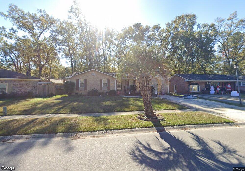
2833 Nantuckett Ave North Charleston, SC 29420
Woodstock NeighborhoodEstimated Value: $275,000 - $370,000
4
Beds
4
Baths
2,275
Sq Ft
$142/Sq Ft
Est. Value
About This Home
This home is located at 2833 Nantuckett Ave, North Charleston, SC 29420 and is currently estimated at $322,634, approximately $141 per square foot. 2833 Nantuckett Ave is a home located in Charleston County with nearby schools including Pepperhill Elementary School, Northwoods Middle, and R.B. Stall High School.
Ownership History
Date
Name
Owned For
Owner Type
Purchase Details
Closed on
Jan 10, 2014
Sold by
Smalls Jerome A and Smalls Lucrezia B
Bought by
Greer Shirlene E
Current Estimated Value
Home Financials for this Owner
Home Financials are based on the most recent Mortgage that was taken out on this home.
Original Mortgage
$108,640
Outstanding Balance
$82,143
Interest Rate
4.43%
Mortgage Type
New Conventional
Estimated Equity
$240,491
Purchase Details
Closed on
Aug 8, 2006
Sold by
Wolaver Allen G and Wolaver Joyce D
Bought by
Smalls Jerome A and Smalls Lucrezia B
Create a Home Valuation Report for This Property
The Home Valuation Report is an in-depth analysis detailing your home's value as well as a comparison with similar homes in the area
Home Values in the Area
Average Home Value in this Area
Purchase History
| Date | Buyer | Sale Price | Title Company |
|---|---|---|---|
| Greer Shirlene E | $112,000 | -- | |
| Smalls Jerome A | $193,000 | None Available |
Source: Public Records
Mortgage History
| Date | Status | Borrower | Loan Amount |
|---|---|---|---|
| Open | Greer Shirlene E | $108,640 |
Source: Public Records
Tax History Compared to Growth
Tax History
| Year | Tax Paid | Tax Assessment Tax Assessment Total Assessment is a certain percentage of the fair market value that is determined by local assessors to be the total taxable value of land and additions on the property. | Land | Improvement |
|---|---|---|---|---|
| 2024 | $900 | $5,150 | $0 | $0 |
| 2023 | $900 | $5,150 | $0 | $0 |
| 2022 | $844 | $5,150 | $0 | $0 |
| 2021 | $874 | $5,150 | $0 | $0 |
| 2020 | $895 | $5,150 | $0 | $0 |
| 2019 | $802 | $4,480 | $0 | $0 |
| 2017 | $745 | $4,480 | $0 | $0 |
| 2016 | $721 | $4,480 | $0 | $0 |
| 2015 | $752 | $4,480 | $0 | $0 |
| 2014 | $794 | $0 | $0 | $0 |
| 2011 | -- | $0 | $0 | $0 |
Source: Public Records
Map
Nearby Homes
- 8038 Kittery Ave
- 8004 Malden Ave
- 8020 Nantuckett Ave
- 2831 Chicopee Dr
- 2920 Newport Place
- 3072 Nantuckett Ave
- 2957 Newport Place
- 8074 Long Shadow Ln
- 2705 Oak Leaf Dr
- 8016 Hyannis Ct
- 3004 Nantuckett Ave
- 7759 Discovery Rd
- 8222 Greenridge Rd
- 2656 Delhi Rd
- 8286 Delhi Rd
- 8320 Glenford Rd
- 8131 Waltham Rd
- 8185 Little Sydneys Way
- 8542 Bentwood Dr
- 3037 Brigham Ct
- 2839 Nantuckett Ave
- 2827 Nantuckett Ave
- 2832 Glouster St
- 8047 Malden Ave
- 2845 Nantuckett Ave
- 2840 Glouster St
- 2818 Nantuckett Ave
- 2832 Nantuckett Ave
- 2846 Glouster St
- 2822 Nantuckett Ave
- 2851 Nantuckett Ave
- 2844 Nantuckett Ave
- 2815 Nantuckett Ave
- 8040 Malden Ave
- 2854 Glouster St
- 8042 Malden Ave
- 2857 Nantuckett Ave
- 2852 Nantuckett Ave
- 2814 Nantuckett Ave
- 2837 Glouster St