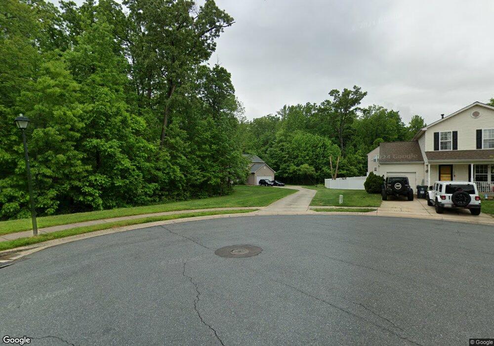
2833 Profitt Path Edgewood, MD 21040
Estimated Value: $389,000 - $445,000
4
Beds
3
Baths
1,880
Sq Ft
$223/Sq Ft
Est. Value
About This Home
This home is located at 2833 Profitt Path, Edgewood, MD 21040 and is currently estimated at $418,998, approximately $222 per square foot. 2833 Profitt Path is a home located in Harford County with nearby schools including Deerfield Elementary School, Edgewood Middle School, and Edgewood High School.
Ownership History
Date
Name
Owned For
Owner Type
Purchase Details
Closed on
Dec 6, 2014
Sold by
Morneault Edward J and Morneault Keisha Nakai
Bought by
Morneault Edward J
Current Estimated Value
Purchase Details
Closed on
Jun 19, 2009
Sold by
Morgan Brock M
Bought by
Morneault Edward J and Morneault Keisha Nakai
Home Financials for this Owner
Home Financials are based on the most recent Mortgage that was taken out on this home.
Original Mortgage
$281,350
Outstanding Balance
$179,836
Interest Rate
5.31%
Estimated Equity
$239,162
Purchase Details
Closed on
Aug 13, 2003
Sold by
Ryland Group Inc The
Bought by
Morgan Brock M
Create a Home Valuation Report for This Property
The Home Valuation Report is an in-depth analysis detailing your home's value as well as a comparison with similar homes in the area
Home Values in the Area
Average Home Value in this Area
Purchase History
| Date | Buyer | Sale Price | Title Company |
|---|---|---|---|
| Morneault Edward J | -- | North American Title Ins Co | |
| Morneault Edward J | $281,350 | -- | |
| Morgan Brock M | $222,156 | -- |
Source: Public Records
Mortgage History
| Date | Status | Borrower | Loan Amount |
|---|---|---|---|
| Open | Morneault Edward J | $281,350 | |
| Closed | Morgan Brock M | -- |
Source: Public Records
Tax History
| Year | Tax Paid | Tax Assessment Tax Assessment Total Assessment is a certain percentage of the fair market value that is determined by local assessors to be the total taxable value of land and additions on the property. | Land | Improvement |
|---|---|---|---|---|
| 2025 | -- | $300,500 | $0 | $0 |
| 2024 | $140 | $280,300 | $0 | $0 |
| 2023 | -- | $260,100 | $76,100 | $184,000 |
| 2022 | $2,755 | $252,733 | $0 | $0 |
| 2021 | $0 | $245,367 | $0 | $0 |
| 2020 | $140 | $238,000 | $76,100 | $161,900 |
| 2019 | $140 | $235,067 | $0 | $0 |
| 2018 | $140 | $232,133 | $0 | $0 |
| 2017 | $140 | $229,200 | $0 | $0 |
| 2016 | $140 | $229,200 | $0 | $0 |
| 2015 | $3,330 | $229,200 | $0 | $0 |
| 2014 | $3,330 | $242,000 | $0 | $0 |
Source: Public Records
Map
Nearby Homes
- 2804 Captains Cove Ct
- 2935 Ancon Ct
- 2909 Willoughby Beach Rd
- 400 Bauers Dr
- 120 Crown Cir
- 408 Bauers Dr
- 2961 Siwanoy Dr
- 308 Laburnum Rd
- 508 Scholar Ct
- 2613 Thornberry Dr
- 119 Redbud Rd
- 605 Sequoia Dr
- 730 Sequoia Dr
- 3414 Lansdowne Ct
- 3151 Ebbtide Dr
- 2425 Sycamore Ln
- 3466 Albantowne Way
- 3472 Albantowne Way
- 503 Catalpa Ln
- 3189 Ebbtide Dr
- 2824 Todkill Trace
- 2831 Profitt Path
- 2822 Todkill Trace
- 2829 Profitt Path
- 2820 Todkill Trace
- 2827 Profitt Path
- 2818 Todkill Trace
- 2836 Profitt Path
- 2825 Profitt Path
- 2834 Profitt Path
- 2817 Todkill Trace
- 2816 Todkill Trace
- 2832 Profitt Path
- 2823 Profitt Path
- 2892 Yost Ct
- 2815 Todkill Trace
- 2814 Captains Cove Ct
- 2830 Profitt Path
- 2814 Todkill Trace
- 2893 Yost Ct
